


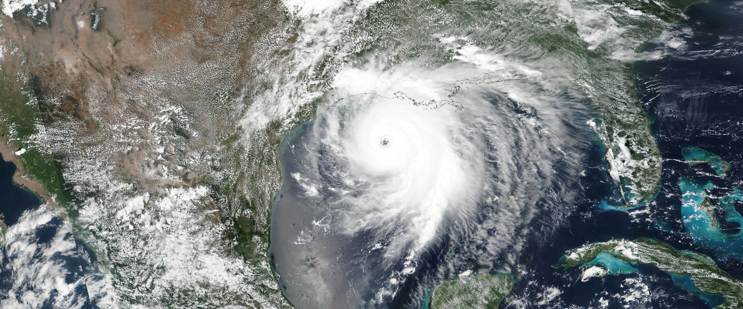
When a major natural catastrophe occurs, an insurer's information needs change quickly.
Before the event, teams want to know what could happen and where. As the event develops, they need to understand what is actually happening. Once the hazard passes, the focus shifts toward identifying potentially affected properties, assessing impacts, and supporting claims and recovery.
This makes real-time catastrophe intelligence an important part of the insurance response. The value isn't simply receiving another alert. It is having a continuously updated view of the event that can help insurers move from awareness to exposure assessment to response and, ultimately, impact analysis.
Many catastrophe events begin with a period of anticipation. A hurricane is being monitored as it approaches land. Severe weather conditions are developing. Heavy rainfall is forecast. Wildfire conditions are increasing.
At this stage, insurers can use available forecasts, watches, warnings, and early hazard intelligence to identify areas that may require attention. For catastrophe and portfolio teams, the initial questions may include:
This is the preparation phase. The information is still largely about what could happen, but it gives insurers an opportunity to establish an initial view of potential exposure before the event develops.
Once a catastrophe begins, the information needs change. Forecasts and warnings remain important, but insurers now need to understand the event itself.
Real-time catastrophe intelligence can bring together observations from weather agencies, satellites, radar, sensors, and other authoritative sources to help answer these questions.
This distinction between forecast intelligence and observed intelligence is important.
A forecast might indicate that heavy rainfall could produce flooding. Observed intelligence can help establish where flooding has actually occurred and how the affected area is changing.
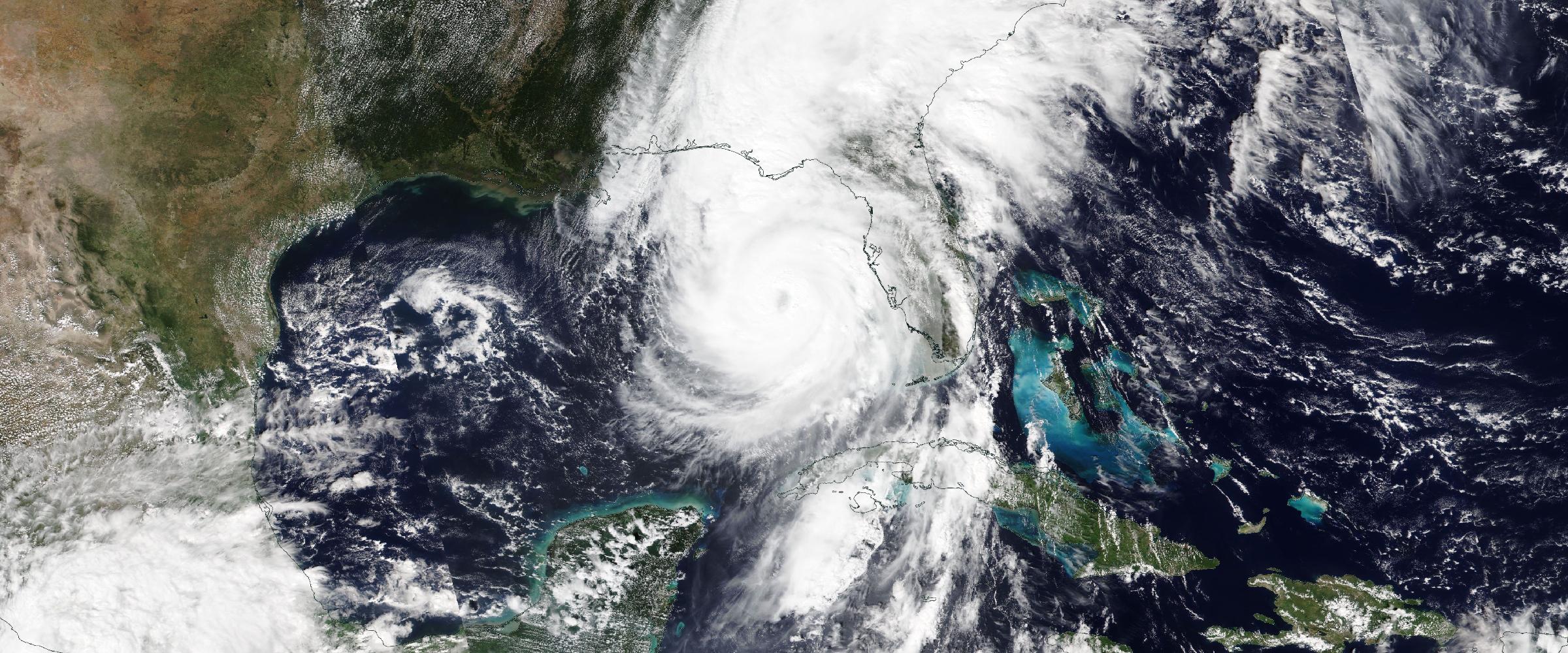
A forecast might indicate that a hurricane could bring damaging winds to a region. Real-time event intelligence can help insurers monitor the actual event as it develops.
The objective is to continuously refine the picture of what is happening on the ground.
Watch live catastrophes against your portfolio
DisasterAWARE Historical Event Intelligence delivers catastrophe events as footprints with dates, severity and source provenance — ready to intersect with your own portfolio data.
As an event develops, geographic information becomes increasingly important. A catastrophe isn't simply a point on a map. It has a footprint.
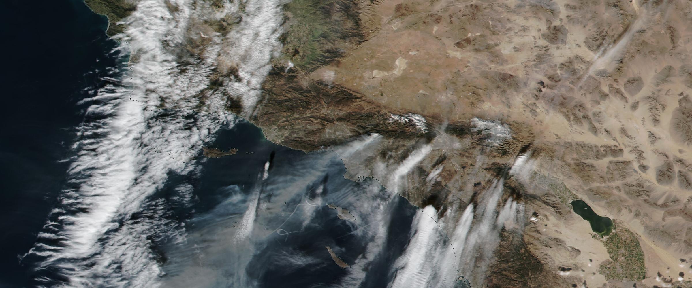
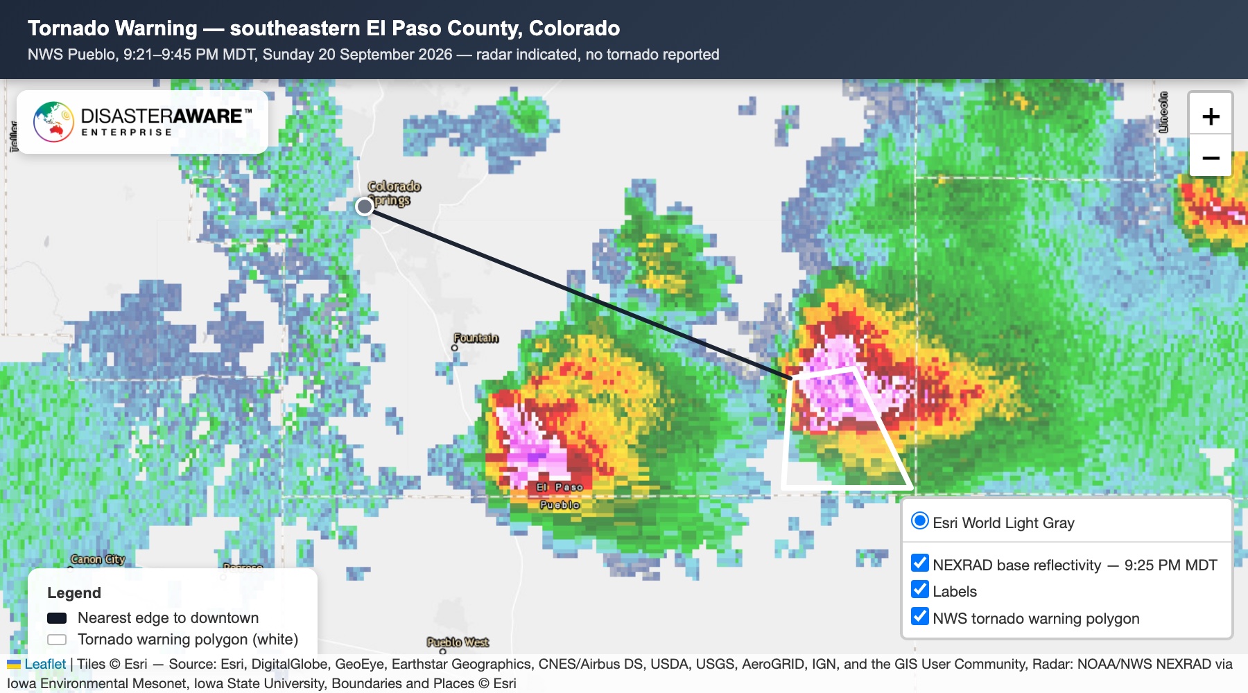
A wildfire may have an expanding perimeter. A tornado may have a track. A flood may have an affected area. A hailstorm may produce a defined swath. A hurricane can produce multiple hazard footprints as it moves across a region.
These geographic representations allow insurers to move beyond a general understanding of the event.
Instead of:
“A catastrophe is affecting this region.”
the question becomes:
“Where exactly is the event occurring, and how is its footprint changing?”
This geographic context becomes the foundation for the next stage: understanding portfolio exposure.
Once an insurer has a better understanding of the event footprint, it can compare that information with its own exposure data. This can help identify potentially affected:
For example, an insurer monitoring an active wildfire could compare the current fire perimeter with its insured properties. A tornado track could be analyzed against commercial locations. A flood footprint could be compared with policy locations.
The goal isn't to determine that every property inside a footprint has suffered damage. Instead, it is to establish where the insurer's portfolio intersects with the catastrophe.
That distinction is important. Exposure identifies where to look. It does not, by itself, establish loss.
Once potentially exposed locations have been identified, insurers can begin prioritizing their response. A large catastrophe can affect thousands of properties across a broad geographic area. Insurance teams may need to determine where to focus resources first. Real-time catastrophe intelligence can provide a geographic basis for that prioritization.
For example, an insurer might identify a concentration of commercial properties within an active wildfire footprint. That information could help catastrophe teams determine where additional monitoring or investigation may be appropriate.
Similarly, if a tornado track intersects a concentration of insured properties, those locations can be flagged for follow-up.
The objective is not to replace claims or field assessments. It is to give response teams a more informed starting point.
One of the most useful characteristics of real-time catastrophe intelligence is that it can provide information before claims data fully develops. Claims are inherently reactive.
A policyholder experiences an event, assesses the damage, and submits a claim. Event intelligence provides another perspective: what the hazard itself did and where it occurred.
That can allow insurers to begin assessing potential exposure before claims volumes reveal the geographic pattern of losses. Teams can start asking:
This can help insurers move from a purely reactive response toward a more proactive one.
As claims begin arriving, catastrophe intelligence can be combined with claims information to provide additional context.
Consider a tornado event. An insurer may have an observed tornado track, a portfolio of insured properties, and incoming claims. Comparing these datasets can help identify relationships between the event and reported losses.
The same principle applies to other hazards. A wildfire footprint can be compared with properties reporting losses. A flood footprint can be compared with policy locations and first notices of loss. Hail intelligence can be analyzed against claims concentrations.
This doesn't establish that a particular claim is valid or that a property was damaged.
Instead, event intelligence provides another layer of evidence that can be considered alongside claims data, imagery, adjuster assessments, and other information.
As the event progresses and eventually subsides, insurers can begin moving from potential exposure toward impact assessment.
The questions change again:
This is where the distinction between a warning and an observed event becomes particularly important. The initial warning may cover a broad area. The final observed event may have affected a much smaller or different geographic area. By retaining information throughout the event lifecycle, insurers can compare what was initially expected with what ultimately occurred.
The value of real-time catastrophe intelligence doesn't end when the event is over.
Information collected during the event can become part of a historical event record.
That record can include information about the event's location, timing, footprint, severity, and other available observations.
Over time, these records can support broader insurance analysis. Insurers can examine:
An event that began as a live operational issue can therefore become part of the insurer's longer-term risk intelligence.
The broader opportunity is to connect these stages into a continuous workflow:
Prepare → Monitor → Map → Identify Exposure → Prioritize → Assess → Learn
Before an event, insurers prepare using forecasts and early warning information.
During the event, they monitor what is actually happening.
Geospatial intelligence helps establish the event footprint.
Portfolio data identifies potentially exposed locations.
Exposure information helps prioritize response.
Claims and other evidence help assess impacts.
Finally, the event becomes part of the historical record.
This creates a more complete view of the catastrophe than any single alert, forecast, or claims dataset can provide on its own.
The insurance industry's information needs don't remain static during a natural catastrophe.
Before the event, the question is:
What could happen?
During the event:
What is actually happening?
As the footprint becomes clearer:
What is exposed?
As claims and other information arrive:
What may have been affected?
After the event:
What actually happened, and what can we learn from it?
Real-time catastrophe intelligence helps connect those questions. The value isn't simply faster alerts. It is the ability to maintain a continuously updated picture of an evolving catastrophe and connect that picture to the locations, assets, and portfolios an insurer cares about.
Natural catastrophes will always involve uncertainty. No single dataset can determine exactly what happened to every property during a major event. But insurers can improve their understanding by bringing together multiple layers of information: forecasts, observations, event footprints, exposure data, claims, imagery, and historical records.
The result is a progression from awareness to understanding to action.
And as catastrophe intelligence becomes increasingly real-time, geographic, and granular, insurers have an opportunity to respond to events with a much clearer picture of what is happening—and where their portfolios intersect with the hazard.
DisasterAWARE provides real-time and historical natural catastrophe intelligence across a broad range of hazards, combining authoritative data sources, geospatial analytics, satellite and observational data, and event-level intelligence.
By providing continuously updated information about active hazards and their geographic footprints, DisasterAWARE helps insurers monitor events, identify potentially exposed locations, support catastrophe response, and build a historical record of observed events.
Explore the historical record
Decades of reconstructed, verified catastrophes — browse the Historical Event Intelligence overview, or request sample data for your own portfolio.
How do insurers use real-time catastrophe intelligence during an event? Across the whole event: establishing the threat before it arrives, understanding what is actually happening as it develops, mapping it, connecting it to the portfolio, prioritizing response, preparing for and triaging claims, assessing what happened and turning the live event into historical intelligence.
Isn't real-time catastrophe intelligence just another alert? No. The value is a continuously updated view of the event that helps insurers move from awareness to exposure assessment to response and, ultimately, impact analysis — not a single notification.
What happens to real-time intelligence after the event ends? It becomes historical intelligence. The record of how the event developed, what it affected and how the portfolio was exposed supports later underwriting, portfolio and claims analysis.





































































-min.png)


.png)


.png)









Decision-ready intelligence for understanding what's happening, what is impacted, and what to do next. Global hazard, severe weather, catastrophe, and physical risk intelligence trusted by governments, enterprises, insurers, humanitarian organizations, and technology platforms worldwide.
Request DemoContact Us

