



Nearly every wildfire intelligence platform today starts with satellite observations. NASA's Fire Information for Resource Management System (FIRMS) has become one of the world's most trusted sources for detecting active fires using thermal observations from MODIS and VIIRS satellites, delivering near real-time fire detections across the globe.
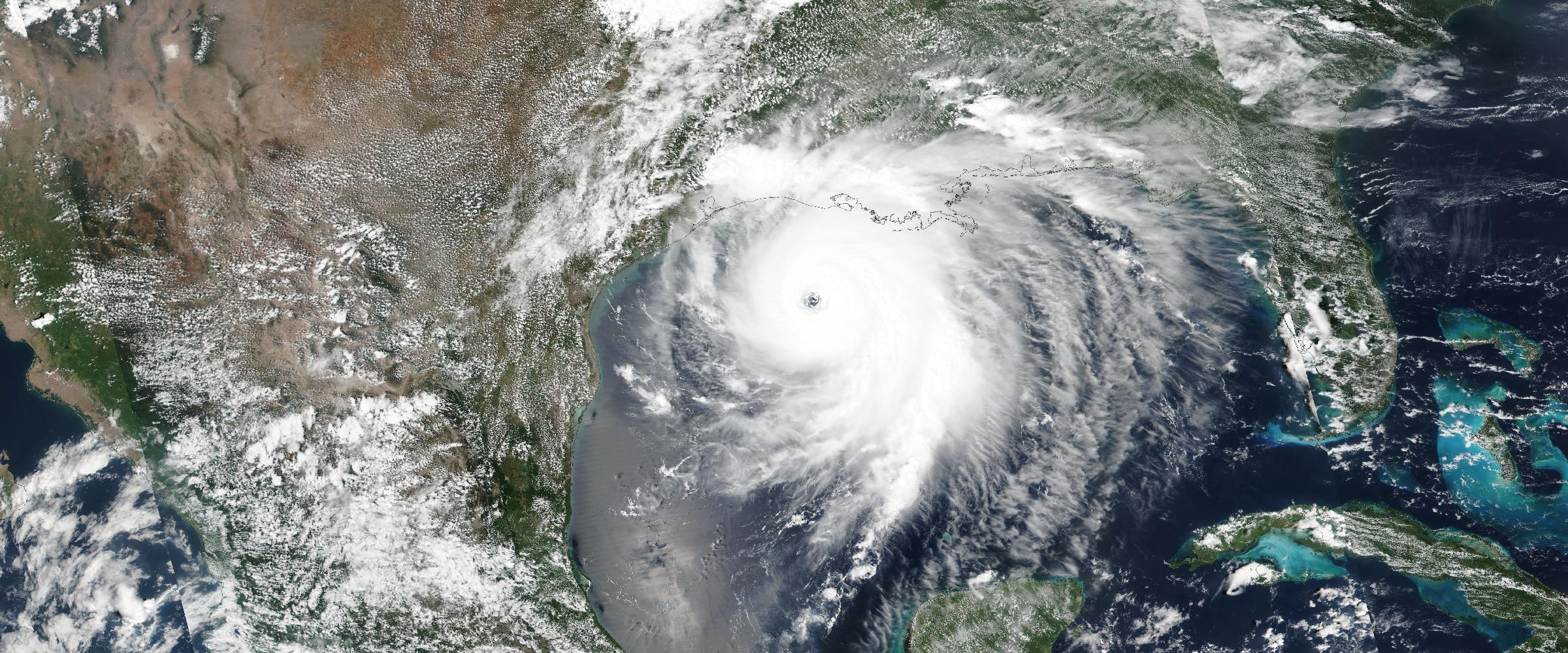
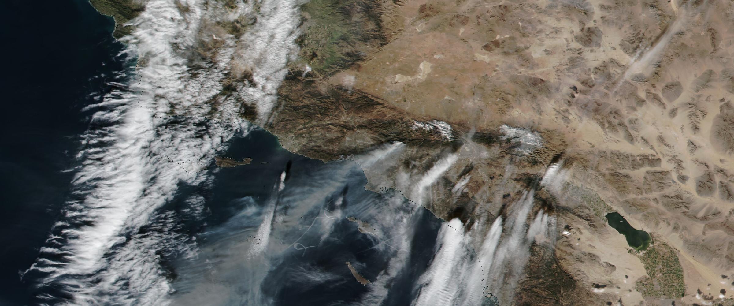
Banner: British Columbia's fire complexes (NASA imagery, August 10, 2026) — every red point is one VIIRS thermal detection; the haze is smoke. Thousands of points, a handful of actual fires: the difference between data and intelligence.
These observations are incredibly valuable. They tell us where heat has been detected.
But that's not the same thing as understanding a wildfire.
Imagine looking at a city from an airplane at night. You can see thousands of lights. But you don't know which lights belong to hospitals, airports, schools, factories, or homes.
Raw wildfire detections work much the same way.
A satellite may identify hundreds — or thousands — of thermal anomalies associated with a single wildfire. Additional detections arrive as satellites make new passes. Smoke, clouds, terrain, and viewing angles all influence what satellites observe.
While this information is essential, it rarely answers the questions organizations actually need answered:
Those are intelligence questions — not detection questions.
From hotspots to incidents
DisasterAWARE transforms raw satellite detections into coherent, continuously updated wildfire incidents — with the exposure context that makes them actionable.
Organizations responsible for protecting people, infrastructure, supply chains, or insured assets don't have time to interpret thousands of satellite detections. They need a continuously updated operational picture.
That's why DisasterAWARE transforms raw satellite observations into coherent wildfire incidents. Rather than presenting thousands of individual hotspots, our proprietary models correlate related detections over time and space, reducing noise and organizing observations into meaningful wildfire events.
The result is a cleaner operational picture that's easier to monitor, analyze, and act upon — you can see it running now on the live wildfire hub.
Satellite detections remain one of the most important inputs into wildfire monitoring. But they're only one piece of the puzzle. Operational decision-making also requires:
The future of wildfire intelligence isn't about choosing one data source. It's about intelligently combining many of them into a single operational view — the full architecture is in our wildfire intelligence overview.
That is the difference between seeing fires — and understanding them.
Why does one wildfire generate thousands of satellite detections? Each satellite pass records every thermal anomaly it observes — and a large fire burns for days across a wide area, observed by multiple satellites at different times and angles. Without clustering and deduplication, those observations accumulate into thousands of overlapping points for a single incident.
Can satellite detections show a fire's perimeter or containment? No. Thermal detections indicate where heat was observed — they don't define perimeters, report containment status, or carry incident names. That operational context comes from incident management agencies and analytic processing layered on top of detections.
What turns fire detections into wildfire intelligence? Correlating related detections across space and time into a single incident, tracking growth, adding official agency reporting, and assessing exposure — which facilities, people, and assets sit in and near the fire's footprint.





































































-min.png)


.png)


.png)









Decision-ready intelligence for understanding what's happening, what is impacted, and what to do next. Global hazard, severe weather, catastrophe, and physical risk intelligence trusted by governments, enterprises, insurers, humanitarian organizations, and technology platforms worldwide.
Request DemoContact Us

