













Hazard Intelligence Briefings

Thank you! Your submission has been received!
Oops! Something went wrong while submitting the form.
Latest News
August 12, 2026

Flood extent shows where water went. Flood depth shows how severe it was — six inches in a parking lot vs six feet through a building. Why depth is the dimension that changes insurance, utility, and supply chain decisions.

Read More
Arrow white right

Previous

All
August 5, 2026
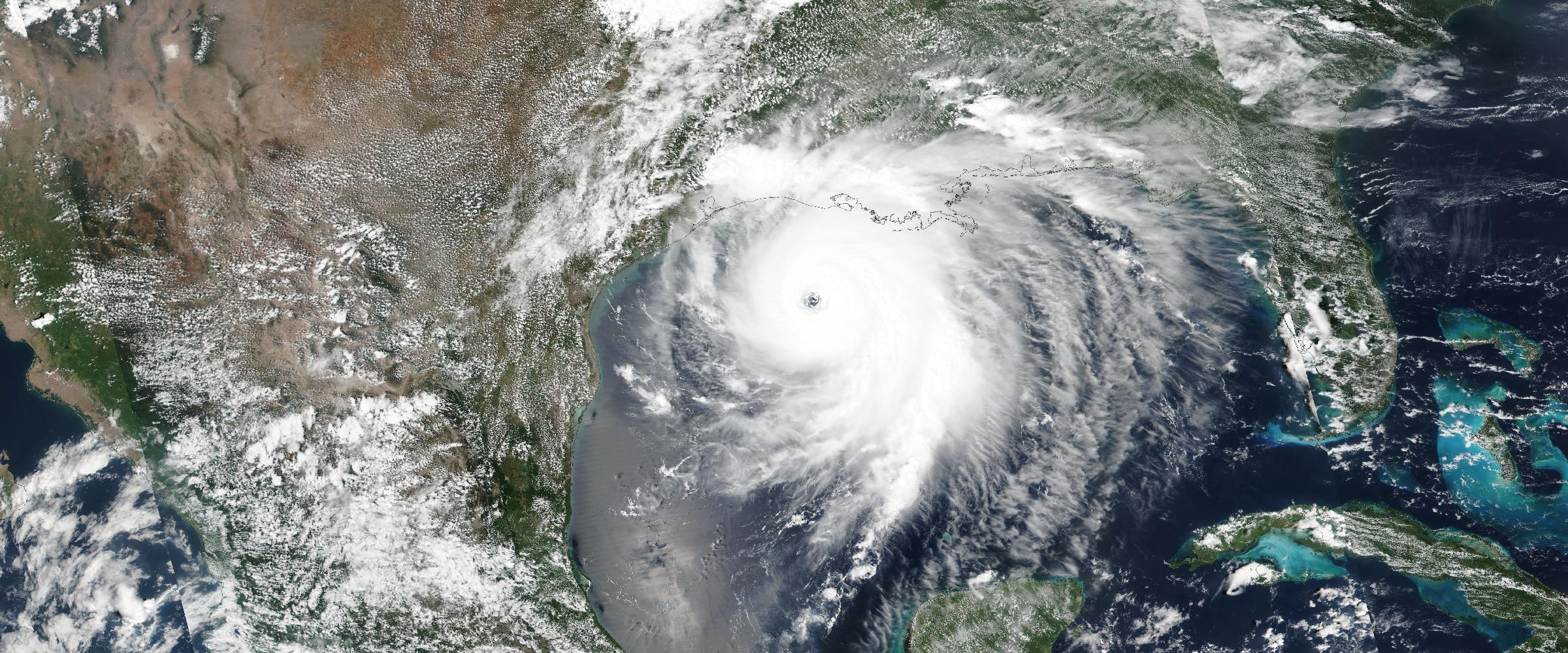
Everyone watched the same hurricane. Everyone experienced a different event. Historical Exposure Intelligence connects reconstructed catastrophes to your facilities, suppliers, and portfolios — from "what happened?" to "what happened to me?"
All
August 4, 2026
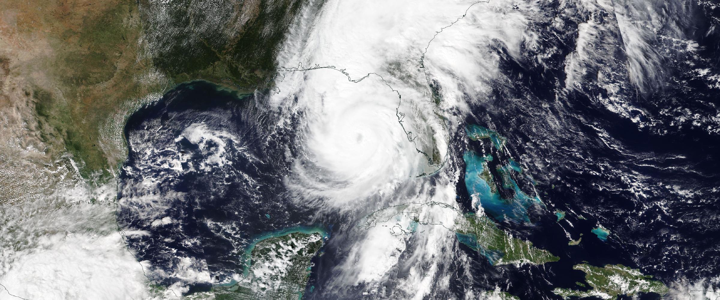
When Hurricane Ian ended, its story fragmented across a dozen archives — satellite imagery in one, wind observations in another, surveys somewhere else. How DisasterAWARE rebuilds historic catastrophes from authoritative evidence, step by step.
All
August 3, 2026
Organizations invested twenty years in predicting disasters. A new category of intelligence answers the question prediction can't: what actually happened? Why reconstructed, verified historic disasters are becoming essential to enterprise resilience.
All
July 31, 2026
We have more historical weather data than ever — yet "what actually happened?" is still hard to answer. Weather archives record what the atmosphere did. Enterprises need what the disaster did: reconstructed, verified, event-level intelligence.
All
August 11, 2026
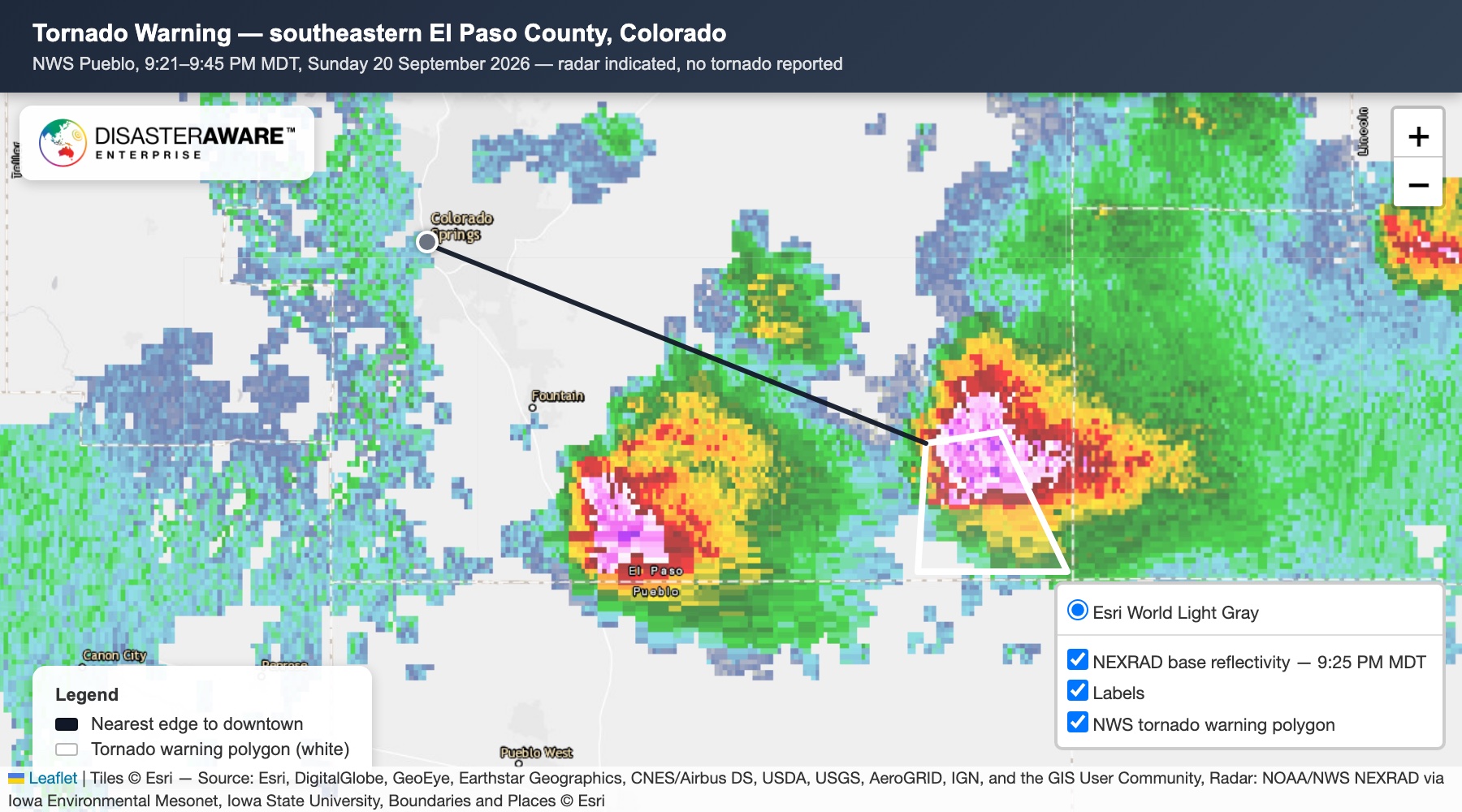
A warning doesn't mean severe weather occurred — warnings are forecasts. How each historic storm is reconstructed from observed evidence: verified hail, confirmed tornadoes with EF ratings, measured winds, complete provenance.
All
August 11, 2026
Catastrophe models simulate what could happen. Historical Catastrophe Intelligence reconstructs what actually happened. One predicts; the other documents — and every model ultimately depends on the quality of the historical record beneath it.
All
August 11, 2026
NASA FIRMS is one of the world's most respected wildfire detection sources — and DisasterAWARE builds on it. How satellite observations become enterprise intelligence: incidents, official context, and connection to your assets.
All
August 11, 2026
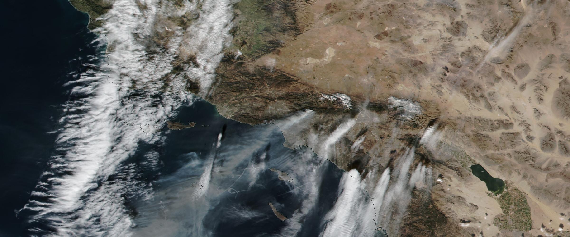
Most wildfire platforms answer one question: where is the fire? Enterprise decisions need harder answers — which assets are threatened, what action to take. The four layers: detection, verification, intelligence, impact.
All
August 11, 2026
Wildfires don't respect political boundaries — Canadian fires disrupt US supply chains, air quality, and insurance portfolios routinely. Why DisasterAWARE integrates wildfire intelligence across the United States, Canada, Australia, and Europe.
All
August 11, 2026
Every wildfire dataset has strengths and limitations — and a single source fails exactly when accuracy matters most. Satellites deliver speed; agencies deliver context; analytics connect everything.
All
August 11, 2026
A satellite can identify thousands of thermal anomalies from one wildfire — but not which fire it is, whether it's growing, or what it threatens. Why detection and intelligence are fundamentally different questions.
All
August 11, 2026
A thermal hotspot isn't a wildfire. How DisasterAWARE clusters NASA FIRMS detections into coherent incidents, adds official NIFC and international agency reporting, and connects wildfire intelligence to the assets you actually protect.
All
August 12, 2026
Flood extent shows where water went. Flood depth shows how severe it was — six inches in a parking lot vs six feet through a building. Why depth is the dimension that changes insurance, utility, and supply chain decisions.
All
August 12, 2026
Forecasts predict where flooding may occur. Observed flood intelligence measures what actually happened — river stage, severity, inundation extent, and flood depth from authoritative federal observations, refined with survey-grade ground truth.
All
August 7, 2026
Real-time, global, multi-hazard event data for insurers: pre-landfall exposure checks, CAT claims triage, parametric triggers, and underwriting where no cat model exists — proven inside the world's largest broker's products.
All
August 7, 2026
Typhoon Dolphin 2026 crossed Okinawa as a Cat 1, restrengthened to Cat 2 over the East China Sea, and is projected to hit China's Zhejiang coast ~Aug 9. The full 47-advisory intelligence trail, in a 2,166-event week.
All
July 30, 2026
One quake, four hazards in 90 minutes: Japan's M7.1 Kyushu quake became tsunami alerts, a fatal Kumamoto collapse, and a running aftershock sequence — 3.4M exposed. Plus 1,853 wildfires and Afghanistan's deadly floods.
All
July 1, 2026
Two heat domes, one holiday weekend: 767 agency heat alerts across ~40 countries — 4x the June 16 brief. Europe peaks now; a second dome hits the eastern US for July 4. Plus 1,468 wildfires, the Canada smoke cascade, and Venezuela's quake doublet.
All
June 30, 2026
Why Venezuela's June 2026 earthquake killed where it did: a M7.2+M7.5 doublet struck inland, but 1,450+ died 180 km east on La Guaira's soft coastal soils. Inside the shaking science, the rescue, and the exposure intelligence.
All
June 17, 2026
Heat belt closes around the Northern Hemisphere: 185 heat alerts in 10 days — 26 WARNINGs, 34 WATCHes, 125 ADVISORIES. Canada 8 ECCC WARNINGs. Switzerland 11 MeteoSwiss WATCHes. Plus 855 wildfires, Etna at WARNING.
All
June 8, 2026
Two unconnected earthquakes 19 hours apart: M7.8 off Mindanao exposing 10.9M people, 24 aftershocks M5–6.5, and four Pacific tsunami advisories that activated and cleanly stood down. Plus M6.1 Cuba felt across Florida; 84 wildfires; 16 volcanoes.
All
May 27, 2026
Heat behind the fire: five Extreme Heat WARNINGs enclose ~250M people across three continents (Pakistan alone 215M at 47–50°C) — and formal heat warnings are now spreading across Europe. Plus a persisting fire belt and 13 active volcanoes.
All
May 20, 2026
Two weeks into Northern Hemisphere fire season, the Fire Belt has widened. 820 named wildfire events across six continents in 10 days, 212 at WARNING; heat WARNINGs overlay fire-active geography in Mexico, the Sahel, Central Asia.
All
May 7, 2026
Northern Hemisphere fire season is back — all at once. In the last 24 hours, DisasterAWARE detected 1,352 active wildfire perimeters and 9,444 thermal hotspot cells across five continents — about 1.5 million acres of burning footprint.

Understand What's Happening. Know What It Means. Decide What To Do Next.

DisasterAWARE transforms real-world events into operational intelligence for enterprises, governments, insurers, and technology platforms.