


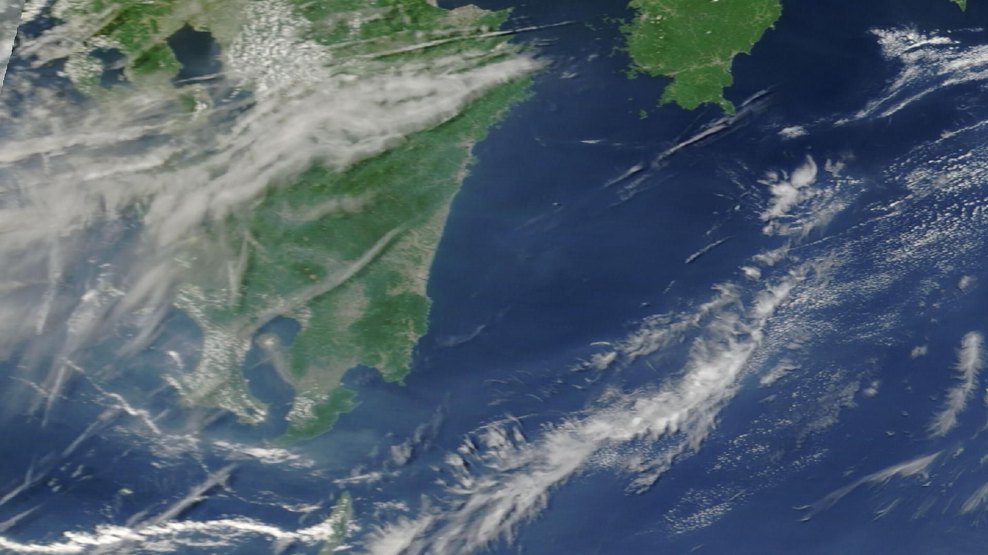
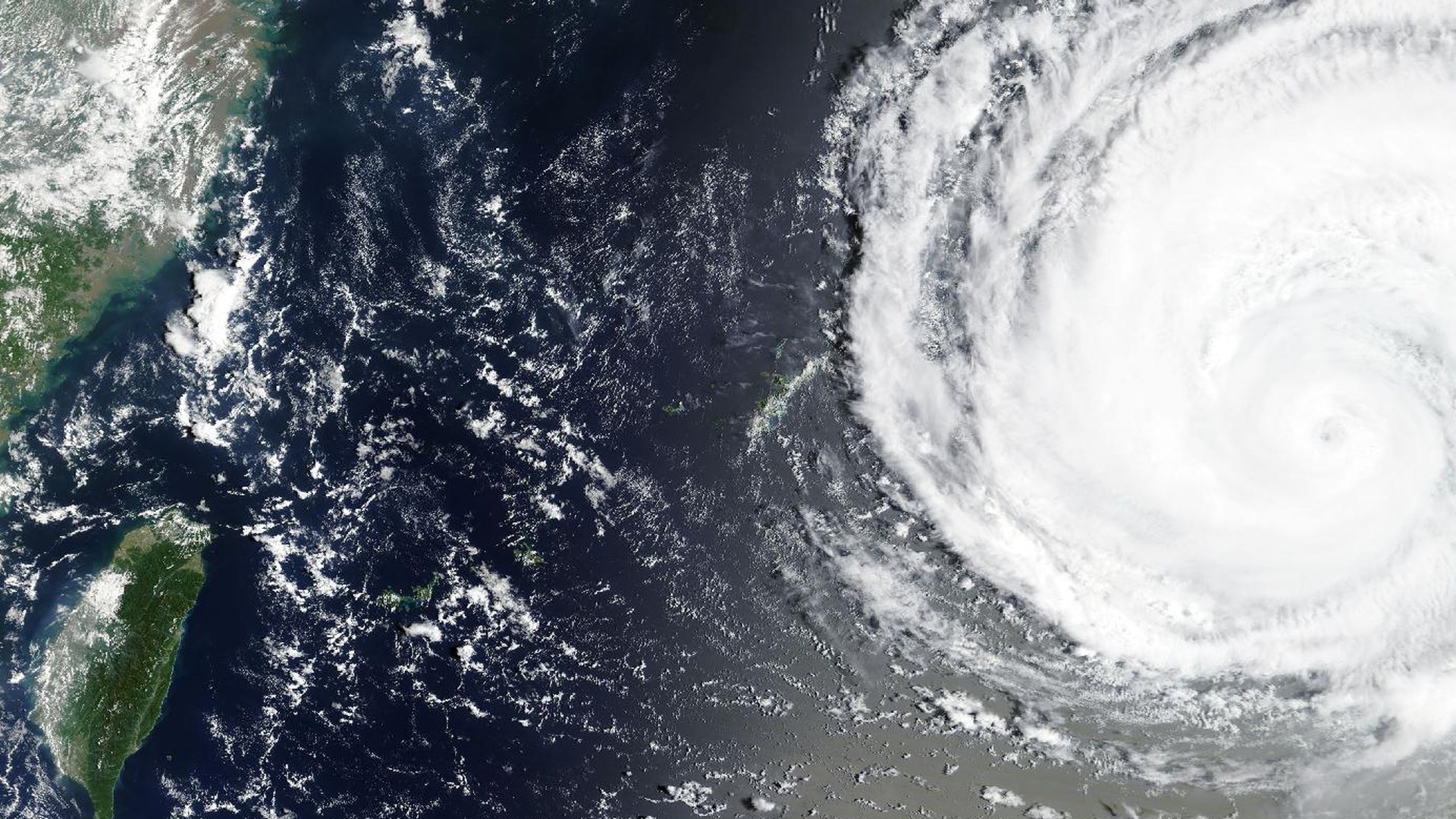
At 07:27 UTC on July 28, a magnitude 7.1 earthquake (Japan Meteorological Agency; the USGS National Earthquake Information Center logs it at M6.8) struck five kilometers east of Uto, in Kumamoto Prefecture on Japan's Kyushu island, at a shallow ten kilometers of depth. What happened in the next seventy minutes is the clearest demonstration in months of why multi-hazard intelligence exists. By 07:40 UTC, tsunami bulletins were active for the Hawaiian Islands; by 07:46, for Alaska, British Columbia, and the US West Coast; by 08:38, a one-meter tsunami warning stood for the local Pacific coastline nearest the epicenter. In Kumamoto City, a commercial building partially collapsed with an explosion captured on dashboard cameras and shopping-mall security footage — a separate, exposure-scored accident event in DisasterAWARE now carrying a preliminary toll of 80 victims: 18 dead and 62 wounded. And beneath all of it the aftershock sequence began: M5.6 near Tsunagi within three hours, M5.4 the next day, M5.0 back at Uto on July 30 — each tracked as its own event with its own population-exposure estimate. One seismic rupture, four hazard types — earthquake, tsunami, structural collapse, aftershock — each with different geography, different lead time, and a different operational response. The initial exposure estimate for the mainshock alone: 3.41 million people, 1.54 million households, and $1.21 trillion (USD) of infrastructure concentrated within the affected area.
A note on what is confirmed and what is not, because this brief labels the difference on every line. The Kyushu earthquakes, the Kumamoto collapse, the Afghanistan floods, and the wildfires below are occurred or occurring events. The tsunami bulletins were formal alert products — issued, then cleared without a destructive wave, which is the system working as designed, and we report them as alerts. And the 708 heat warnings in the "On the Horizon" section at the end are agency forecasts, not confirmed events; they get their own clearly labeled section and a separate dashed layer on the map. Wildfire detections originate as NASA FIRMS thermal signatures — real combustion observed from space, not forecasts — with ground corroboration following in the days after detection.
Open map full screen in a new tab ↗
See events like this as they unfold
DisasterAWARE Enterprise monitors 30+ hazard types worldwide in real time — with the population, infrastructure, and assets exposed under each one.
Most hazard events are one thing: a fire is a fire, a flood is a flood. The July 28 Kyushu earthquake was four things inside ninety minutes, and the way it unfolded is a case study in why single-hazard monitoring fails exactly when the stakes are highest.
07:27 UTC — the mainshock. The rupture struck five kilometers east of Uto, a city of about 36,000 on the neck of the Uto Peninsula, ten kilometers deep — shallow enough to deliver severe shaking across the densely populated Kumamoto plain. The JMA measured it at magnitude 7.1; the USGS NEIC's seismic solution reads 6.8. (The agencies use different magnitude scales and station networks; both describe the same rupture, and we cite both.) DisasterAWARE's initial All-Hazards Impact Model estimate put 3.41 million people, 1.54 million households, and $1.21 trillion of infrastructure inside the affected area — Kumamoto City — home to roughly 740,000 people — sits directly against the epicentral zone, and Kumamoto is the prefecture still rebuilding trust in its building stock from the destructive 2016 doublet.
07:40–08:38 UTC — the tsunami question. Within thirteen minutes, the Pacific Tsunami Warning Center's Hawaii bulletin was live in DisasterAWARE: a tsunami threat existed for parts of the Pacific closer to the earthquake, none for Hawaii. Six minutes later, the Alaska/British Columbia/West Coast bulletin: no threat to North America. The local-Pacific series ran to six products, carrying a one-meter warning for the coastline nearest the epicenter before the threat was cleared. Media across the region ran tsunami-warning headlines for most of a day. Every one of those bulletins was an alert product doing its job — issued on the seismic solution, refined against sea-level observation, stood down when the ocean stayed quiet. The system worked. It is worth saying that plainly, because the alternative — bulletins that arrive after the wave — is what Japan's entire warning architecture was built to prevent.
The collapse. In Kumamoto City, a commercial building came down with an explosion — dashboard cameras and mall security footage of the moment circulated globally within hours. DisasterAWARE tracks it as its own event: Accident (Building Collapse) — Kumamoto, Japan, with a PDC report series updating through July 29 and a preliminary toll of 80 victims — 18 dead, 62 wounded. That number had climbed from initial media reports of 13 as rescue crews worked the debris; treat it as preliminary still. A collapse is not a shaking statistic. It is a point target for urban search and rescue, with its own perimeter, its own utility hazards, and its own casualty pipeline — which is why it earns its own event record rather than a footnote on the earthquake.
The sequence. Aftershocks are not epilogue; they are the phase of the disaster in which weakened structures actually fail. DisasterAWARE carried each significant aftershock as a separate exposure-scored event: M5.6 sixteen kilometers northeast of Tsunagi at roughly three hours after the mainshock — 157,000 people, 71,000 households, $44.0 billion of infrastructure in its footprint; M5.4 eleven kilometers north of Tsunagi on July 29 — 164,000 people, $48.4 billion; M5.0 back at Uto on July 30, whose broader shaking footprint touched 4.28 million people. The sequence was still producing felt events as this brief's data window closed. Kumamoto 2016 taught the hardest version of this lesson, when the second earthquake — larger than the first — brought down buildings the first had cracked.
The economic tail. Kyushu hosts a dense concentration of Japan's automotive and semiconductor manufacturing — the island's "Silicon Island" nickname is decades old and newly relevant. Media report production halts and inspection shutdowns across auto and chip plants following the quake. For supply-chain and business-continuity teams, this is the part of the cascade that outlasts the news cycle: structural inspections, supplier requalification, and logistics rerouting run weeks after the seismographs quiet down. And one more Kyushu detail belongs on the same operating picture: Aira — the Sakurajima caldera at the island's southern end — sits at volcanic WARNING this week, as it has for months of persistent activity. An earthquake response, a volcano at WARNING, and a supply-chain shock, all on one island, is precisely the kind of compound picture a single-hazard feed cannot show you.
The largest wildfire footprint this brief has ever carried breaks into two different stories, and honesty requires keeping them apart.
The raw count is led by the southern hemisphere's dry-season burning belt: Angola (366 events), the Democratic Republic of the Congo (348), Zambia (59), South Africa (40), Mozambique and Tanzania (about 20 each), with Brazil (28) and Bolivia (20) joining as South America's dry season deepens. This is the annual agricultural and savanna fire regime — enormous, real, satellite-observed combustion, but seasonal and largely anthropogenic, not an anomaly driven by any heat wave. It is also, cumulatively, one of the largest smoke and land-cover events on Earth each year, which is why it belongs on the map even when no single fire makes headlines.
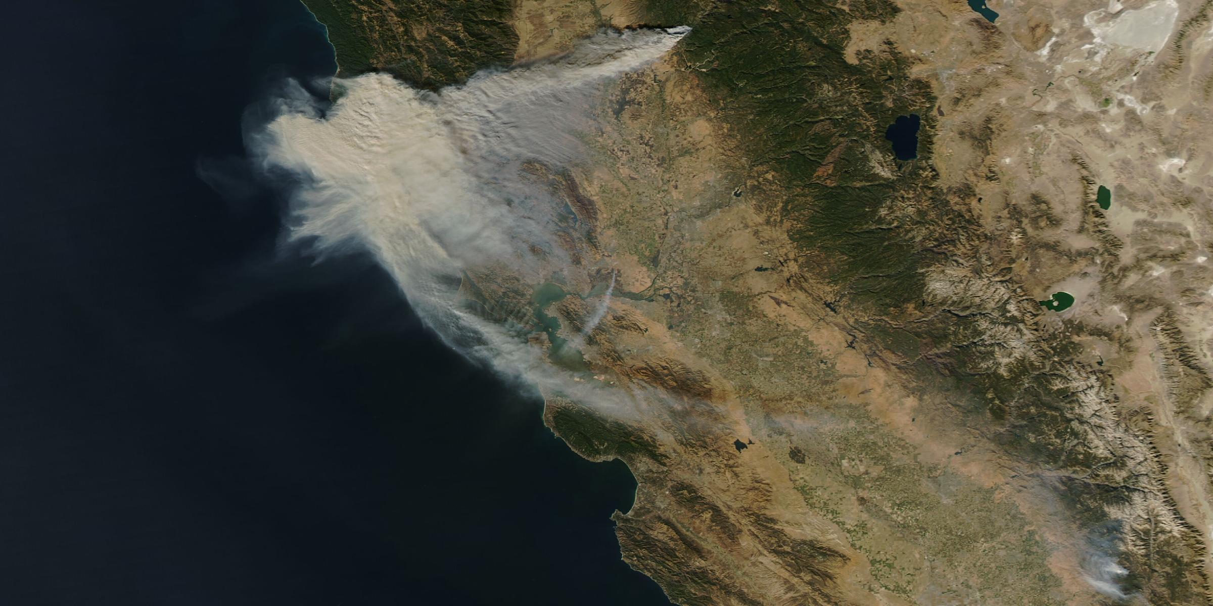
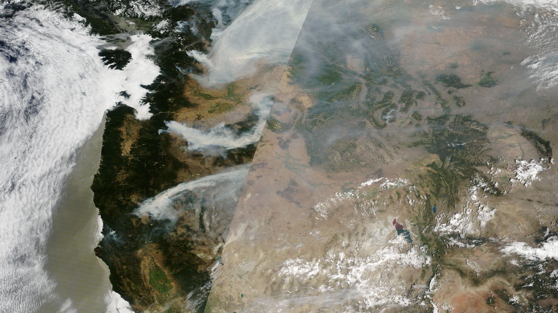
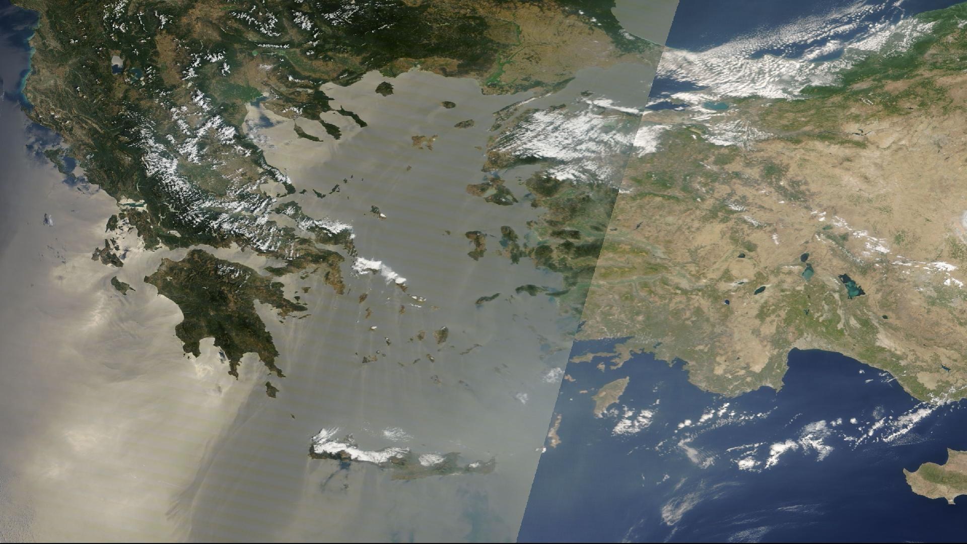
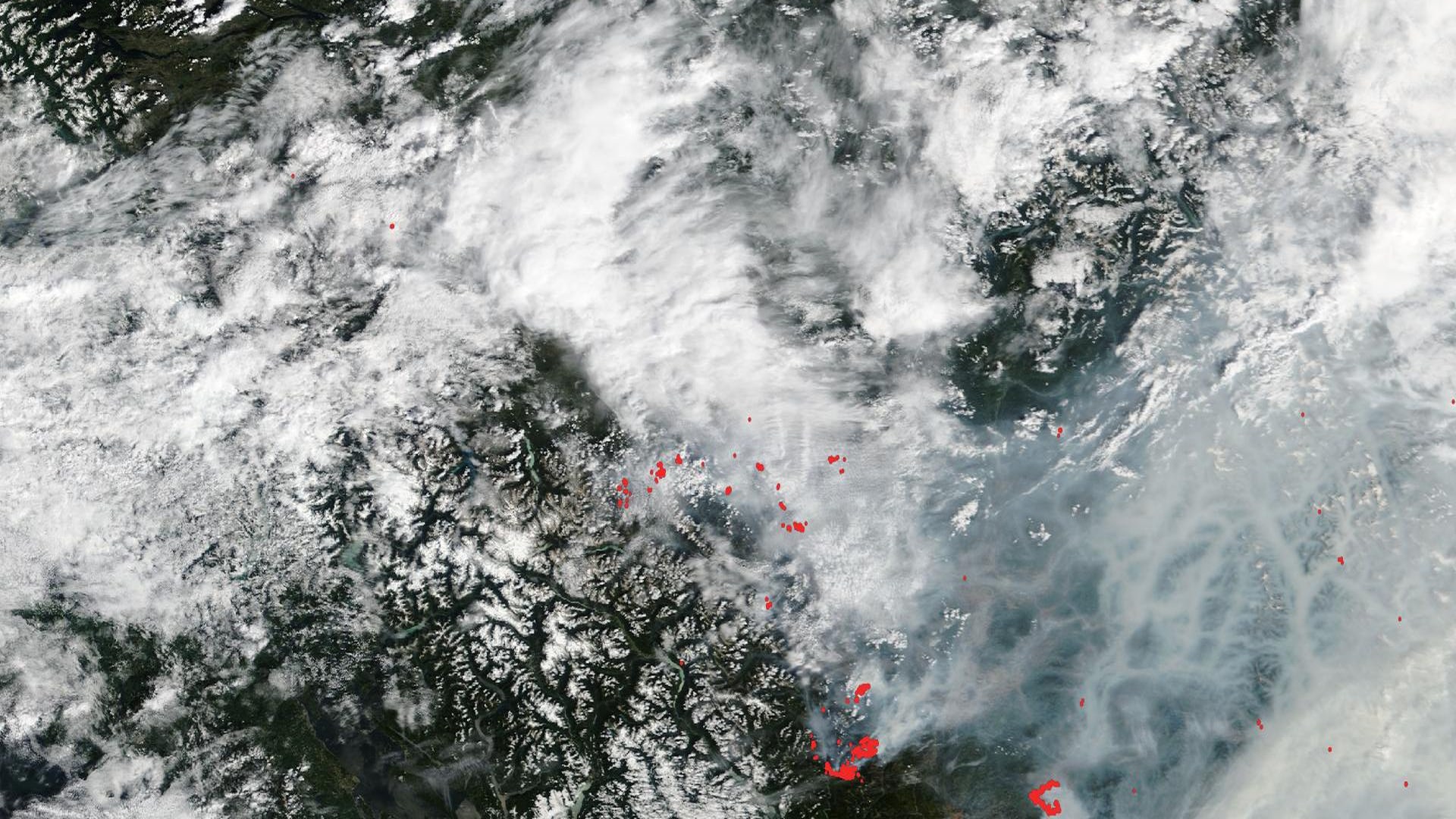
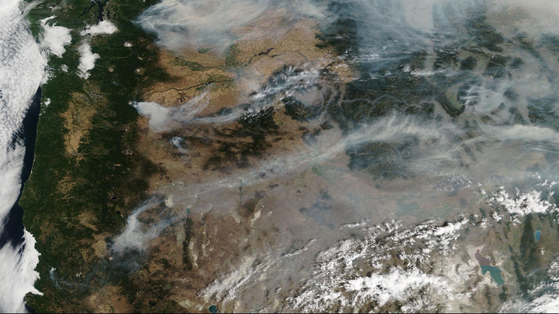
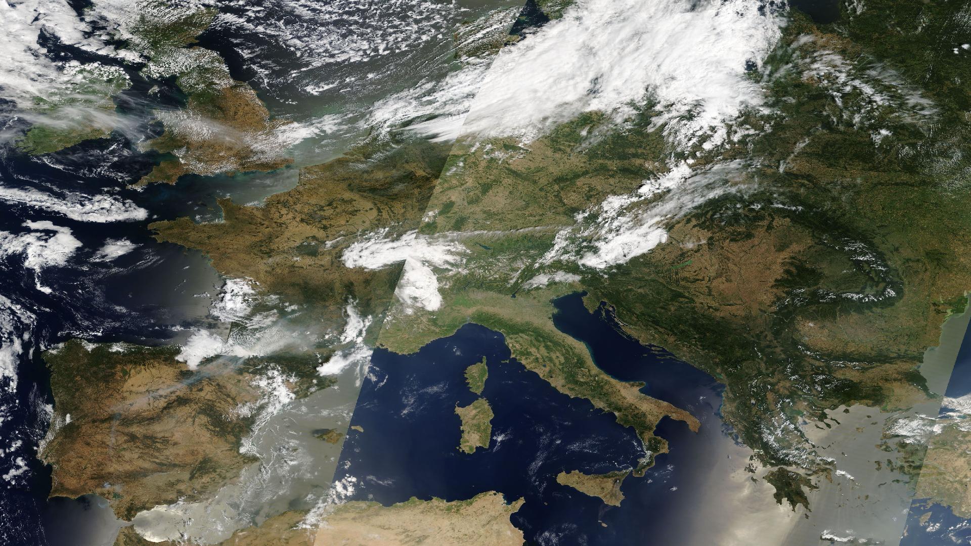
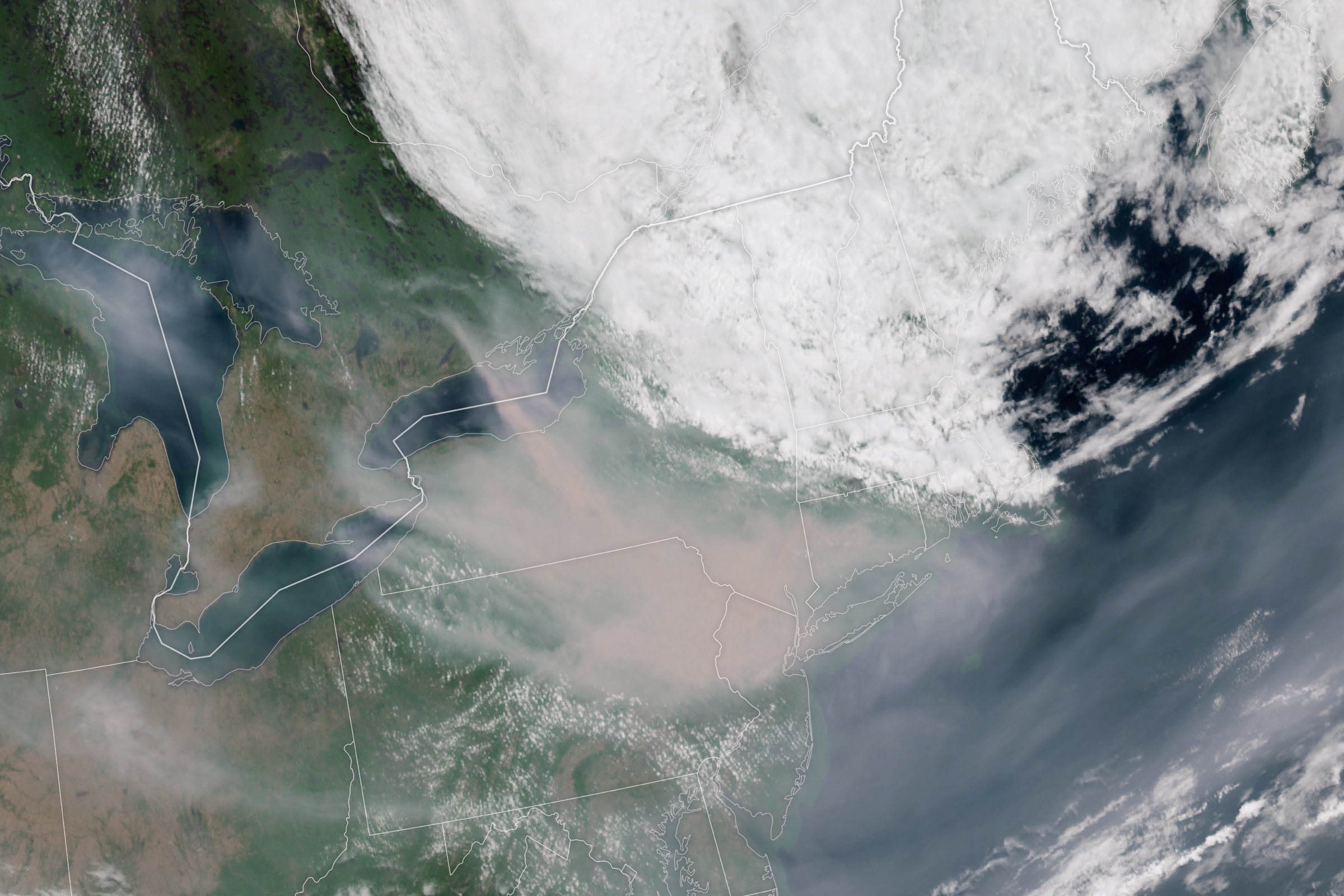
The northern story is the one with casualties and evacuations. Russia carries 229 events across its fire belt from Stavropol to Irkutsk; Canada 221, concentrated in British Columbia and Ontario; the United States 48, including active evacuation-order fires in Fresno County, California and Washington State. And the Mediterranean rim produced the week's deadliest fire fighting: media report two firefighter deaths in Greece as crews battled fires on Crete and in the South Aegean, with major incidents at Ayvalık and Tekirdağ (Turkey), León, Galicia, Castellón, and the Madrid–Ávila belt (Spain), Vila Real and Bragança (Portugal), and Gironde (France) — the same corridor sitting under Spain's 124 and Greece's 43 forecast heat warnings in the "On the Horizon" section below. Ukraine's 53 fire events deserve their own line: many burn in and around the combat zone — Zaporizhzhia, Mykolaiv, Odesa, Kherson — where firefighting capacity is a casualty of the war itself.
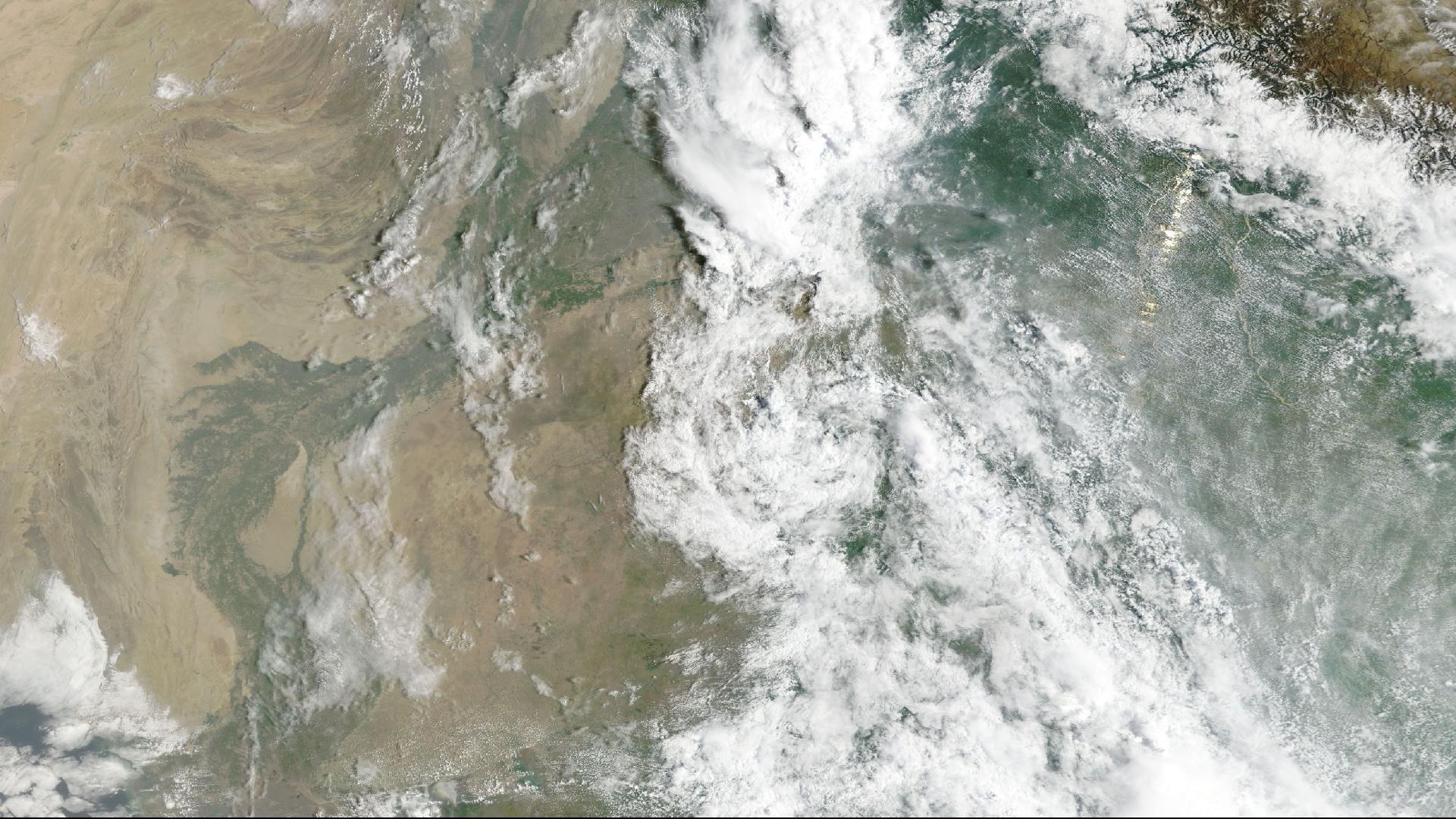
The week's deadliest flood event drew a fraction of the Kyushu headlines. Flash floods swept eastern, southeastern, and central Afghanistan in the final week of July. The Afghan Red Crescent Society's preliminary accounting, carried in IFRC operational report No. 2 (July 25): 31 dead, 11 injured, 77 missing, more than 910 families affected, and 910 houses fully or partially damaged, with the worst impacts in Parun City, Nuristan Province, and serious damage across Nangarhar, Laghman, Paktika, Paktia, Khost, Ghazni, and the Kabul-region provinces. WHO's Situation Report No. 2 (July 28) documents damage to homes, water systems, agricultural land, and public infrastructure across three regions, with affected communities "in urgent need of humanitarian support."
Both reports are attached directly to the flood event in DisasterAWARE — the WHO and IFRC PDFs, alongside PDC's own exposure product for Nuristan Province. That matters operationally: a duty-of-care or humanitarian-logistics team looking at the Nuristan event pin can open the authoritative agency reporting from inside the platform rather than hunting for it. It matters analytically too, because Afghanistan appears twice in this week's data — once for the floods, and once on the famine-monitoring layer, where it sits alongside nine other countries. A flood that destroys houses, roads, and standing crops in a country already under famine monitoring is not two separate stories.
Behind Afghanistan, the rest of the flood-and-storm picture is southern-hemisphere winter and monsoon: flood WARNINGs in Bolivia and northwest Colombia, storm WARNINGs in Mexico and Suriname, severe weather in Chile, high winds in Bolivia and Costa Rica — and Argentina under both Extreme Cold and Winter Storm WARNINGs, the planet's other temperature extreme running concurrently with the northern heat. In Texas, the long tail of the July 12 severe-weather and flood event is still visible in the data: the state Division of Emergency Management's situation-report series reached No. 12 on July 24 — recovery operations grinding on twelve days after the rain stopped.
The June 24 Venezuela doublet, the subject of our June 30 deep-dive, is still not over. The M7.5 Yumare event remains at WARNING with Response Support active — five weeks of continuous response operations, the longest-running major-earthquake response in the current dataset. The week's most-shared story from the zone was a small one: a dog pulled alive from rubble after 29 days and reunited with its family — the kind of story that keeps a recovery in public view long after the casualty counts stop moving.
Beyond Kyushu and Venezuela, the week logged 94 confirmed earthquake events. The most notable cluster sat on China's Gansu–Qinghai border, where M5.7 and M5.8 events struck the sparsely populated high country northwest of Oula Xiuma. And the tsunami system logged three additional no-threat bulletins — for small earthquakes off Kodiak and Atka, Alaska, and one off the northern California coast — routine products that are easy to ignore and shouldn't be: every no-threat bulletin is the same detection-and-assessment machinery that produced the Kyushu warnings, exercising on a quiet day.
Disease. Twelve biomedical events sit at WARNING. Ebola remains active across the Democratic Republic of the Congo and Uganda. The cholera belt runs nearly unbroken across the Sahel and Horn: Borno State (Nigeria), Cameroon, Central African Republic, Hadjer Lamis (Chad), and Sudan/South Sudan. Dengue WARNINGs cover Samoa, Vanuatu, New Caledonia, and Sri Lanka. And two of the WARNING-level entries are not infections at all but wildfire-smoke air quality — Hinton, Alberta and Kamloops, British Columbia — the Canadian fire season's public-health shadow, hundreds of kilometers from the flames.
Hunger. Ten famine events are under monitoring — South Sudan at WARNING, with Haiti, Somalia, Madagascar, Sudan, Ethiopia, Yemen, Northern Nigeria, Mozambique, and Afghanistan at INFORMATION. The overlap map is the point: South Sudan carries famine, cholera, and confirmed extreme heat simultaneously; Afghanistan carries famine monitoring and the week's deadliest flood.
Conflict. One hundred combat events and eight terrorism events are active in the window. Iran and Lebanon remain in Response Support. A maritime impact attack struck Odesa on July 20 — PDC's product for it is attached to the event — and airstrike activity continued across Gaza, with a drone strike logged at Al Mafraq, Jordan. Where the combat map and the wildfire map overlap — most visibly across southern Ukraine — each hazard degrades the response capacity for the other.
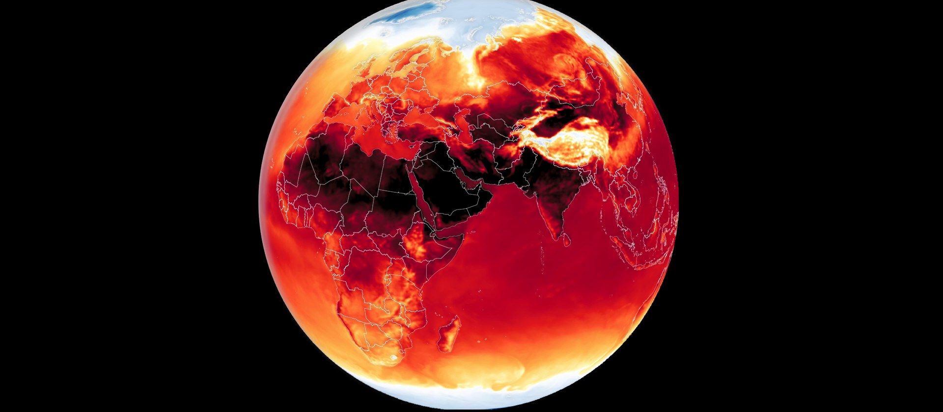
Everything above this line is a confirmed or occurring event. This section is not. The occurrence filter this week removed 708 agency-issued extreme-temperature warnings and advisories from the confirmed-event set — they are forecasts of dangerous heat, and we report them separately and label them on the map as a distinct dashed layer, off by default.
Their geography says where the next confirmed events are likely to surface: China leads with 184 (a broad interior-provinces heat episode, Qidong and Nong'an among repeat issuers), Spain 124 (the Balearics, Canaries, and multiple mainland regions — directly over the active fire corridor), the United States 59, Greece 43 (including Crete, already burning), Austria 34, Canada 26, Slovakia 22, and Ecuador 18. The confirmed extreme-heat events already active — the Central Asia belt from Kazakhstan through Afghanistan, the East Africa belt from Sudan through Kenya, Mexico, and Peru — mark where that conversion has already happened. If the pattern of the last two months holds (this brief documented the heat-belt closure on June 17 and the double heat dome on July 1), several hundred of these forecasts become next week's confirmed events.
The Kyushu aftershock sequence is the immediate watch item — the M5.0 on July 30 landed inside the data window's final hours, and sequence decay in a shallow crustal event near a major city takes weeks, not days. Structural inspection results across Kyushu's auto and semiconductor plants will determine whether the supply-chain story is a blip or a quarter. The Mediterranean fire-and-heat corridor has forecast fuel behind it — Spain's 124 and Greece's 43 pending heat warnings — and the southern-African burning season has not yet peaked. Afghanistan's flood toll, with 77 still missing, will rise. And two long-running responses — Venezuela's earthquake and the Iran/Lebanon combat theatre — remain in Response Support with no stand-down in sight.
Everything in this brief — a four-hazard earthquake cascade on Kyushu, 1,853 satellite-observed wildfires, a flash-flood disaster with WHO and IFRC reporting attached, 15 volcanoes at WARNING, the disease and famine belts, 100 combat events, and 708 heat forecasts held explicitly apart from the confirmed record — arrives in DisasterAWARE as one severity-labeled, continuously updated operating picture. The Kyushu cascade is the proof case: the platform did not show one pin. It showed a mainshock with 3.41 million people in its footprint, three basins of tsunami bulletins refining in real time, a building collapse with its own casualty pipeline and report series, and each aftershock scored against the population beneath it — because a response team, an airline, a manufacturer, or an insurer needs to know which of those four hazards touches their people and assets, and none of the four answers that question for the others.
DisasterAWARE Weekly Intelligence Brief. Data period: July 20–30, 2026, drawn from the DisasterAWARE Enterprise hazard feed (active and historical events, deduplicated), NASA FIRMS thermal detections, PDC tsunami, accident, and exposure products, WHO and IFRC situation reports, and national meteorological and geophysical services. Earthquake magnitudes cite both JMA and USGS/NEIC solutions where they differ. Casualty figures are preliminary and drawn from the agency reports attached to each event; heat warnings are agency-issued forecasts, not confirmed events, and are labeled as such throughout. Figures reflect the data as of July 30, 2026 and are refined as official sources report. Produced by DisasterAWARE / Pacific Disaster Center.



















-min.png)


.png)


.png)




Decision-ready intelligence for understanding what's happening, what is impacted, and what to do next. Global hazard, severe weather, catastrophe, and physical risk intelligence trusted by governments, enterprises, insurers, humanitarian organizations, and technology platforms worldwide.
Request DemoContact Us

