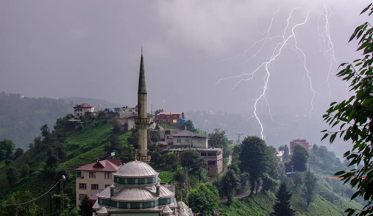
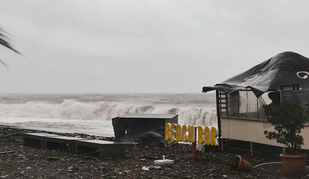
Tropical storms are among the most devastating natural hazards, with impacts that reach across continents and industries. According to the World Meteorological Organization, these storms have caused an estimated $1.4 trillion in damages globally over the past 50 years, and the population in cyclone-prone regions has doubled during that time—placing more lives, assets, and operations at risk than ever before.
DisasterAWARE Enterprise provides real-time tropical storm monitoring across all of the world’s oceans—from the Pacific and Atlantic to the Indian and Southern Oceans—ensuring your organization receives timely, comprehensive coverage no matter where a storm forms or where it’s headed.
Whether you’re tracking risks to supply chains, offshore assets, or personnel, DisasterAWARE gives you the global situational awareness you need to act decisively before disaster strikes.
DisasterAWARE Enterprise delivers a suite of expert reports for every official tropical storm advisory, helping your team make informed decisions with speed and confidence. These situational awareness products are created using data from authoritative agencies, applied science partners, and our own proprietary models.

Estimates the number of people, households, and critical infrastructure in the path of damaging winds, helping you understand who and what is at risk.
Displays the storm’s projected path with three distinct forecast models covering wind, rainfall, and storm surge threats.

Provides a high-resolution outlook on where and how much rain is expected to fall, helping anticipate flooding risks.
Offers a detailed forecast of coastal flooding, so you can assess threats to ports, coastal facilities, and low-lying areas.
These reports are automatically updated as new advisories are issued—ensuring you always have the latest intelligence at your fingertips.
DisasterAWARE Enterprise uses a clear and consistent severity scale to classify tropical storm hazards, so you know which events demand immediate attention. Our severity levels are based on how soon landfall is expected and whether populated areas may be affected—using data from authoritative forecasts and our proprietary analysis tools.
Landfall is expected within 36 hours and people may be affected. This is the most urgent classification.
The storm is being monitored, but no landfall is expected in the next 5 days.
Landfall is projected within 48 hours, with potential impact to populations.
Landfall may occur within 5 days, and populations could be at risk.
These severity levels help your teams quickly assess risk and take appropriate action—whether it’s initiating response plans, alerting personnel, or monitoring conditions as they evolve.
DisasterAWARE Enterprise ensures your organization receives precise, relevant alerts and impact estimates based on the latest tropical storm forecasts—no noise, no guesswork.
Our SmartAlert system automatically identifies which users should be notified based on a storm’s projected path. Alerts are sent after each new advisory and can be delivered via email, SMS, or push notification.
These tools help you proactively protect your people, facilities, and operations—well before the storm arrives.
DisasterAWARE Enterprise goes beyond alerts and reports by giving users direct access to a rich set of interactive data layers—helping organizations assess storm behavior, intensity, and areas at risk. These layers support global coverage across all ocean basins and provide key insights throughout the storm lifecycle.
These layers help you assess exposure to wind damage, inland flooding, and coastal inundation—all in one place.
Put today’s storm in perspective with ten years of historical cyclone tracks, showing the path and behavior of past systems from 2014 through 2024—across all ocean basins.
Asset Protection and Exposure Reporting - it’s ok to reuse the section from Wildfires
DisasterAWARE includes powerful Asset Protection tools that help organizations monitor how hazards—such as wildfires—affect the people, places, and infrastructure they care about most.
Once loaded, assets can be viewed in two ways: through the Notification Panel, or by enabling their associated map service layer under the User folder in the Layers Panel.Assets can be user-owned or shared at the organization level. Organizations with multiple teams can also set up Sub-Organizations, each with their own asset classes and notification rules—providing flexibility in how asset data is managed and accessed across departments.
For each asset class, users can define non-user contacts—such as building managers or emergency coordinators—who should receive notifications when a hazard threatens specific locations. These contacts receive email alerts with detailed hazard information, ensuring they stay informed even if they don’t actively use the platform.
These features help organizations stay ahead of emerging threats, understand the geographic relationship between hazards and their assets, and quantify their total exposure—supporting faster, more informed decisions during critical moments.
For businesses that require direct access to tropical cyclone intelligence, DisasterAWARE’s Natural Disaster API (DaaS) delivers the data you need—when and where you need it. Designed for seamless integration, the API enables organizations to embed authoritative hazard information into internal systems, operational workflows, or customer-facing solutions.
Storm location, severity, and forecasted path
Wind radii and cone of uncertainty
SmartAlert™ notification areas
Exposure zones, with breakdowns by impact level
Population, household, and capital exposure assessments
With this data, businesses can enhance situational awareness, automate response processes, and deliver high-value insights to their teams or customers—all while leveraging the same trusted information used by government agencies, humanitarian organizations, and large global corporations to manage risk and protect critical assets.
Decision-ready intelligence for understanding what's happening, what is impacted, and what to do next. Global hazard, severe weather, catastrophe, and physical risk intelligence trusted by governments, enterprises, insurers, humanitarian organizations, and technology platforms worldwide.
Request DemoContact Us