

DisasterAWARE Weekly Intelligence Brief — April 4 to April 14, 2026
There are weeks where one event dominates the headlines — and then there are weeks like this one, where the entire global risk landscape activates simultaneously. Typhoon Sinlaku, having peaked as a Category 5 Super Typhoon with 167 mph winds, continues churning through the Western Pacific with 109 intelligence products issued. Seventy-four satellite-confirmed wildfires burn across eight countries. Armed conflict spans four theaters — Gaza, Lebanon, Ukraine (where drone strikes now reach inside Russia), and West Africa. A school shooting in Turkey kills one and wounds sixteen. Afghanistan endures the compound catastrophe of flooding and famine simultaneously. And underlying all of it: six drought emergencies and extreme heat warnings that connect these seemingly separate crises into a single global pattern.
This is the week that illustrates why single-hazard monitoring fails — and why the organizations that manage risk effectively are the ones with continuous, multi-domain situational awareness across every threat type, every continent, simultaneously.
Click any marker for event details including exposure data. Toggle layers to show/hide hazard types.
Typhoon Sinlaku — which peaked as a Category 5 Super Typhoon earlier this week with sustained winds of 269 km/h (167 mph) and gusts to 324 km/h (201 mph) — has weakened to Category 4 but remains a powerful system with 232 km/h (144 mph) sustained winds as of April 14.
DisasterAWARE has now issued 109 intelligence products for Sinlaku — 23 JTWC forecast advisories plus automated exposure assessments, population impact analyses, and five-day rainfall forecasts. The storm is tracking northwest at 7 km/h and is expected to continue weakening, but its position in the Western Pacific's major shipping corridor and proximity to Micronesian island communities means it remains operationally relevant.
What's instructive about Sinlaku from a risk intelligence perspective is the volume of decision-support data generated: 109 products in under a week, each providing updated track projections overlaid against asset locations, wind radii at multiple thresholds, and population exposure calculations. This is the difference between knowing a typhoon exists and knowing exactly what it threatens at each forecast update.
Note: Cyclone Vaianu, which battered New Zealand's North Island with a state of emergency declaration, is a separate system that has since passed. Experts warn New Zealand "isn't taking weather events seriously enough" — a theme that resonates beyond the Pacific.
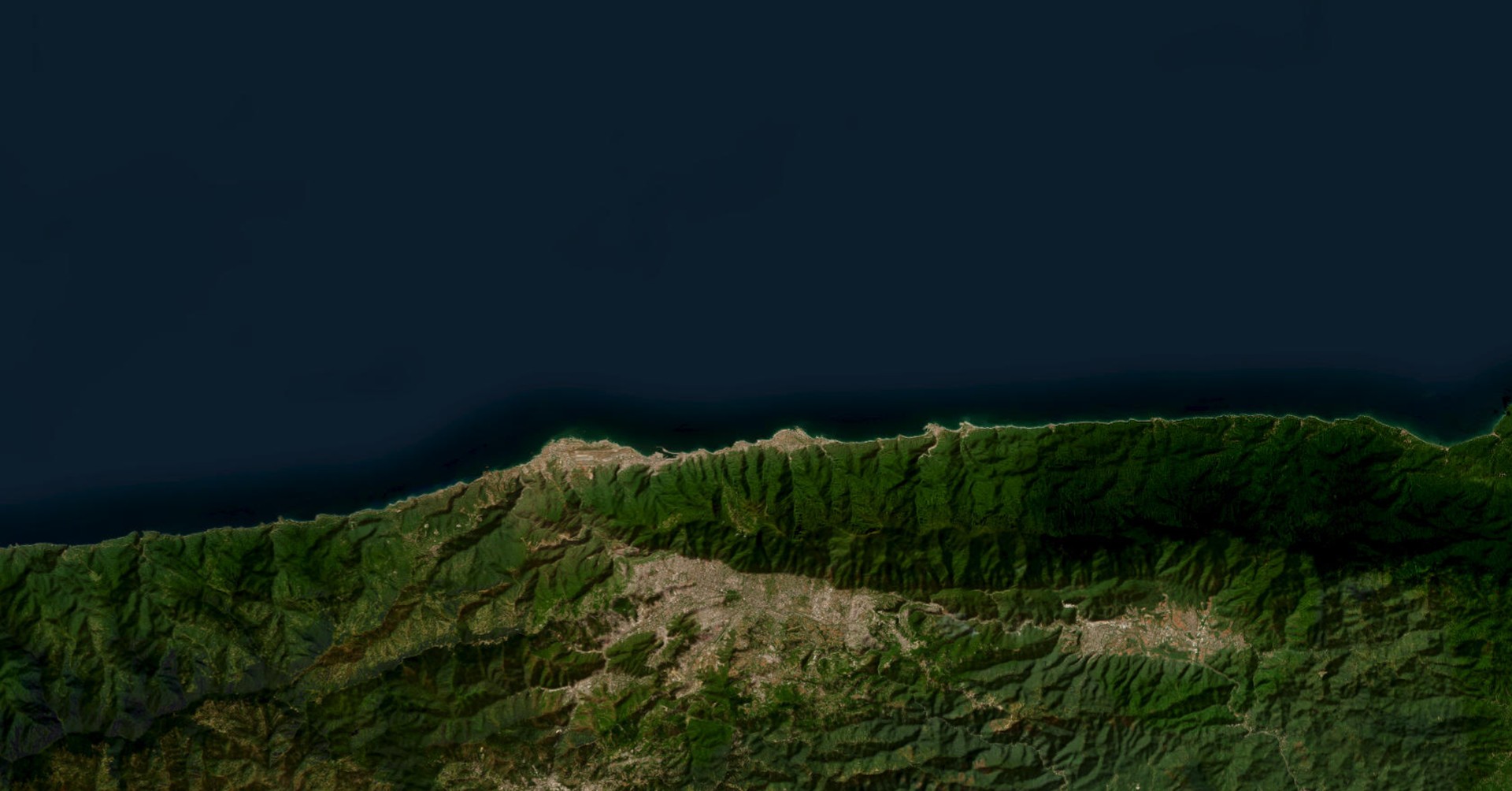
Seventy-four satellite-confirmed wildfires burned across eight countries this week. But the story isn't any single fire — it's the geographic pattern and what it signals.
Australia (22 fires) leads globally, with fires across Northern Territory and Western Australia — the tail end of the southern hemisphere fire season that's stretching later than normal.
Laos (19 fires) continues the Southeast Asian burning pattern driven by agricultural clearing and dry season conditions. This is the second consecutive week with significant Laotian fire activity.
India (5 fires) is an emerging concern as pre-monsoon heat combines with agricultural burning.
Russia (4 fires), United States (4 fires), Myanmar (3), Mexico (1), Vietnam (1), China (1) round out a truly global fire map.
The US fires, concentrated in the Great Plains, are accompanied by fire weather warnings across the Central and Southern High Plains with 3.65 million people and $439 billion in infrastructure in the advisory zone. Remember: the Western US snowpack crisis — the worst in 40 years — means the North American fire season hasn't truly started yet.
DisasterAWARE's wildfire intelligence tracks not just active fires but the complete cascade: satellite detection, fire perimeters, smoke trajectories, air quality, PSPS power shutoffs, and evacuation zones. When fires burn on every continent simultaneously, that cascade capability is what separates awareness from action.
This week's 22 combat events span four distinct theaters — the widest geographic spread of active conflict in recent weeks:
Middle East (Gaza, Lebanon, Iran)
Eastern Europe (Ukraine → Russia)
West Africa (Nigeria, Sudan)
South Asia (Pakistan)
For organizations with global operations, the implication is clear: risk isn't concentrated in one region anymore. DisasterAWARE's exposure assessments — calculated automatically for each event — quantify the scale across all four theaters simultaneously.
An active shooter incident at Ahmet Koyuncu Vocational and Technical Anatolian High School in Siverek District, Sanliurfa Province resulted in 1 fatality and 16 wounded on April 14. DisasterAWARE tracked this event in real time, providing location data and impact assessment to subscribers monitoring the region.
Active shooter and terrorism events are increasingly part of the multi-hazard risk picture that organizations must monitor alongside natural disasters — particularly for travel risk management and duty-of-care obligations.
Afghanistan's compound disaster continues to deepen. Flooding has killed at least 77 people over the past two weeks, with 7.5 million people and $12.7 billion in infrastructure in affected areas. Simultaneously, the UN World Food Programme reports 17.4 million Afghans face famine-level food insecurity — driven by economic collapse, mass returns from Iran and Pakistan, and severe funding cuts.
This convergence — acute climate disaster hitting a population already at the edge of survival — is the kind of compound risk that single-hazard monitoring simply cannot capture. DisasterAWARE tracks both natural disasters and humanitarian crises on a unified platform, connecting flood data with food security indicators for organizations that need the full picture.
Fourteen volcanoes maintained eruption or elevated activity levels this week across 7 countries. Taal Volcano (Philippines) remains the most significant from a risk perspective: located just 50 km south of Metro Manila — a megacity of 14 million people with a history of catastrophic eruptions.
Philippines: Mayon, Kanlaon, Taal | Guatemala: Fuego, Santa Maria | Indonesia: Semeru, Ibu, Dukono, Lewotobi | Ecuador: Reventador, Sangay | Peru: Sabancaya | Japan: Aira | United States: Kilauea
The most important pattern this week connects three seemingly separate hazard types into a single systemic risk:
Six drought emergencies are active simultaneously: Northwestern US, Western US, Southern US, Northeastern US (all four regions), Europe, and the Horn of Africa (Somalia, Ethiopia, Kenya).
Extreme heat warnings are active in Mexico, Sri Lanka, and Vietnam.
Seventy-four wildfires are burning globally.
This isn't coincidence — it's mechanism. Drought dries the fuel load. Heat lowers ignition thresholds. Wind spreads what starts. The fact that all three conditions are active across multiple continents simultaneously, in early-to-mid April, before the Northern Hemisphere fire season peaks, is the kind of systemic indicator that demands attention now — not in August when the fires are already burning.
When everything happens at once — a typhoon, 74 wildfires, four conflict zones, a compound disaster, a school shooting, 14 volcanoes, six droughts, and extreme heat — the question isn't whether your organization will be affected. It's whether you'll see it in minutes or learn about it from the news.
DisasterAWARE tracked 139 verified hazard events this week across every continent and every hazard domain. For each event: automated exposure assessment, population and capital impact quantification, and real-time alerting against your defined areas of interest. No single analyst could monitor this breadth. No single-hazard tool could connect these dots.
That's what multi-domain risk intelligence means in practice — not in theory.
See this week's events in real time:
This brief covers verified hazard activity from April 4 to April 14, 2026. Only events with confirmed or ongoing impact are included. Data sources: DisasterAWARE platform, USGS, NWS, JTWC, NASA FIRMS, volcanic observatory networks, ECHO, UN-WFP. Analysis powered by DisasterAWARE.


-min.png)


.png)


.png)


Decision-ready intelligence for understanding what's happening, what is impacted, and what to do next. Global hazard, severe weather, catastrophe, and physical risk intelligence trusted by governments, enterprises, insurers, humanitarian organizations, and technology platforms worldwide.
Request DemoContact Us