

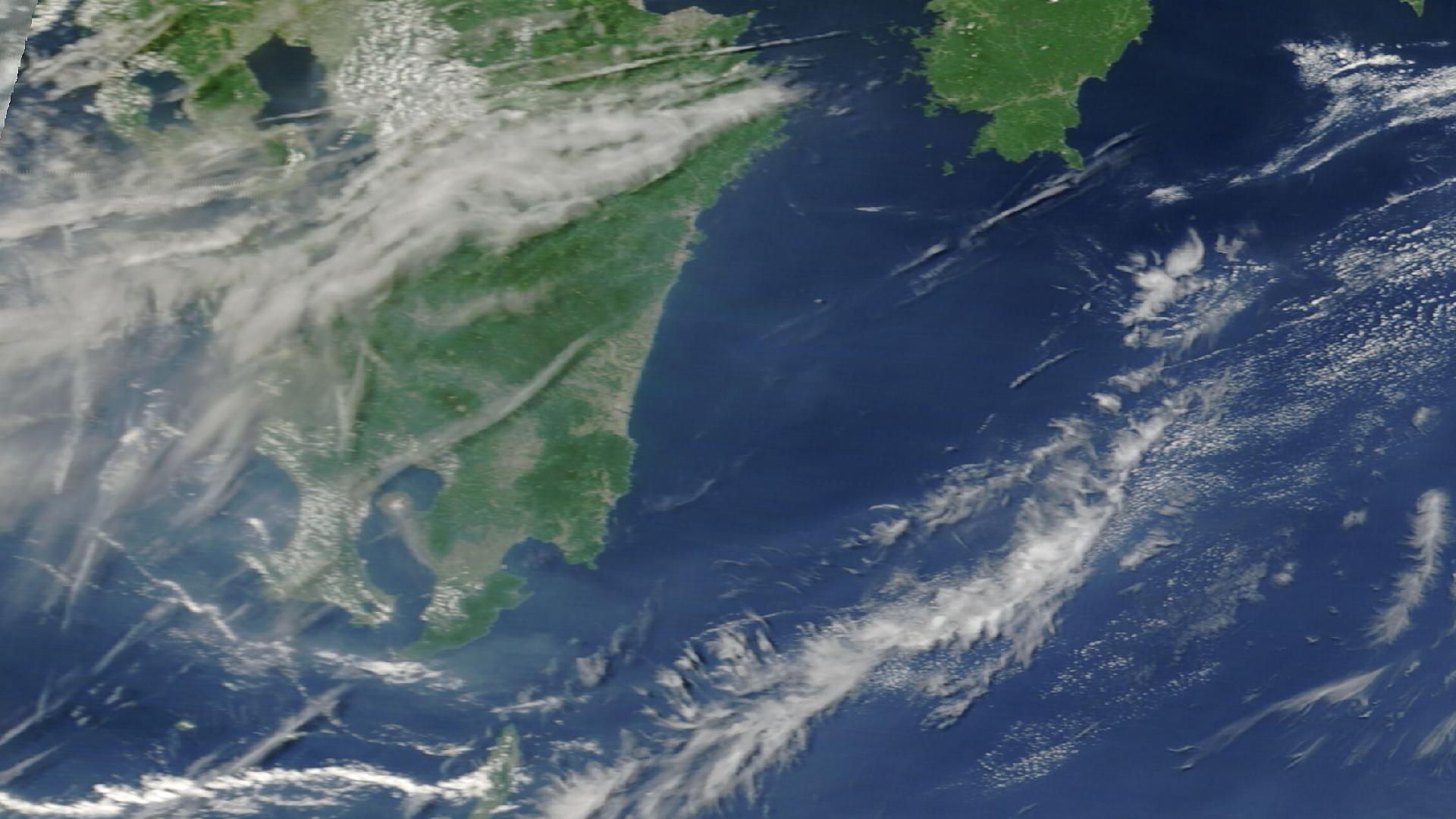
From March 10–15, 2026, a slow-moving Kona low stalled northwest of the Hawaiian Islands, unleashing six days of torrential rain, 135 mph wind gusts, and catastrophic flooding that struck every major island in the chain. The National Weather Service issued 166 Flash Flood Warnings and 149 Flood Advisories across the state. Ninety-six USGS stream gauges recorded significant water level surges. Honolulu shattered a rainfall record that had stood for 75 years. And on Maui — still recovering from the devastating 2023 wildfire — entire roads collapsed, homes were swept into rivers, and communities were cut off for days.
The map below shows all 166 NWS Flash Flood Warnings, 96 USGS stream gauge readings with hydrograph sparklines, and 32 local storm reports across the Hawaiian Islands. Click any marker or polygon to view details — including gauge peak stages and the dramatic rise and fall of water levels during the storm.
Map data: NWS flash flood warnings, USGS stream gauge readings, and local storm reports. Visualization powered by DisasterAWARE.
The Kona low didn't just bring heavy rain — it shattered records at every official climate monitoring station in Hawaii. On March 13 alone, Honolulu recorded 5.51 inches, obliterating the daily record of 3.33 inches that had stood since 1951 — 75 years. Kahului on Maui recorded 7.40 inches, surpassing not just the daily record but the station's all-time single-day rainfall record of 6.40 inches set in December 2017.
One meteorologist described it as "probably the wettest week on record since 1980." Five-day rainfall accumulations told an even more staggering story: the southwest slopes of Haleakala on Maui received up to 46 inches of rain — nearly four feet — while Schofield Barracks on Oahu received over 19 inches and Big Island gauges recorded up to 25 inches.
One of the most telling datasets from this event comes from the USGS stream gauge network. All 96 gauges across the Hawaiian Islands recorded significant water level changes, with many reaching extreme surge levels. The interactive map above includes hydrograph sparklines for each gauge — click any marker to see the full time series.
The Wahiawa Reservoir reading was the most alarming: at 82.8 feet, with the spillway at 80 feet and the critical failure crest at 90 feet, officials issued "prepare to evacuate" warnings for residents in Haleiwa and Waialua — an area encompassing 2,492 people, two schools, a fire station, and 865 land parcels. Governor Josh Green called the dam situation his "biggest concern" during the storm.
According to the Hawaii Statewide SitRep, the Kehalani Retention Basin on Maui also reached unprecedented levels — the dam had never filled that high — and the owner requested emergency pumps to lower the water level. The Waikamoi Dam on Maui was overtopped by 5 feet, though as the only concrete arch dam in the state, it was designed for such conditions.
The Kona low began affecting the state on Tuesday, March 10, with rain and wind hitting Kauai first. Governor Josh Green issued an emergency proclamation the same day — before the worst arrived. Maui Mayor Richard Bissen signed a county emergency proclamation enabling access to state and federal assistance.
Even the early rainfall broke records: Lihue recorded 1.82 inches on March 10, more than doubling the daily record of 0.80 inches (2021). As the NWS warned of "flash flooding, damaging winds, and strong to severe thunderstorms across the island chain," all four counties activated their emergency operations centers.
Flash Flood Watches expanded across all islands. High Wind Warnings and Winter Storm Warnings were issued for Big Island summits above 12,000 feet, where blizzard conditions and up to 20 inches of snow were forecast. The storm's full fury hadn't hit yet, but hazards were already mounting.
Friday the 13th lived up to its reputation. Public and charter schools, state offices, and judiciary operations closed statewide. This was the day Honolulu's 75-year-old rainfall record fell.
The impacts were immediate and severe:
The H-3 Freeway closed. Skyline rail service was suspended. The Wahiawa Wastewater Treatment Plant exceeded capacity, spilling into Lake Wilson. A separate wastewater overflow sent raw sewage flooding a residential lane near Kailua Beach Park.
Saturday brought the storm's heaviest rainfall to Maui and the Big Island. Kahului recorded another 5.82 inches. Hilo shattered its daily record with 5.60 inches. More than three feet of rain fell on the summit of Haleakala in just two days.
South Kihei Road collapsed. A massive sinkhole opened in front of Kamaole Beach Park II, swallowing a pedestrian crossing sign, exposing pipes, and toppling a utility pole. Broken sewer and water lines left approximately 200 residences without service. Maui County Deputy Administrator Kono Davis described the challenge: "It's a real tricky one because we have power lines in the area. We have different utilities." He added: "We are taxed. We are at the end of our staffing limits right now, but we are pushing through."
In Kihei, residents described scenes of chaos. Daniel Baralt, a 20-year South Maui resident, told reporters: "It's just total chaos. There was so much force that it just took the cars and just played with them like toys." He watched water move a 40-foot storage container "like a little toy boat." Kalama Park became a "maroon-brown pond." Mud over one foot deep covered the Haleakala Gardens parking lot.
In Wailuku, an elderly couple lost everything. Tom and Carrie Bashaw, both nearly 80, had been building their dream home at the top of Mokuhau Road since 2020 — situated 75 feet from Iao Stream and 45 feet above it. Floodwaters eroded the rocks beneath the structure, and over four hours, the raging water consumed approximately 100 feet of their property. "The whole back half of the house was gone. Bedrooms, living room," Tom said. Carrie added: "Everything's gone."
Dozens were stranded in Hana when the highway became impassable in both directions, cutting off the remote East Maui community.
Lahaina — still rebuilding from the 2023 wildfire — was hit with severe flooding as sediment washed down from mauka areas where reconstruction had barely begun. Evacuation warnings were issued for parts of the town.
On the Big Island, Highway 11 became what witnesses described as "a raging river," cutting off the communities of Pahala and Naalehu. Residents in Ka'u reported the worst flooding in 20 years. Wind gusts exceeded 100 mph on summits, with blizzard conditions and up to 20 inches of snow above 12,000 feet.
The Hawaii National Guard rescued 24 civilians overnight on the Big Island. Hawaii Fire Department crews rescued 18 more from flooded homes and stranded vehicles. Twelve patients were transported via air ambulance during the event. By Sunday evening, all 24 emergency shelters had served their purpose, sheltering more than 350 people — but tens of thousands remained without power.
The State Department of Transportation's preliminary damage assessment: $23+ million for highways alone — $14 million on Oahu, $7 million on Maui, $2 million on the Big Island. But the true infrastructure toll went far beyond roads:
The tourism industry took an immediate hit:
Individual Maui hotel properties estimated $250,000 to $500,000 in lost March revenue each. The slowdown in forward bookings arrived at the worst possible time — the start of spring break season.
On Oahu, Waimanalo Country Farms reported the "most severe damage since the farm's founding in 1948" — 78 years of operation.
The March 2026 Kona Low illustrates the cascading complexity of large-scale natural disasters. It wasn't just flooding — it was simultaneous flash floods on every island, dam safety crises, infrastructure failures, wastewater spills, road collapses, power outages affecting 130,000 customers, and flight disruptions stranding travelers. All happening at once, evolving hour by hour.
For organizations with operations, assets, or people in affected areas — insurers, supply chain managers, hospitality companies, government agencies — the questions come fast: Which locations are impacted? How severe is it? Is our exposure growing? What's the forecast?
DisasterAWARE is purpose-built for exactly this kind of event. The platform continuously monitors global natural disaster, catastrophe, severe weather, and climate risk data from authoritative agencies — including NWS, USGS, NOAA, and dozens of international sources — to provide real-time visibility as events unfold.
For photos and video from the event, see coverage from local news outlets:


-min.png)


.png)


.png)


Decision-ready intelligence for understanding what's happening, what is impacted, and what to do next. Global hazard, severe weather, catastrophe, and physical risk intelligence trusted by governments, enterprises, insurers, humanitarian organizations, and technology platforms worldwide.
Request DemoContact Us