

Earthquakes cause an estimated $14.7 billion in annual losses in the US alone, with global impacts reaching up to $300 billion in a single year. DisasterAWARE® Enterprise provides real-time earthquake monitoring and risk evaluation, delivering comprehensive hazard intelligence to enhance preparedness, accelerate response, and reduce exposure to earthquake-driven disasters.
DisasterAWARE® Enterprise automatically generates Situational Awareness reports for hazardous earthquakes, continuously updated with USGS data including magnitude, location, depth, and intensity. Each report assesses potentially affected populations, infrastructure, and critical facilities. For disaster-level events, our response team provides verified updates from international aid organizations and government agencies.
DisasterAWARE® Enterprise classifies earthquake severity using scientific measurements and impact assessments:
For earthquakes ≥5.5, severity classification is refined through the USGS PAGER system, which estimates human and economic impact based on population exposure and infrastructure vulnerability.
SmartAlert™ determines notification zones using earthquake depth, geological factors, and Modified Mercalli Intensity (MMI). Exposure areas are defined based on USGS Shaking Intensity Maps:
This detailed segmentation supports faster, more informed decisions for managing operations and coordinating response actions.
DisasterAWARE® Enterprise provides specialized data layers for comprehensive earthquake monitoring and analysis.
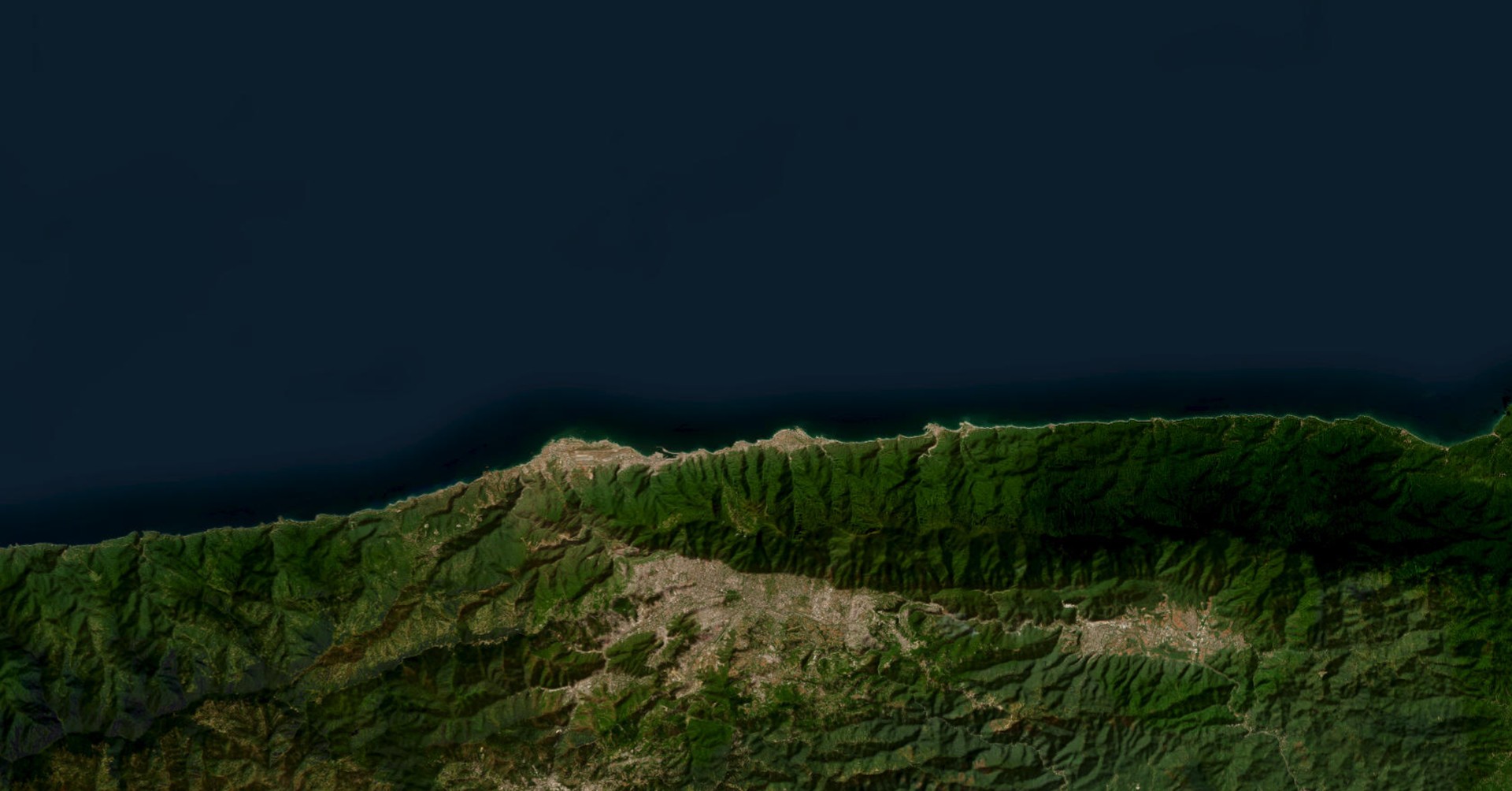
Users can access SmartAlert™ Notification Areas, Exposure Areas highlighting zones of severe/strong/moderate shaking, Recent Earthquakes tracking, and Active Shaking Intensity Maps visualizing ground movement.
The platform offers Earthquake Intensity Zones Maps showing probable shaking intensities within 50-year return periods, and Tectonic Plate Boundaries displaying underlying geological structures.
Historical Major Earthquake data provides crucial context of significant seismic events throughout recorded human history, enhancing risk assessment capabilities.
Organizations can integrate asset data via ArcGIS services or secure API connections. DisasterAWARE allows for:
Asset Exposure Reports provide detailed summaries of affected assets, including types, exposure levels, and user-defined metrics such as employee counts or financial impact.
DisasterAWARE's Data as a Service (DaaS) provides REST APIs for organizations preferring direct data access. Users can retrieve:
DisasterAWARE supports event-driven updates for integration into internal dashboards and risk analysis tools, and enables custom solutions leveraging USGS data to estimate precise impacts at specific locations—functioning as a powerful geospatial intelligence engine delivering critical earthquake data directly into existing systems.


-min.png)

.png)


.png)


Decision-ready intelligence for understanding what's happening, what is impacted, and what to do next. Global hazard, severe weather, catastrophe, and physical risk intelligence trusted by governments, enterprises, insurers, humanitarian organizations, and technology platforms worldwide.
Request DemoContact Us