

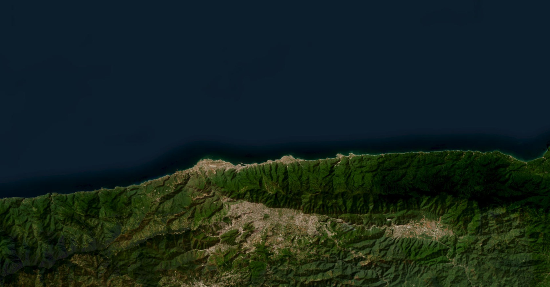
Tsunamis are rare but high-impact events that can cause massive destruction to coastal areas. Between 1998–2017, they caused $280 billion in global damage. DisasterAWARE offers global tsunami monitoring, combining real-time data from authoritative sources with decision support tools to help governments, NGOs, and businesses act swiftly, protect assets, and save lives.
DisasterAWARE provides travel time maps for each tsunami event, showing estimated wave arrival using contour lines. These maps support early response planning by identifying which areas may be impacted and when. During large-scale disasters, curated reports from aid agencies and governments are added to give context on humanitarian impact and response coordination.
Tsunami events are categorized into four severity levels based on live data:
These alerts align with global standards and are integrated into DisasterAWARE’s automated monitoring and alert system.
DisasterAWARE automatically maps exposure areas—coastal zones potentially hit within 3 hours of an event—using a 10 km offshore and 1 km inland buffer. SmartAlert geographies trigger alerts based on pre-set zones from warning centers or analyst-defined custom zones. Multiple alerts can be generated for a single tsunami event, targeting regions like Hawaii, Alaska, or the Caribbean based on risk proximity.
To strengthen monitoring and analysis, DisasterAWARE offers advanced tsunami data layers:

All these tools support immediate response and proactive planning.

The Natural Disaster API provides real-time tsunami data for seamless integration into your systems. It includes source agency alerts plus enhanced data like exposure areas, wave arrival estimates, and custom analytics. Whether you need to power internal alerts, reports, or dashboards, the DaaS API delivers reliable, up-to-date intelligence to support better decision-making.
DisasterAWARE helps you respond smarter and faster to tsunami threats. From early warning to strategic response, you get the tools needed to protect people, infrastructure, and operations—everywhere.


-min.png)


.png)


.png)


Decision-ready intelligence for understanding what's happening, what is impacted, and what to do next. Global hazard, severe weather, catastrophe, and physical risk intelligence trusted by governments, enterprises, insurers, humanitarian organizations, and technology platforms worldwide.
Request DemoContact Us