

DisasterAWARE Weekly Intelligence Brief — April 12 to April 22, 2026
This week, DisasterAWARE is tracking 172 satellite-confirmed wildfires burning across more than 25 countries — from Florida and Georgia to Guinea and Myanmar, from Russia's Far East to Australia's southern coast. But fire isn't the week's deadliest hazard. In Bangladesh, a measles epidemic has killed at least 118 children since mid-March, with seven more dying in the last 24 hours alone. The Democratic Republic of the Congo is fighting three simultaneous epidemics — mpox, cholera, and measles — with a combined total of more than 67,000 cases and nearly 950 deaths. Thirteen volcanoes are actively erupting across seven countries. A sequence of three earthquakes struck off northeastern Japan within 24 hours. And armed conflict continues across five theaters, from Gaza to Ukraine to Sudan.
When the hazard landscape is this broad and this deep, the organizations that see everything — simultaneously, continuously — are the ones that act instead of react.
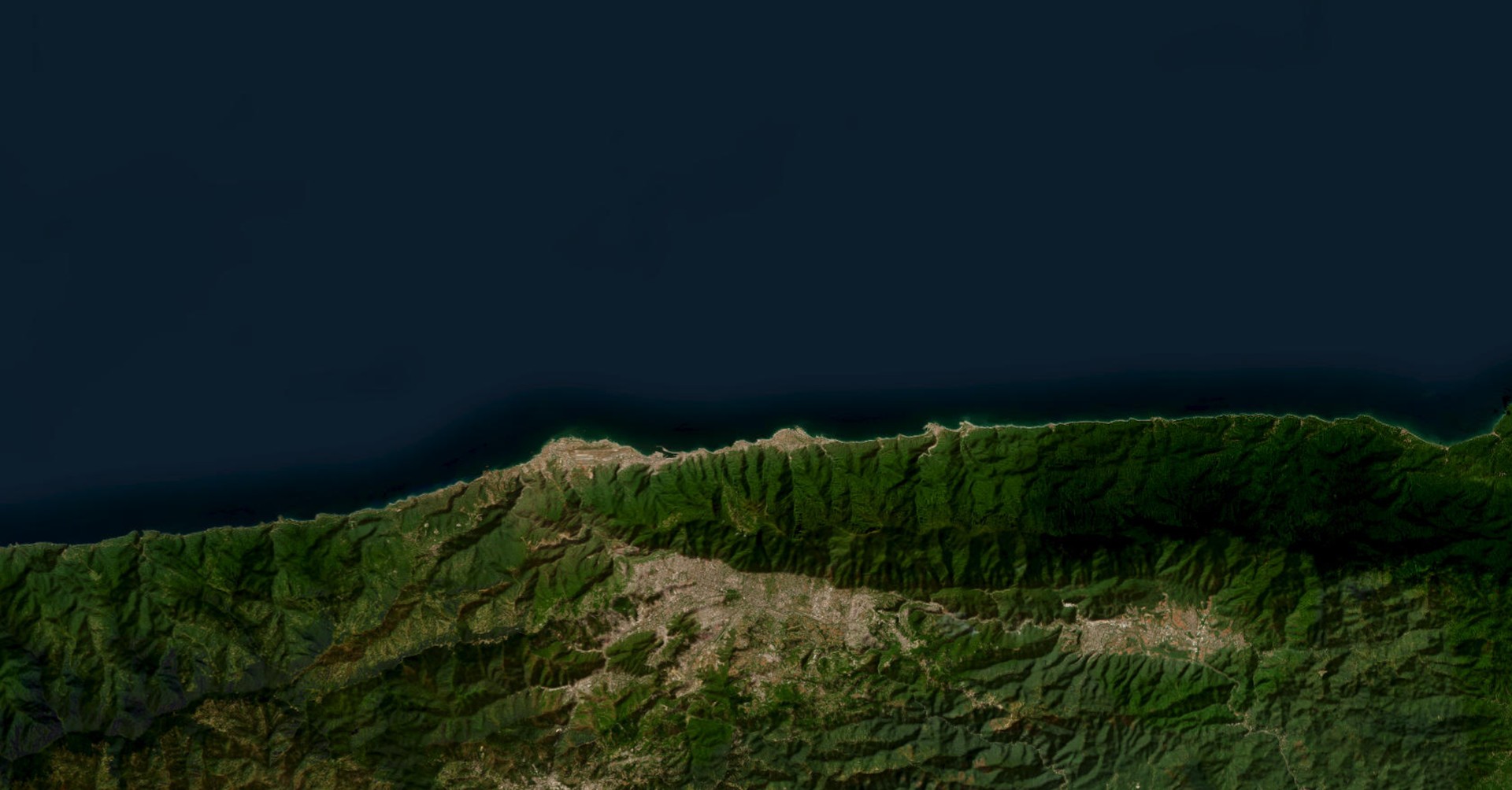
DisasterAWARE is tracking approximately 172 satellite-confirmed wildfires this week — fires detected by satellite thermal sensors and verified through multiple observations. This week also marks the launch of DisasterAWARE's enhanced wildfire detection capability, which significantly expands our satellite-based fire monitoring coverage globally. What makes this week's fire picture notable is the geographic spread: fires are burning simultaneously in places that rarely share a fire map.
United States (~40 fires) — The most surprising story is where these fires are burning. Florida has four active fires across Clay, Putnam, Levy, Broward, and Walton counties. Georgia has three, including a several-thousand-acre fire in Brantley County with 1,870 people and $155 million in infrastructure in the affected area. But fires extend well beyond the Southeast: Minnesota (3), Wisconsin (2), Iowa (3), Montana (3), Michigan, Indiana, Mississippi, Arkansas, Tennessee, Nebraska, and Arizona all have active fires. This is not the typical Western US fire season pattern — it's a continental-scale event driven by dry conditions and seasonal heat building across the eastern two-thirds of the country.
West Africa (Guinea: 10+, Sierra Leone: 3) — Guinea has more than 10 active fires, many at WARNING severity, burning across forested landscapes near developed areas. The Coyah fire covers approximately 1,300 acres near the wildland-urban interface with 3,650 people in the affected zone. These fires are occurring during West Africa's dry season and reflect a pattern of increasing fire activity in the region's forested and grassland areas.
Australia (~29 fires) — Fire activity spans Western Australia, New South Wales, Victoria, and Tasmania. Notable fires include incidents in Collie (Western Australia), Lithgow and Oberon (New South Wales), and multiple fires across southern Victoria. The Southern Hemisphere fire season is winding down, but these late-season fires indicate continued dry conditions.
Russia (~19 fires) — Fires stretch from Kaliningrad on the Baltic to Primorsky Krai on the Pacific — a distance of roughly 9,000 km. The Krasnoyarsk fire in Siberia and multiple fires near Russia's western borders reflect the onset of the Northern Hemisphere burning season.
Southeast Asia (Myanmar: 7+, Laos: 10) — Agricultural burning and dry season conditions continue to drive fire activity across the region.
Also burning: India (16+), Venezuela (6), China (3), Nicaragua (3), Panama (1), Malaysia (1), Nepal/India border (1), North Korea (1), and others.
For each of these fires, DisasterAWARE calculates automated exposure assessments — population count, household count, and infrastructure value within the affected area — giving risk managers an immediate sense of which fires matter to their operations. The Brantley County, Georgia fire, for example, puts $155 million in infrastructure at risk. The Bolívar, Venezuela fire affects 28,500 people and $2.65 billion in capital. These numbers update as fire perimeters change, turning a point on a map into actionable intelligence for decisions about facility protection, supply chain rerouting, or employee safety notifications.
For organizations with global operations, the implication is clear: fire risk doesn't respect seasons or hemispheres. When 25 countries have active fires simultaneously, monitoring a single region means missing the full picture.
While wildfires and conflict dominate visual media, this week's deadliest hazards are biological — and they're killing the most vulnerable populations at an alarming rate.
Bangladesh is experiencing its worst measles outbreak in years. Since March 15, at least 118 children have died nationwide from suspected measles. In the last 24 hours alone, seven additional child deaths and at least 1,282 new suspected cases were reported. A total of 5,940 children have been hospitalized with measles symptoms, including 1,099 laboratory-confirmed cases.
Dhaka Division has the highest number of confirmed cases. An emergency measles-rubella vaccination campaign — supported by UNICEF, WHO, GAVI, and the IFRC — is underway across 30 upazilas (sub-districts) nationwide. The scale and acceleration of this outbreak make it one of the most significant pediatric health emergencies currently active globally.
The Democratic Republic of the Congo is managing what may be the most complex disease situation on the planet. Three separate epidemics are running concurrently:
The combined toll — more than 67,000 cases and nearly 950 deaths across three diseases — is compounded by internal displacement, limited healthcare access, unsafe water, and malnutrition. For organizations with personnel or supply chains touching Central Africa, this is a risk environment where multiple biological threats operate simultaneously. DisasterAWARE tracks disease outbreaks alongside natural hazards and conflict on the same platform — so a logistics company monitoring its DRC operations sees the cholera outbreak, the wildfire in Haut-Lomami province, and the ongoing conflict in eastern provinces in a single view, not three separate systems.
Dengue in Samoa has reached 17,577 clinically diagnosed cases and 5,170 lab-confirmed cases since January 2025, with 9 deaths — a massive burden for a nation of roughly 200,000 people.
Cholera across Sudan and South Sudan has recorded 72,716 cases and 1,830 deaths, with conflict-affected areas facing the greatest challenges in water, sanitation, and health access.
Dengue in New Caledonia has seen at least 340 cases since January 2026 with sustained local transmission.
Thirteen volcanoes maintained eruption alerts or elevated activity this week — a concentration of volcanic activity across the Pacific Ring of Fire and Central America:
Philippines — Taal, Mayon, Kanlaon. Taal remains the most significant from a proximity-to-population standpoint: located just 50 km south of Metro Manila, a megacity of more than 14 million people. Mayon (162,000 people in its hazard zone) and Kanlaon (82,400 people) continue producing ash emissions monitored by VAAC advisories. For aviation and shipping operations in the region, DisasterAWARE correlates VAAC ash advisory data with flight corridors and port locations — three volcanoes producing ash simultaneously in a country with some of the busiest air and sea routes in Southeast Asia is an operational concern, not just a geological one.
Indonesia — Semeru, Lewotobi, Dukono, Ibu. Four simultaneously active volcanoes across Java and the Maluku Islands, with Semeru's proximity to populated areas of East Java the primary concern.
Guatemala — Fuego, Santa Maria. Fuego alone has 79,300 people and $618 million in infrastructure within its hazard area. Santa Maria's zone encompasses 149,000 people and $1.2 billion in capital.
Ecuador — Reventador, Sangay. Both maintaining ash emission activity.
Japan — Aira (Sakurajima). Ongoing activity near Kagoshima with 31,200 people in the affected zone.
United States — Kilauea. Elevated activity continues with 44,700 people and $3.9 billion in infrastructure in the monitoring zone.
Between April 21 and 22, three earthquakes of magnitude 5.0 or greater struck off the coast of northeastern Japan in rapid succession:
None of these individual earthquakes caused significant damage — they occurred offshore at moderate depths. But the clustering pattern is worth monitoring. The Japan Trench subduction zone off northeastern Honshu is one of the most seismically active plate boundaries on Earth, and earthquake sequences in this region can precede larger events. The 2011 Tohoku earthquake (M9.1) was preceded by a sequence of foreshocks in the days before the mainshock. DisasterAWARE customers with assets or personnel in the region receive alerts for each event in the sequence — and more importantly, the platform's historical context helps distinguish routine seismicity from patterns that warrant closer attention or pre-positioning of response resources.
Additional significant earthquakes this week: M5.7 in the Balleny Islands region (Antarctica), M5.5 near Pante Makasar (Timor Leste), and M5.0 near Luganville (Vanuatu).
This week's 14 combat events span five distinct theaters:
Gaza Strip — Airstrikes continue on Jabalia Town and central Gaza, with ongoing civilian casualties.
Lebanon — An airstrike in Bekaa Governorate killed at least 1 person. A separate explosive device incident in the South Governorate wounded 9 and killed 1. Response support operations continue across Lebanon, where cumulative conflict impact has reached 9,228 affected (2,167 killed, 7,061 injured).
Ukraine — Drone and rocket attacks hit multiple cities: Zaporizhzhia (33 casualties including 1 dead, 32 wounded), Bohodukhiv and Sumy (Kharkiv and Sumy oblasts), and Slovyansk (Donetsk Oblast). The war's geographic reach continues expanding: a drone strike hit Syzran in Samara Oblast, Russia — approximately 850 km from the nearest frontline — killing 2 and wounding 11. Strikes this deep into Russian territory represent a significant escalation in the conflict's operational depth.
Sudan — Combat continues in El Fasher, with 114 fatalities reported. The intersection of armed conflict, famine, and cholera makes Sudan one of the most complex humanitarian emergencies in the world.
South Asia — Counter-terrorism operations in Bannu District (Khyber Pakhtunkhwa, Pakistan) resulted in 6 fatalities. An ambush in Ukhrul, Manipur (India) killed 2 and wounded 3.
Iran — Response support operations continue, with cumulative impact of 28,576 affected (2,076 killed, 26,500 injured).
An explosion in Thrissur, Kerala, India on April 21 killed 13 people. DisasterAWARE's AI for Humanity detection system identified and reported this event. Temple fireworks accidents are a recurring hazard in Kerala, where large-scale pyrotechnic displays during festival seasons have historically caused mass-casualty incidents.
Also this week: A bus crash in Malko Tarnovo, Bulgaria killed 2 and injured 16. A building fire in the Bronx, New York killed 2 and injured 11. An industrial explosion in Palghar, Maharashtra, India killed 2 and injured 4.
Ten countries are currently experiencing famine-level food insecurity:
The intersection of famine with conflict (Sudan, Nigeria, Yemen), disease (DRC, Sudan), and climate (Somalia, Ethiopia, Madagascar) illustrates why food security is a multi-hazard problem. Organizations operating in these regions — NGOs coordinating aid delivery, companies managing supply chains through conflict zones, insurers assessing sovereign risk — need to see all of these layers simultaneously. A cholera outbreak in a famine zone in an active conflict area isn't three separate problems; it's one compounding crisis, and DisasterAWARE presents it that way.
Brazil is experiencing an "Extremely Dangerous" heat wave — temperatures approximately 5°C above seasonal average persisting for more than five consecutive days across Santa Catarina, Rio Grande do Sul, Paraná, and Mato Grosso do Sul. Simultaneously, storm warnings are active across northern Brazil with rainfall rates of 30–60 mm/h and wind gusts of 60–100 km/h.
Mexico is reporting maximum temperatures of 40 to 45°C across Durango, Michoacán, and Guerrero, with concurrent storm activity producing 25–50 mm of rainfall across central and southern states.
This week's 242 verified hazard events across 12 hazard categories and every continent illustrate a fundamental reality: global risk doesn't take turns. Wildfires, disease outbreaks, volcanic eruptions, earthquakes, armed conflict, famine, and extreme weather operate simultaneously — and the connections between them (drought driving fire, conflict driving famine, displacement driving disease) mean that monitoring any single domain in isolation misses the interactions that create the worst outcomes.
DisasterAWARE tracks every hazard type on a unified platform, with automated exposure assessment, population and capital impact quantification, and real-time alerting against your defined areas of interest. When 172 fires burn across 25 countries while 13 volcanoes erupt and disease epidemics kill children in Bangladesh, the question isn't whether your operations are affected — it's whether you see all of it, or only the part that makes the news.
See this week's events in real time:
This brief covers verified hazard activity from April 12 to April 22, 2026. Only events with confirmed or ongoing impact are included — forecasts, watches, and advisories without materialized impact are excluded. Data sources: DisasterAWARE platform, USGS, NASA FIRMS, JTWC, NWS, VAAC network, WHO, UNICEF, UN-WFP, FEWS NET, ECHO, ASEAN ADINet, IPC. Analysis powered by DisasterAWARE.


-min.png)


.png)


.png)


Decision-ready intelligence for understanding what's happening, what is impacted, and what to do next. Global hazard, severe weather, catastrophe, and physical risk intelligence trusted by governments, enterprises, insurers, humanitarian organizations, and technology platforms worldwide.
Request DemoContact Us