



Every year, floods cause hundreds of billions of dollars in damage worldwide, disrupting communities, infrastructure, transportation, insurance portfolios, and supply chains. Yet despite decades of advances in forecasting and hydrologic modeling, one question remains surprisingly difficult to answer during an event: how deep is the water?
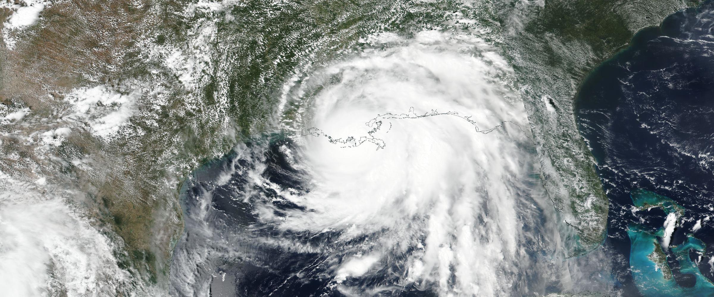
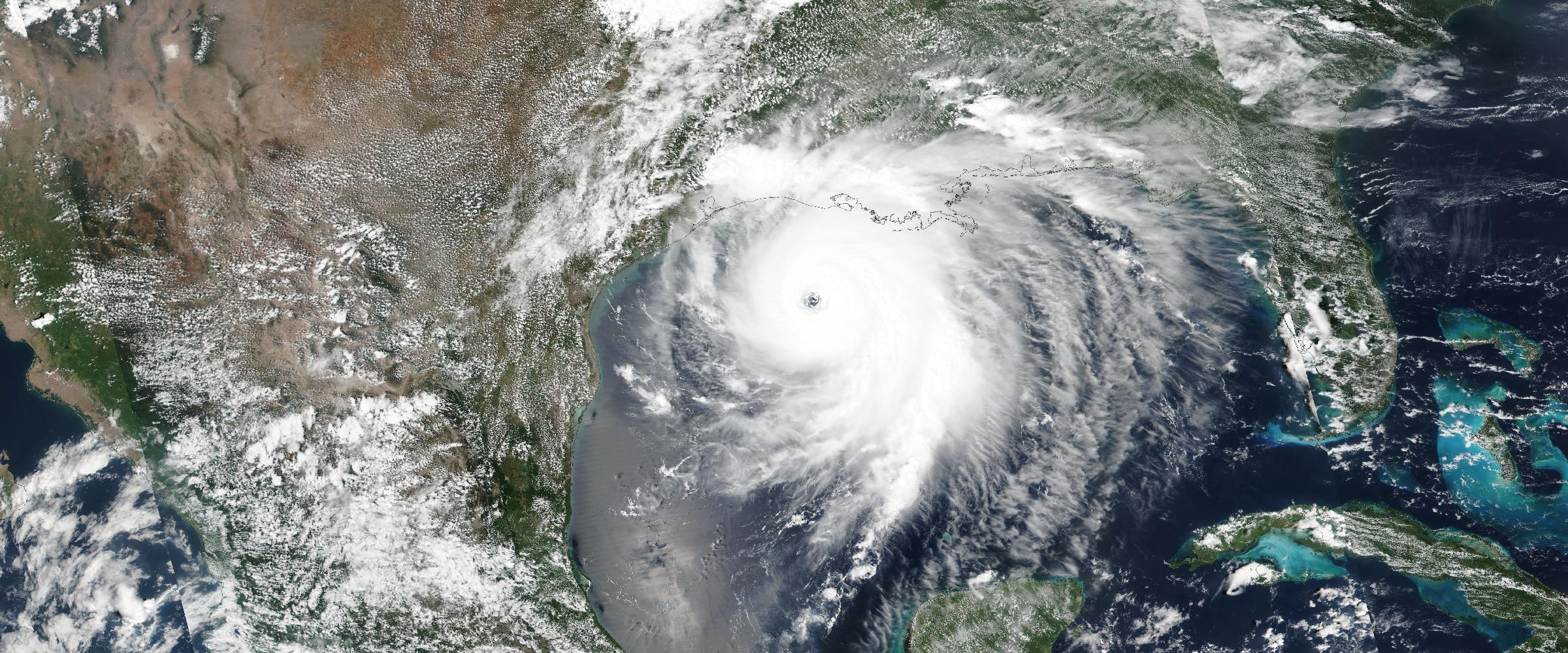
Banner: the lower Mississippi and its delta meeting the Gulf (NASA MODIS, August 10, 2026) — the most heavily gauged river system in America, where observation infrastructure turns flooding from guesswork into measurement.
Forecasts estimate where flooding may occur. Satellite imagery shows where water eventually appeared. But operational decisions require something different: organizations need to understand what is actually happening — not what might happen.
This is where observed flood intelligence becomes essential.
This is Part 1 of a two-part series on flood intelligence. Part 2 — Flood Depth vs. Flood Extent — goes deeper on why water depth changes operational decisions.
Many flood monitoring systems focus primarily on forecasts. Forecast guidance is invaluable before an event, but once flooding begins, decision makers need to transition from prediction to observation.
DisasterAWARE was designed around this principle. Rather than relying solely on forecast models, the platform continuously incorporates authoritative observations from federal agencies to understand how flood events are actually unfolding — the same detect-verify-assess loop we described in What Is Event Intelligence?, applied to the hazard that's hardest to measure.
This distinction matters for insurers, emergency managers, infrastructure operators, logistics providers, and organizations responsible for protecting people and assets.
Flood intelligence evolves as new observations become available. Rather than treating flood information as a single static dataset, DisasterAWARE delivers intelligence in two complementary phases.
Within minutes to hours after rivers begin exceeding flood stage, DisasterAWARE enriches flood events with:
This intelligence is derived from authoritative federal observations rather than forecast projections. Organizations gain situational awareness while response decisions are still being made.
Major flood events continue to evolve long after waters recede. Federal survey teams later collect high-water marks, storm tide measurements, and surveyed water elevations.
DisasterAWARE incorporates these authoritative observations to produce measured flood depth surfaces representing actual flood conditions. Rather than replacing earlier intelligence, these observations refine it. Customers gain both immediate operational awareness and authoritative post-event analytics.
See it live in DisasterAWARE
DisasterAWARE monitors 30+ hazard types worldwide in real time — verified, impact-assessed, and ready to act on.
Traditional flood alerts answer one question: will flooding occur?
Observed flood depth answers much more important questions:
Depth transforms flood monitoring into actionable business intelligence. (We explore this distinction fully in Part 2 of this series.)
One of the biggest challenges in flood analytics is trust. Organizations increasingly ask: where did this number come from?
DisasterAWARE emphasizes transparency. Flood intelligence is derived from authoritative federal observations, including:
Each flood product identifies the methodology supporting it. Customers know whether information represents observed measurements, modeled depth, measured depth, or fused intelligence.
Observed flood intelligence supports:
Insurance — Claims triage, portfolio monitoring, and catastrophe response. (See our full guide to hazard data for insurers.)
Supply Chain — Facility disruption, transportation impacts, supplier risk, and infrastructure protection.
Utilities — Substation monitoring and pipeline exposure.
Financial Services — Portfolio exposure, mortgage risk, and commercial real estate.
Forecasts estimate future conditions. Observed intelligence measures reality.
The combination of authoritative observations, flood depth, inundation extent, and operational impacts provides organizations with a far more complete understanding of flood events than alerts alone. Live flood events, tracked this way, are visible now on our flood intelligence hub — and available programmatically through the flood API.
As climate-driven flooding becomes increasingly frequent, observed intelligence is becoming an essential component of enterprise resilience.
What is observed flood intelligence? Observed flood intelligence measures what is actually happening during a flood — river stage from authoritative gauges, flood severity, inundation extent, and flood depth — rather than forecasting what might happen. It is derived from federal monitoring networks (USGS, NOAA, NWS, FEMA) and refined after major events with surveyed high-water marks.
How is it different from a flood forecast? Forecasts estimate future conditions before and early in an event. Observed intelligence takes over once flooding begins: actual measurements, updated as the event unfolds, then refined with survey-grade ground truth after waters recede.
What are the two phases of flood intelligence? Phase one is near real-time: within minutes to hours of rivers exceeding flood stage, events are enriched with observed stage, severity, extent, modeled depth, and impacts. Phase two is survey-grade: post-event high-water marks and storm-tide measurements produce measured flood depth surfaces for damage assessment and claims analysis.





































































-min.png)


.png)


.png)









Decision-ready intelligence for understanding what's happening, what is impacted, and what to do next. Global hazard, severe weather, catastrophe, and physical risk intelligence trusted by governments, enterprises, insurers, humanitarian organizations, and technology platforms worldwide.
Request DemoContact Us

