



The Missing Layer Between Weather Observations and Enterprise Decision-Making
We have more historical weather data than ever before. So why is it still so difficult to answer a simple question?
What actually happened?
Banner: The August 10, 2020 derecho sweeping across the Upper Midwest (NASA Aqua/MODIS via Worldview). One storm system — and thousands of separate wind reports, radar products, warnings, and damage surveys. The kind of fragmented evidence Historical Catastrophe Intelligence reconstructs into complete, verified events.
It's a question asked every day by insurance carriers investigating claims, banks evaluating physical risk, supply chain teams reviewing disruptions, business continuity leaders conducting after-action reviews, and governments preparing for the next disaster. Yet despite decades of investment in weather observations, satellites, radar, and forecasting systems, finding the answer often requires piecing together information from dozens of disconnected sources.
Historical weather data tells us what the atmosphere was doing. Enterprise organizations need to understand what the disaster was doing. Those are two very different things.
That distinction is giving rise to a new category of intelligence — Historical Catastrophe Intelligence.
Weather observations are among humanity's greatest scientific achievements.
Every day, thousands of weather stations, satellites, Doppler radars, river gauges, seismic sensors, ocean buoys, and aircraft collect billions of observations about our planet. These measurements power forecasts, climate research, emergency warnings, and scientific discovery. But they were never designed to answer enterprise questions.
Consider the types of questions organizations ask after a disaster:
Historical weather datasets rarely answer those questions directly. Instead, organizations must interpret observations, compare multiple databases, reconcile conflicting reports, and reconstruct events manually.
The weather exists. The intelligence does not.
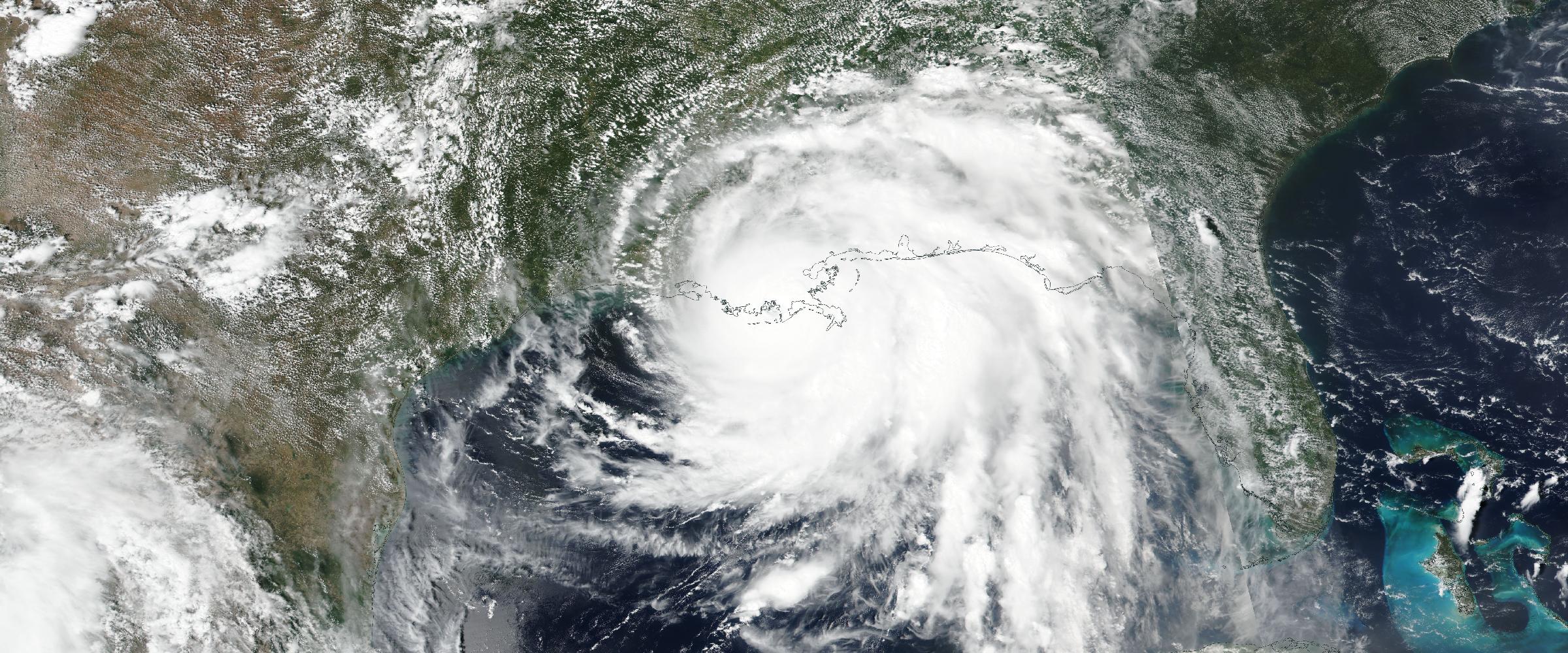
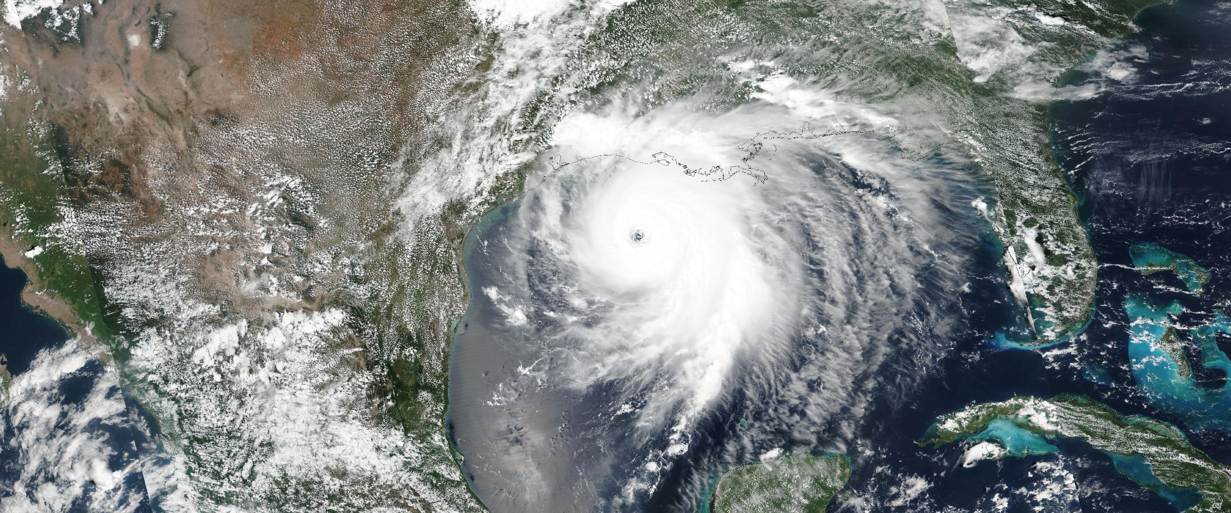
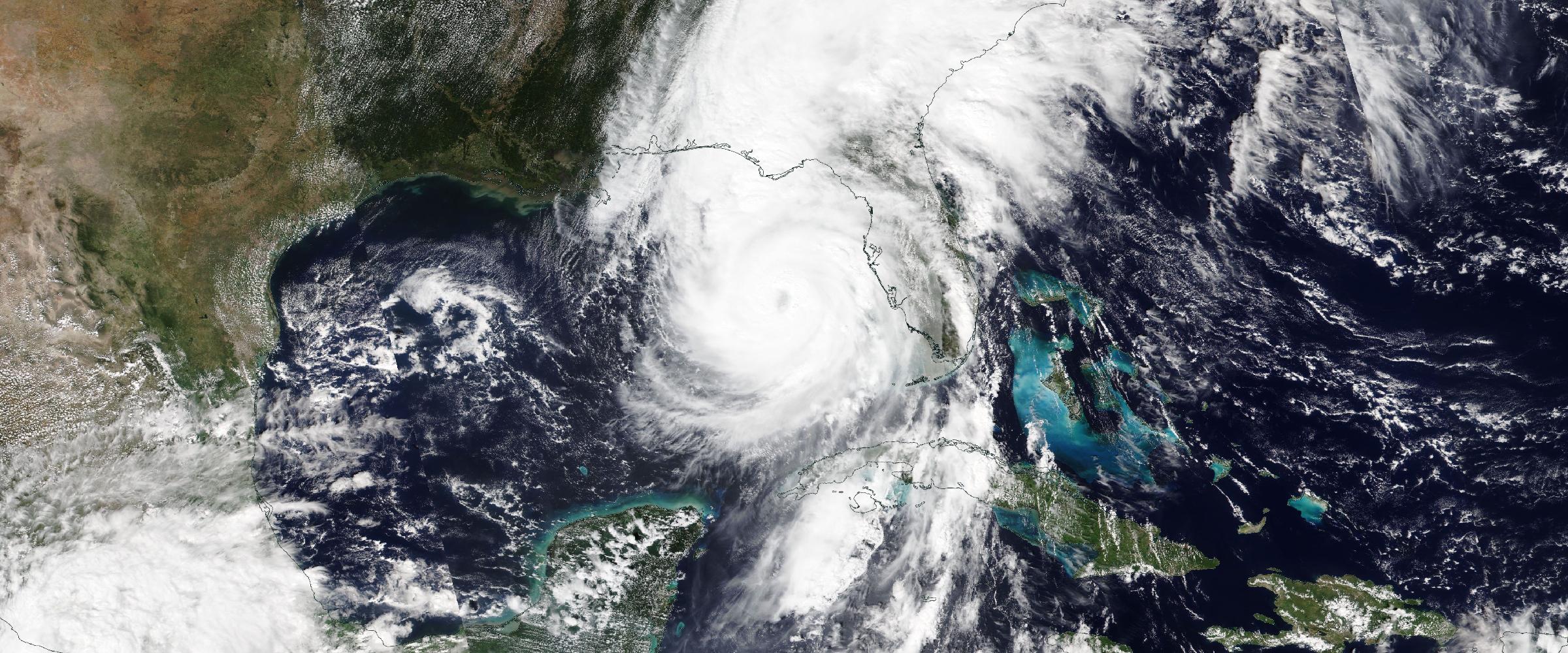
Imagine trying to describe Hurricane Ian using only a table of wind speeds. Or explaining the Camp Fire using only a satellite hotspot. Or analyzing a tornado outbreak using only warning polygons.
Each dataset contains valuable information. None tells the complete story. Every historic disaster generates an enormous amount of evidence.
A hurricane leaves behind advisory tracks, wind fields, central pressure, storm surge, rainfall, tornadoes, landfalls, and damage assessments.
A Severe Convective Storm produces tornado touchdowns, EF ratings, hail reports, wind observations, radar-derived hail swaths, damage surveys, warning polygons, and storm narratives.
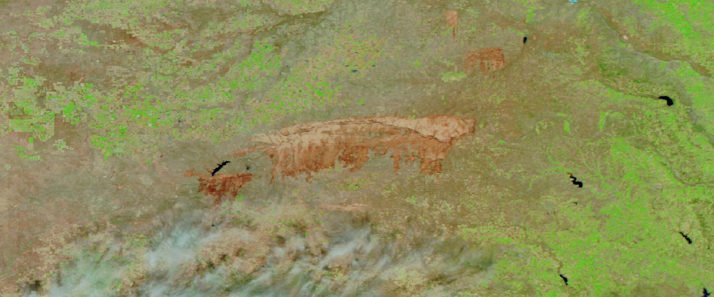
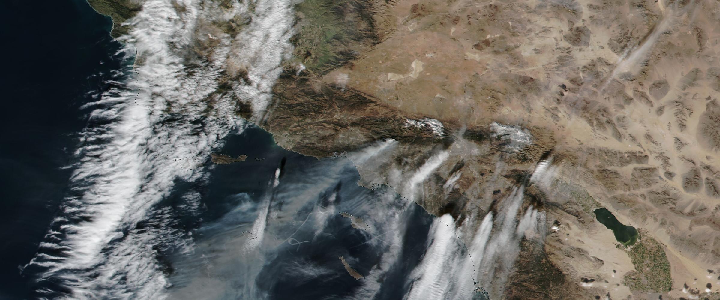
A wildfire generates satellite detections, fire progression, smoke plumes, air quality impacts, evacuation zones, burn perimeters, and incident reports.
An earthquake creates ground shaking, Peak Ground Acceleration, intensity contours, aftershocks, and damage assessments.
Every one of these observations tells part of the story. Historical Catastrophe Intelligence tells the entire story.
This distinction is important. Scientists often ask:
Enterprise organizations ask very different questions.
Insurance companies ask: Did this property actually experience verified two-inch hail?
Banks ask: Has this collateral location experienced multiple catastrophic floods during the past twenty years?
Supply chain leaders ask: Which suppliers were disrupted by this wildfire?
Business continuity teams ask: How did this disaster evolve, and when should we have activated our response plan?
Emergency managers ask: Which hazards actually occurred, and where were the greatest impacts?
Those questions require event reconstruction — not simply weather observations.
See the reconstructed record
Decades of verified historical disasters — hurricanes, severe storms, wildfires, earthquakes — rebuilt as complete events and delivered through APIs, GIS services, and dashboards.
One of the biggest misconceptions in risk management is that more data automatically produces better decisions. It doesn't. Most organizations already have access to enormous volumes of weather information. The challenge isn't collecting more observations. The challenge is connecting them.
A single historic storm may involve National Weather Service observations, Storm Prediction Center reports, Local Storm Reports, radar products, satellite imagery, Damage Assessment Toolkit surveys, emergency warnings, insurance claims, utility outages, and transportation impacts.
Each source describes the same disaster from a different perspective. Without integration, organizations see fragments. With reconstruction, they see the catastrophe.
Historical Catastrophe Intelligence represents a shift in how organizations understand historic disasters. Rather than organizing information around datasets, it organizes information around the event itself.
Instead of asking: "Show me historical radar." — organizations ask: "Show me Hurricane Ian."
Instead of: "Show me tornado reports." — they ask: "Show me the complete tornado outbreak."
Instead of: "Show me historical wildfire perimeters." — they ask: "Show me how the wildfire evolved."
This seemingly simple change transforms historical data into operational intelligence.
At DisasterAWARE, we believe every historic disaster should be reconstructed as a complete intelligence record. That process follows four principles.
Rebuilt — Authoritative observations are collected from trusted scientific and government organizations.
Verified — Independent observations are correlated and validated. Forecasts are separated from observed impacts. Conflicting information is reconciled.
Enriched — Additional intelligence is generated. Hazards are classified. Geometries are refined. Operational context is added. Exposure analysis becomes possible.
Published — The reconstructed catastrophe becomes an enterprise-ready intelligence record available through APIs, GIS services, dashboards, and analytics platforms.
Instead of disconnected observations, organizations gain a complete understanding of how each historic disaster unfolded.
Historical datasets often blur an important distinction. Forecasts. Warnings. Observations. Those are not the same thing.
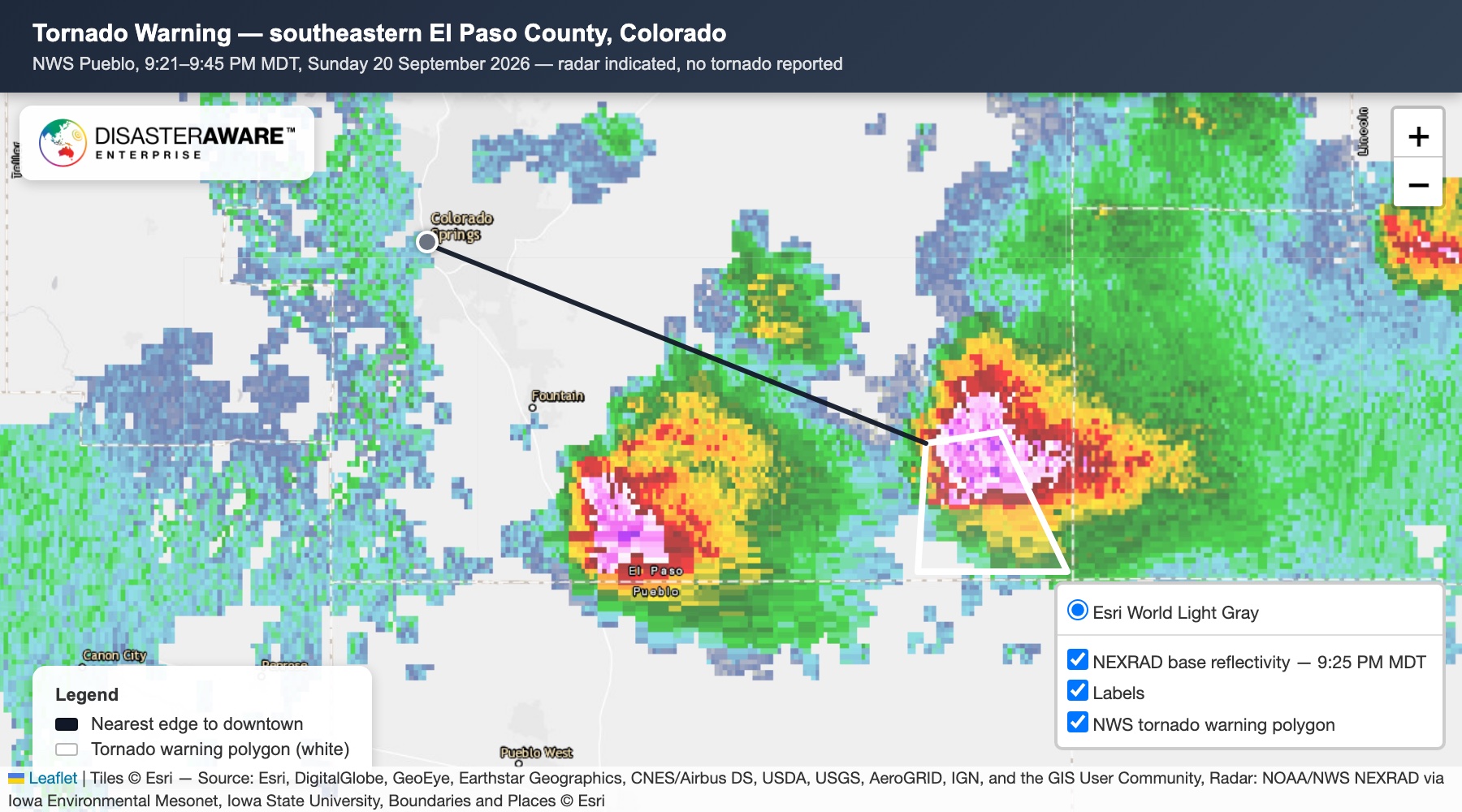
Consider a Severe Thunderstorm Warning. The warning indicates severe weather is expected or imminent. It does not confirm that severe weather actually occurred.
Historical Catastrophe Intelligence separates forecasts from observations.
DisasterAWARE reconstructs disasters using authoritative observed evidence to determine what actually happened. For example, a historic storm may be classified as a Verified Severe Convective Storm only after observed hail, damaging winds, or confirmed tornadoes demonstrate that accepted severe weather thresholds were met. (The full methodology is in our companion piece on Verified Severe Convective Storm Intelligence.)
That difference is critical for underwriting, claims, resilience planning, and historical analysis.
Historical Catastrophe Intelligence changes how organizations use the past. Instead of reviewing isolated observations, they gain decision-ready intelligence.
Insurance carriers validate claims using verified catastrophe footprints. Banks understand the historical physical risks associated with collateral. Supply chain teams investigate previous disruptions affecting suppliers and transportation networks. Business continuity leaders evaluate historical response timelines. Governments study complete disaster evolution rather than isolated reports.
The same historical event now supports dozens of operational decisions. (For how the observed record complements modeled risk, see Historical Catastrophe Intelligence and Catastrophe Models.)
Organizations spend billions of dollars forecasting future disasters. Increasingly, they are discovering that preparing for the future also requires understanding the past.
Not as weather observations. Not as disconnected reports. But as reconstructed historic disasters.
Historical Catastrophe Intelligence doesn't replace historical weather. It builds upon it. It transforms millions of observations into verified, enterprise-ready intelligence that explains how catastrophes actually unfolded.
Because resilience isn't built on knowing what the weather was. It's built on understanding what the disaster became.
Explore the historical record
Decades of reconstructed, verified catastrophes — browse the Historical Event Intelligence overview, or request sample data for your own portfolio.
What's the difference between historical weather data and Historical Catastrophe Intelligence? Historical weather data records what the atmosphere did — rainfall, wind speed, temperature, radar reflectivity. Historical Catastrophe Intelligence reconstructs what the disaster did: which event occurred, how it evolved, which hazards were verified by observation, and what was affected. Weather archives answer scientific questions; reconstructed events answer business questions.
Why isn't a warning or forecast enough to confirm an event happened? A Severe Thunderstorm Warning means severe weather was expected — not that it occurred. Historical Catastrophe Intelligence separates forecasts from observed evidence, classifying a storm as a Verified Severe Convective Storm only when observed hail, damaging winds, or confirmed tornadoes demonstrate that accepted thresholds were met.
Who needs reconstructed historical disasters? Insurance carriers validating claims against verified catastrophe footprints, banks assessing the physical-risk history of collateral, supply chain teams investigating past supplier disruptions, business continuity leaders running after-action reviews, and governments studying how disasters actually unfolded.
How is the intelligence delivered? Every reconstructed catastrophe is published as an enterprise-ready record available through APIs, GIS services, dashboards, and analytics platforms — with source provenance back to the authoritative observations behind it.





































































-min.png)


.png)


.png)









Decision-ready intelligence for understanding what's happening, what is impacted, and what to do next. Global hazard, severe weather, catastrophe, and physical risk intelligence trusted by governments, enterprises, insurers, humanitarian organizations, and technology platforms worldwide.
Request DemoContact Us

