



Why Historical Storm Reports Aren't Enough
Every year, thousands of severe storms occur. But surprisingly few are reconstructed into complete historical intelligence.
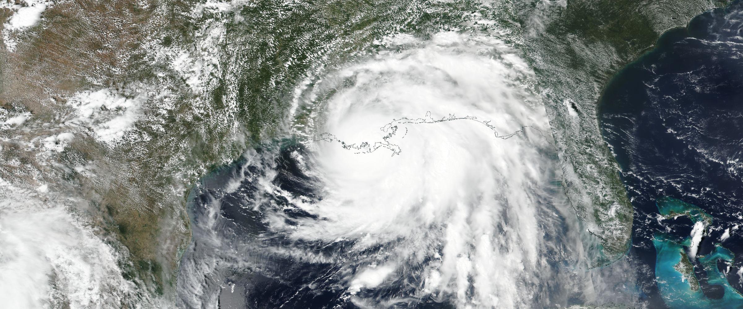
Banner: the storm system that produced the March 10, 2026 tornado outbreak — including the long-track Kankakee–DeMotte EF3 and record-setting hail — as seen from space that day (NASA MODIS). From orbit it's one cloud mass; verified reconstruction is what turns it into tornado paths, hail swaths, and evidence.
A tornado touches down. Golf ball-sized hail damages thousands of roofs. Straight-line winds topple power poles across multiple counties. Emergency managers respond. Insurance claims are filed. Businesses recover.
Years later, organizations trying to understand what actually happened often discover that the historical record is fragmented. One database contains tornado reports. Another contains hail observations. Another contains radar products. Another contains warning polygons. Another contains damage surveys.
Each dataset tells only part of the story. The catastrophe itself has been scattered across dozens of disconnected records.
At DisasterAWARE, we believe historic disasters deserve better. That's why we've developed Verified Severe Convective Storm Intelligence as part of our Historical Catastrophe Intelligence platform. Rather than archiving individual observations, we reconstruct complete severe storm events using authoritative observations from multiple trusted sources.
For decades, historical severe weather datasets have focused on individual observations. One hail report. One tornado report. One wind observation. One warning. One radar product.
Each observation is valuable. None tells the complete story.
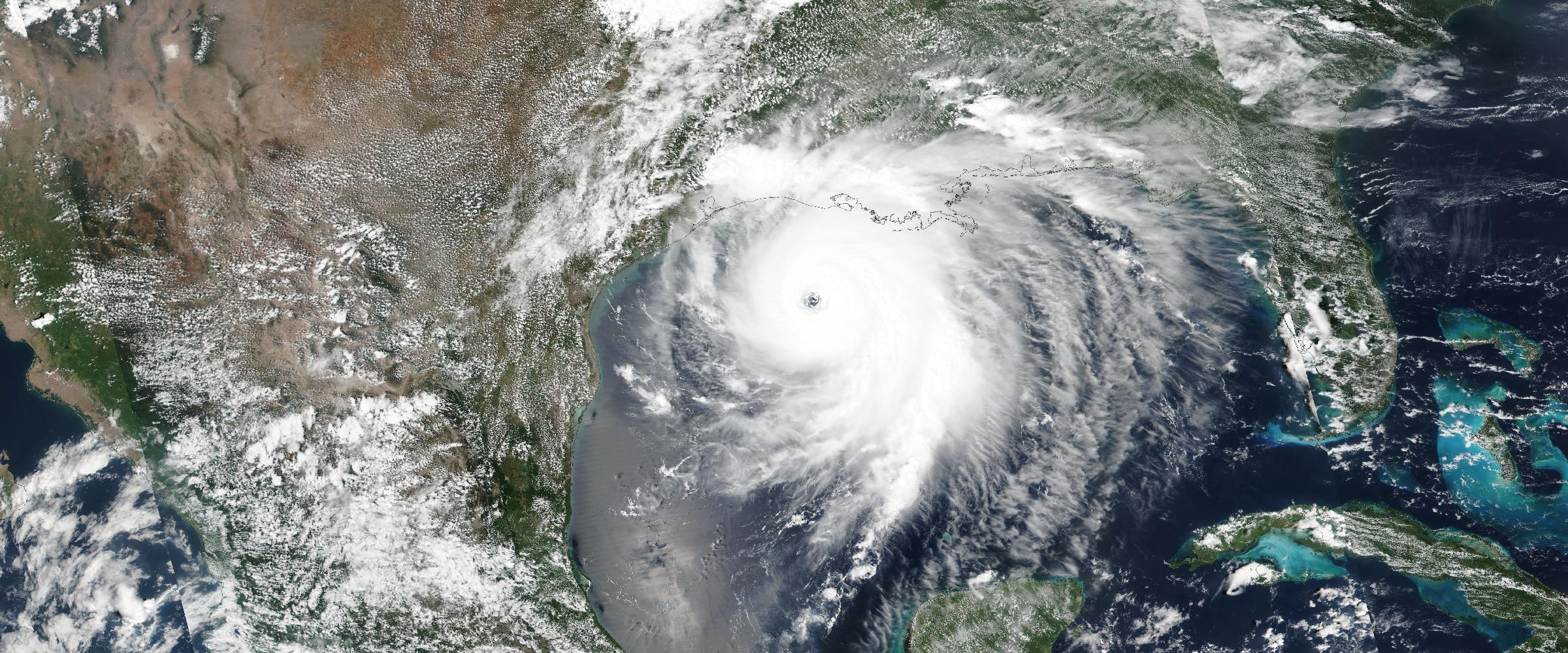
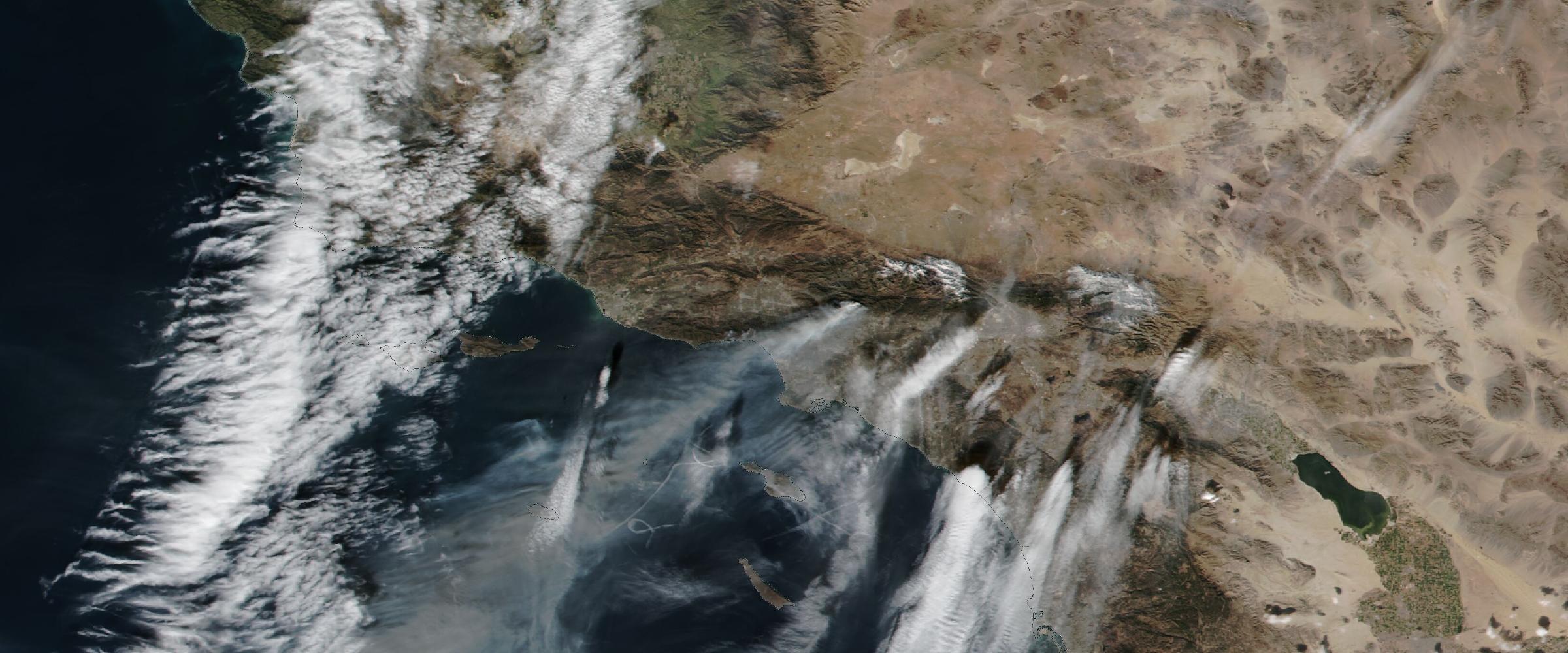
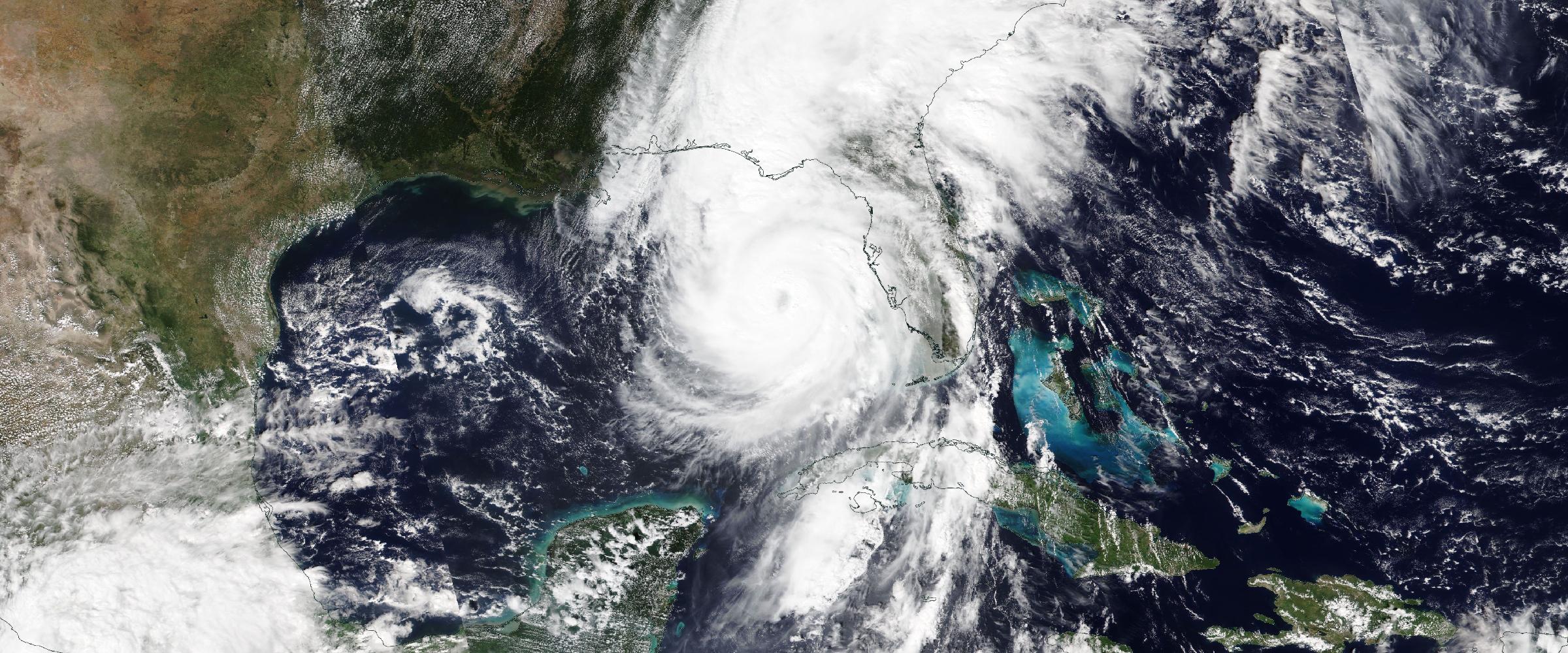
Imagine trying to understand Hurricane Katrina using only one wind measurement. Or reconstructing a wildfire from a single satellite image. The same problem exists with severe convective storms.
Storms evolve. They produce multiple hazards simultaneously. A single supercell may generate destructive hail, damaging straight-line winds, multiple tornadoes, extensive structural damage, dozens of Local Storm Reports, radar signatures, emergency warnings, and detailed damage surveys.
Those observations belong to one disaster. Historically, they have rarely been treated that way.
Meteorologists generally define a severe thunderstorm as one capable of producing at least one of three hazards:
Those thresholds are widely used operationally. But there's an important distinction. Forecasts and warnings indicate that severe weather is possible or expected. Observed evidence tells us what actually happened.
That distinction is critical for insurance, claims, risk analysis, historical research, and catastrophe intelligence.
One of the biggest misconceptions surrounding historical severe weather is assuming that a warning automatically means severe weather occurred.
It doesn't.
Warnings are forecasts. Some warned storms never produce severe weather. Other storms exceed expectations. For organizations making business decisions, the difference matters.
Did the storm actually produce one-inch hail? Was a tornado confirmed? Were damaging winds observed? Those answers should come from verified observations — not forecasts. (It's the same confirmed-versus-rumored discipline that governs tornado ratings, which arrive from damage surveys days or months after the storm — and are sometimes revised, as when the Enderlin, North Dakota tornado was upgraded from EF3 to EF5 long after the fact.)
Evidence, not assumptions
Verified Severe Convective Storm records — confirmed tornadoes, observed hail, measured winds, complete provenance — ready for claims, underwriting, and exposure analysis.
DisasterAWARE approaches historical severe weather differently. Rather than storing isolated observations, we reconstruct each historic storm into a comprehensive intelligence record. Every event is evaluated using observed evidence from multiple authoritative sources, including:
Each observation is correlated spatially and temporally to build a complete picture of the event. The result is not simply a collection of reports. It is a reconstructed historic disaster.
One of the newest capabilities within DisasterAWARE's Historical Catastrophe Intelligence platform is the reconstruction and classification of Verified Severe Convective Storms.
Rather than assuming every warned storm was severe, every reconstructed event is evaluated against observed evidence. DisasterAWARE determines whether an event qualifies as a Severe Convective Storm by confirming that one or more established severe weather thresholds were actually observed.
For each reconstructed storm, the platform identifies:
Every classification includes complete provenance, allowing analysts to understand not only the outcome, but also the observations used to reach that conclusion. This creates a transparent, repeatable methodology for identifying verified severe storms rather than relying solely on warnings or forecasts.
Severe Convective Storms are multi-peril events. DisasterAWARE captures the complete hazard picture. Each reconstructed event may include:
Tornado Intelligence — Touchdown paths, EF ratings, damage path geometries, survey points and narratives, and casualty information where available.
Hail Intelligence — Measured and estimated hail reports, radar-derived MRMS hail swaths, maximum hail size, and insurance-oriented hail classifications.
Wind Intelligence — Measured and estimated gusts, wind damage reports, storm narratives, and warning tags.
Operational Intelligence — Warning polygons, Local Storm Reports, SPC reports, event timelines, and supporting evidence.
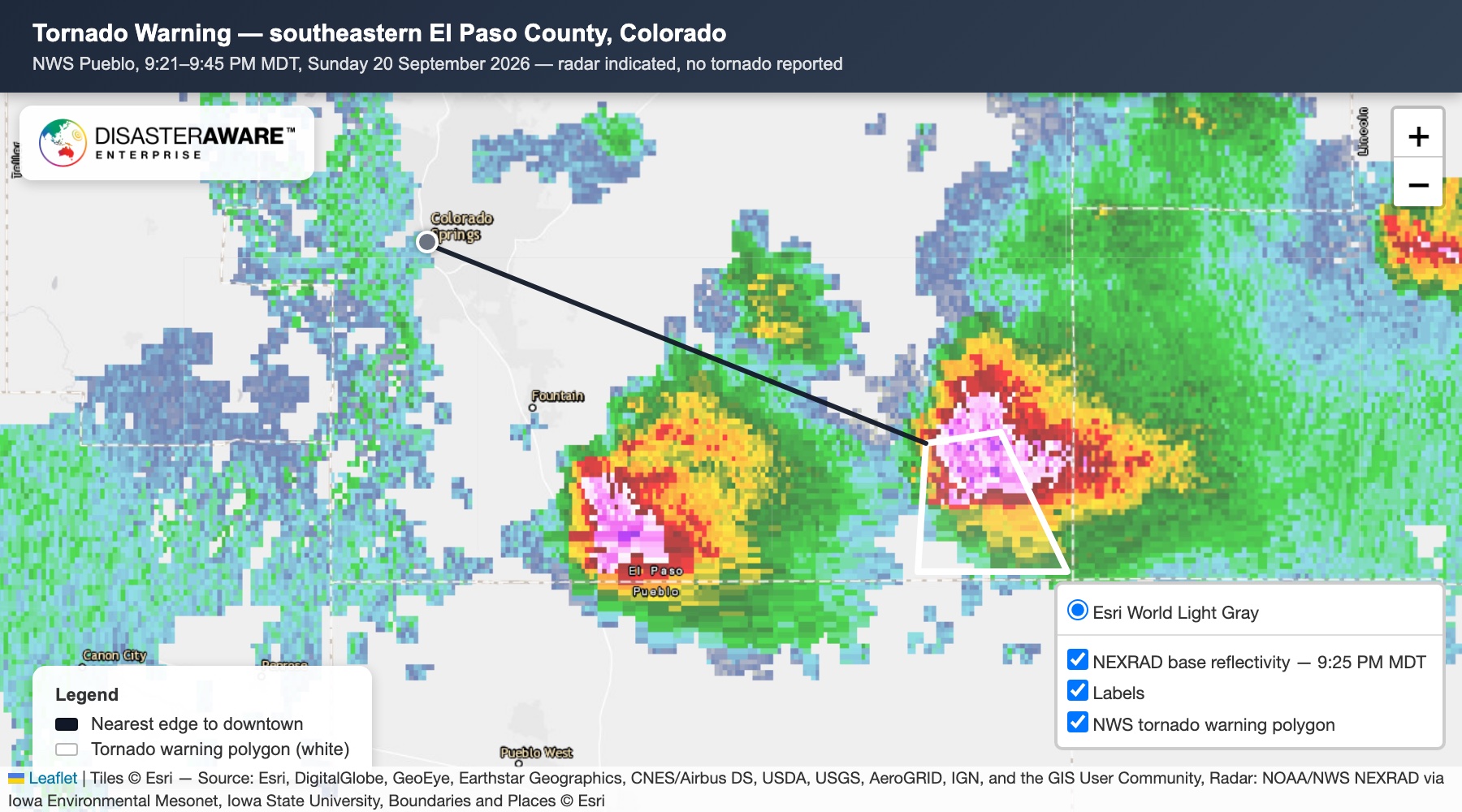
Instead of asking whether a tornado occurred nearby, organizations gain a complete operational history of the storm. (Live severe weather is on the tornado intelligence hub right now — and every event tracked there becomes part of tomorrow's verified historical record.)
Severe Convective Storms are among the costliest catastrophe perils for insurers. But accurately reconstructing historical storms has traditionally required analysts to manually compare multiple datasets. Verified Severe Convective Storm Intelligence dramatically simplifies that process:
Historical catastrophe intelligence becomes directly usable — not merely archival. (The broader insurance picture is in hazard data for insurers.)
DisasterAWARE doesn't replace authoritative weather data. We build upon it. Every reconstructed Severe Convective Storm begins with trusted observations from organizations such as the National Weather Service and Storm Prediction Center. Those observations are then verified, correlated, enriched, classified, and published as a single historical intelligence record.
The result is a richer understanding of how historic disasters actually unfolded.
Traditional historical storm databases encourage users to ask: was there a tornado report?
Historical Catastrophe Intelligence asks: what historic disaster occurred here — and what verified evidence tells its complete story?
That's a fundamentally different question. And it produces fundamentally better intelligence. Because organizations don't make decisions based on isolated observations. They make decisions based on understanding the complete catastrophe.
Does a severe thunderstorm warning mean severe weather occurred? No. Warnings are forecasts — statements that severe weather is possible or expected. Some warned storms never produce severe conditions; others exceed expectations. Whether severe weather occurred is established by observed evidence: measured hail, confirmed tornadoes, verified wind gusts, and damage surveys.
What officially qualifies as a severe thunderstorm? A storm producing at least one of: hail one inch (2.54 cm) or larger in diameter, wind gusts of 58 mph (50 knots) or greater, or a tornado. DisasterAWARE classifies a storm as a Verified Severe Convective Storm only when observed evidence confirms at least one threshold was actually met.
How are tornadoes confirmed? By National Weather Service damage surveys — teams assess the damage path and assign an EF rating after the event, sometimes days later. Verified storm records carry the confirmed touchdown paths, EF ratings, survey points, and narratives, with full provenance for each determination.
Why do insurers need verified storm data instead of warnings? Claims and underwriting decisions turn on what happened at a location, not what was forecast: whether one-inch hail was actually observed, whether a tornado was confirmed, what wind speeds were measured. Verified event footprints replace the manual cross-referencing of tornado databases, hail reports, radar archives, and survey records.





































































-min.png)


.png)


.png)









Decision-ready intelligence for understanding what's happening, what is impacted, and what to do next. Global hazard, severe weather, catastrophe, and physical risk intelligence trusted by governments, enterprises, insurers, humanitarian organizations, and technology platforms worldwide.
Request DemoContact Us

