



Rebuilding Historic Disasters into Verified Enterprise Intelligence
Every organization relies on history to make better decisions. Insurance companies analyze past catastrophes to understand losses and improve underwriting. Supply chain teams investigate historical disruptions to strengthen resilience. Governments study previous disasters to improve emergency planning. Businesses evaluate historic events to guide investments, continuity planning, and climate adaptation.
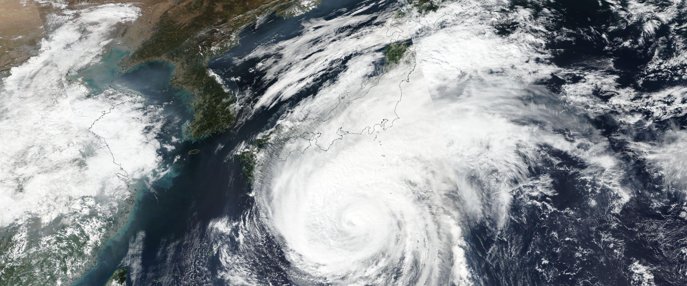
Banner: Typhoon Dolphin approaching Japan's southern islands, August 6, 2026 (NASA satellite imagery). Every advisory, wind field, and landfall of this storm is now a permanently reconstructed record in DisasterAWARE — history, preserved as it happened.
Yet despite the abundance of historical weather data, many organizations still struggle to answer a surprisingly simple question: what actually happened?
Traditional weather archives tell us how the atmosphere behaved. They record rainfall totals, wind speeds, temperatures, radar imagery, and satellite observations. These datasets are invaluable for forecasting, climatology, and scientific research.
But enterprise decision-makers are rarely asking about the weather itself. Instead, they ask questions like:
Those questions require far more than historical weather observations. They require Historical Catastrophe Intelligence.
There is an important distinction between historical weather and historical catastrophe intelligence. Historical weather tells us what the atmosphere was doing. Historical catastrophe intelligence reconstructs what actually happened.
Every disaster generates thousands — or even millions — of observations from satellites, radar systems, weather stations, emergency agencies, field surveys, and scientific instruments. Individually, these observations provide only fragments of the story. Together, they reveal the complete lifecycle of a catastrophe.
At DisasterAWARE, we've spent years developing technologies that rebuild historic disasters from authoritative observations, transforming disconnected datasets into rich, verified intelligence records. Rather than publishing isolated weather measurements, we reconstruct catastrophes as complete operational events.
Every catastrophe leaves behind evidence. Satellite imagery. Radar scans. Government warnings. Damage surveys. Ground reports. Fire perimeters. River gauges. Earthquake shaking measurements. Smoke plumes. Emergency evacuations.
The challenge isn't finding data. The challenge is connecting it.
DisasterAWARE's Historical Catastrophe Intelligence platform continuously integrates authoritative information from trusted government agencies and scientific organizations, correlates related observations, validates conflicting information, enriches each event with additional intelligence, and publishes complete historical disaster records for enterprise use.
Every historical catastrophe follows the same methodology:
Rebuilt — Authoritative observations are collected from trusted government agencies and scientific organizations around the world.
Verified — Observations are validated, reconciled, and correlated into coherent disaster events.
Enriched — Additional analytics, geometries, assessments, classifications, and operational intelligence are added to each event.
Published — The completed catastrophe becomes an enterprise-ready intelligence record available through DisasterAWARE APIs, GIS services, dashboards, and analytics platforms.
The result is a continuously growing library of reconstructed historic disasters rather than disconnected historical datasets.
Explore the reconstructed record
Decades of verified historical disasters — hurricanes, severe storms, wildfires, earthquakes — rebuilt as complete events and delivered through APIs, GIS services, and dashboards.
Disasters evolve. A hurricane strengthens, weakens, changes direction, and makes multiple landfalls. A tornado-producing storm generates hail, damaging winds, warnings, and multiple tornado touchdowns. A wildfire expands, produces smoke, triggers evacuations, and affects air quality hundreds of miles away. An earthquake creates dramatically different shaking intensities across a region despite originating from a single epicenter.
Historical Catastrophe Intelligence captures those stories. Instead of preserving only that an event occurred, DisasterAWARE preserves how it unfolded. (We watched this play out in real time with Typhoon Dolphin's double landfall — every advisory of which is now part of the storm's permanent reconstructed record.)
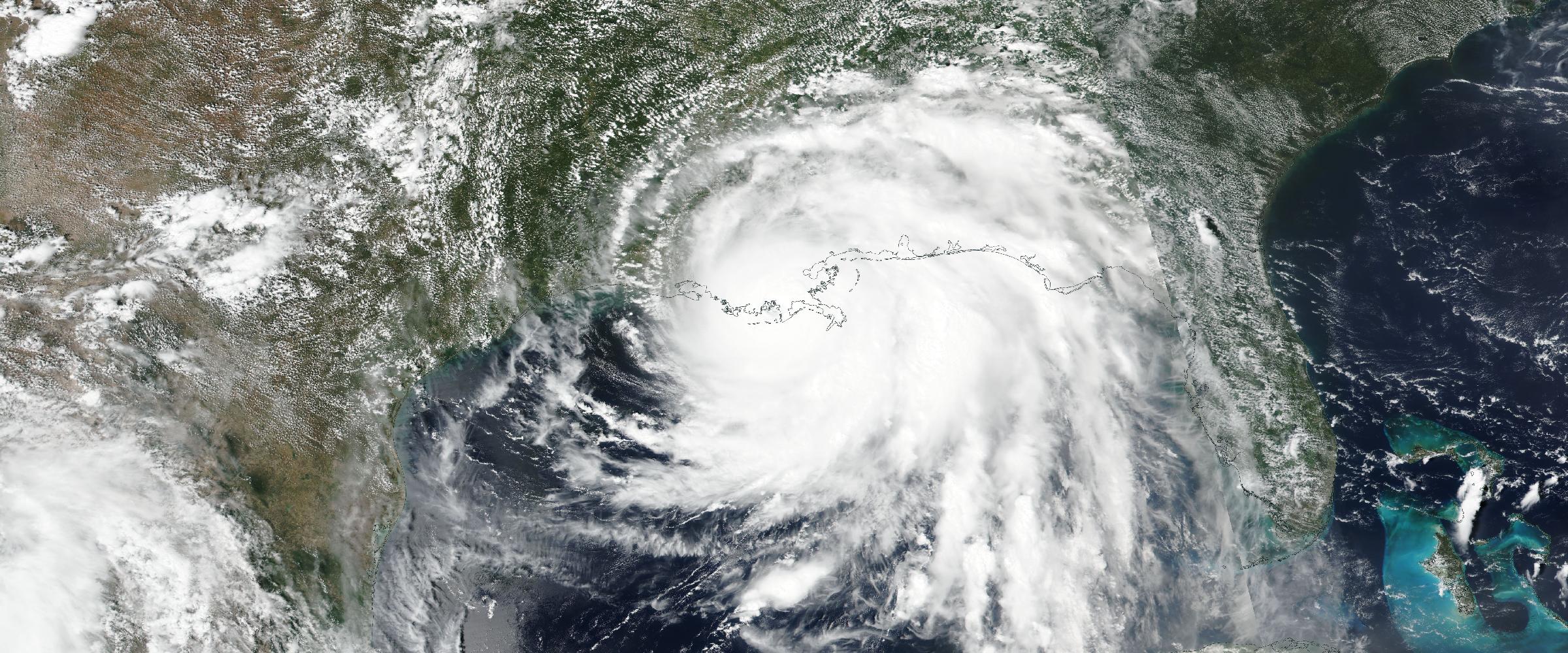
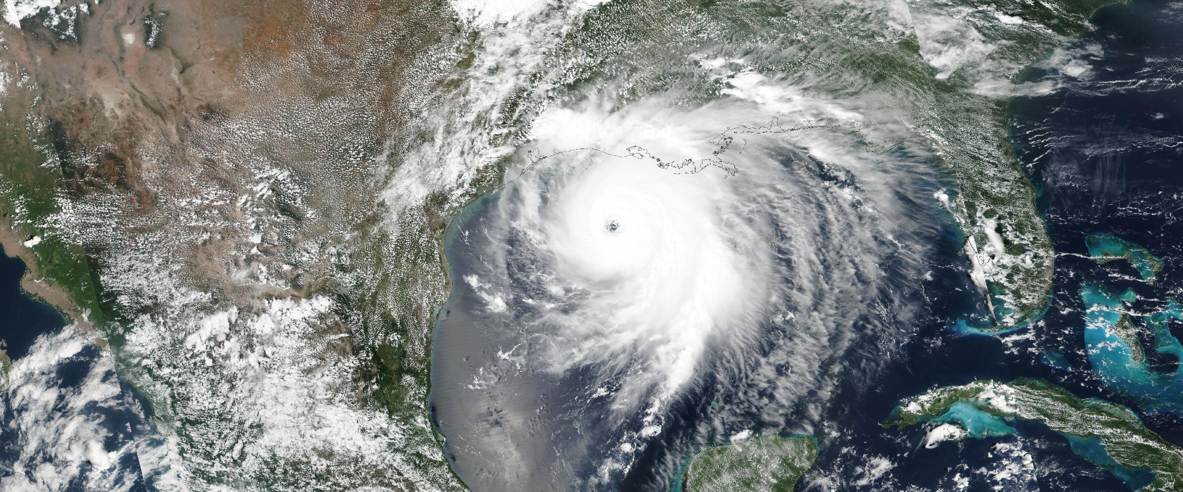
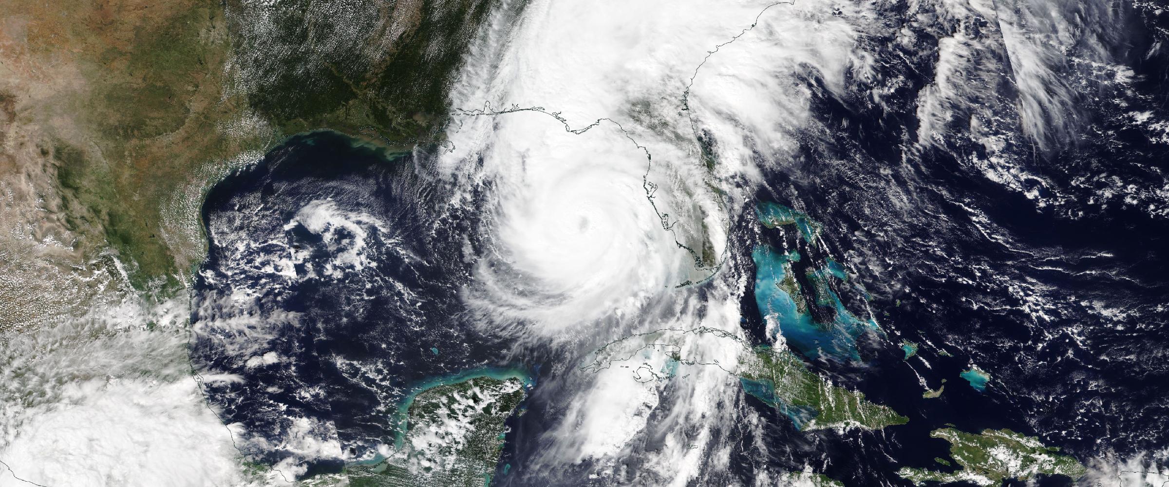
Tropical cyclones are among the most complex natural hazards on Earth. A simple track line tells only a fraction of the story.
DisasterAWARE enriches historical cyclones using authoritative information from NOAA's International Best Track Archive for Climate Stewardship (IBTrACS), rebuilding every storm into a comprehensive operational record. Each reconstructed hurricane includes:
Rather than seeing where a hurricane traveled, organizations gain a complete understanding of how the storm evolved throughout its lifecycle.
Severe Convective Storms (SCS) represent one of the largest sources of insured catastrophe losses globally. Yet they have historically been some of the most difficult events to reconstruct accurately.
Traditional historical datasets often contain isolated pieces of information — tornado reports, hail reports, wind observations, radar products, warning polygons, damage surveys — rarely connected into a single verified event.
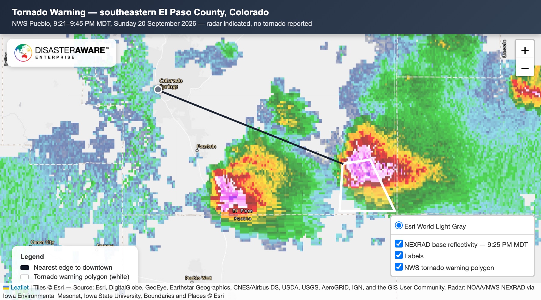
DisasterAWARE changes that. Our platform reconstructs each historic storm by combining authoritative observations from the National Weather Service, Storm Prediction Center, MRMS radar, Local Storm Reports, tornado damage surveys, and other trusted sources.
More importantly, every event is evaluated to determine whether it truly qualifies as a Verified Severe Convective Storm. Unlike systems that rely solely on forecasts or warning issuance, DisasterAWARE classifies storms using observed evidence: a storm qualifies only when verified observations demonstrate that accepted thresholds have been met.
Each reconstructed event includes tornado touchdown paths, EF ratings, damage paths, survey points and narratives, measured and estimated hail reports, radar-derived hail swaths, wind observations, storm damage reports, warning polygons, the Severe Convective Storm classification, and complete evidence provenance. (The full methodology is in our companion piece on Verified Severe Convective Storm Intelligence.)
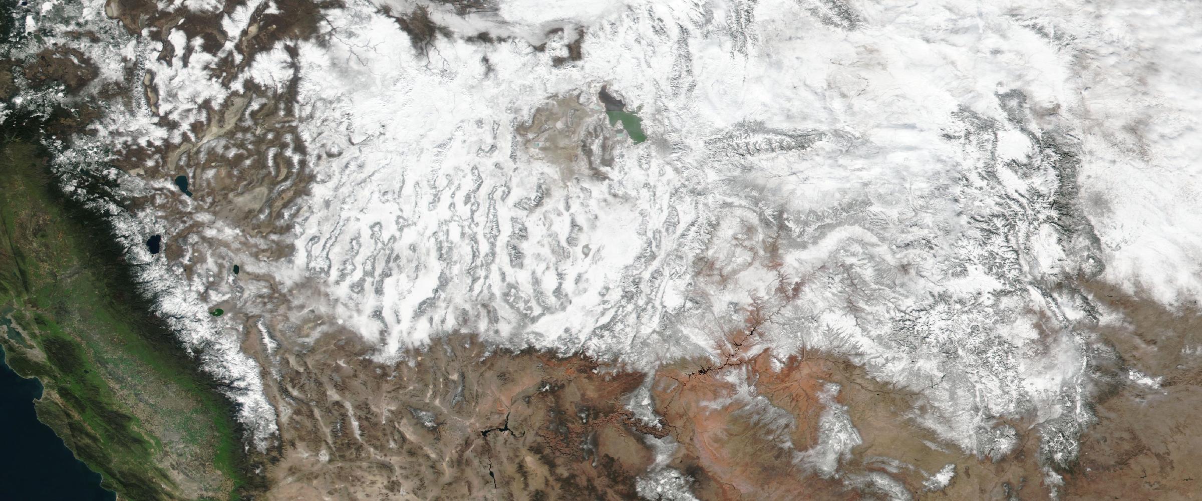
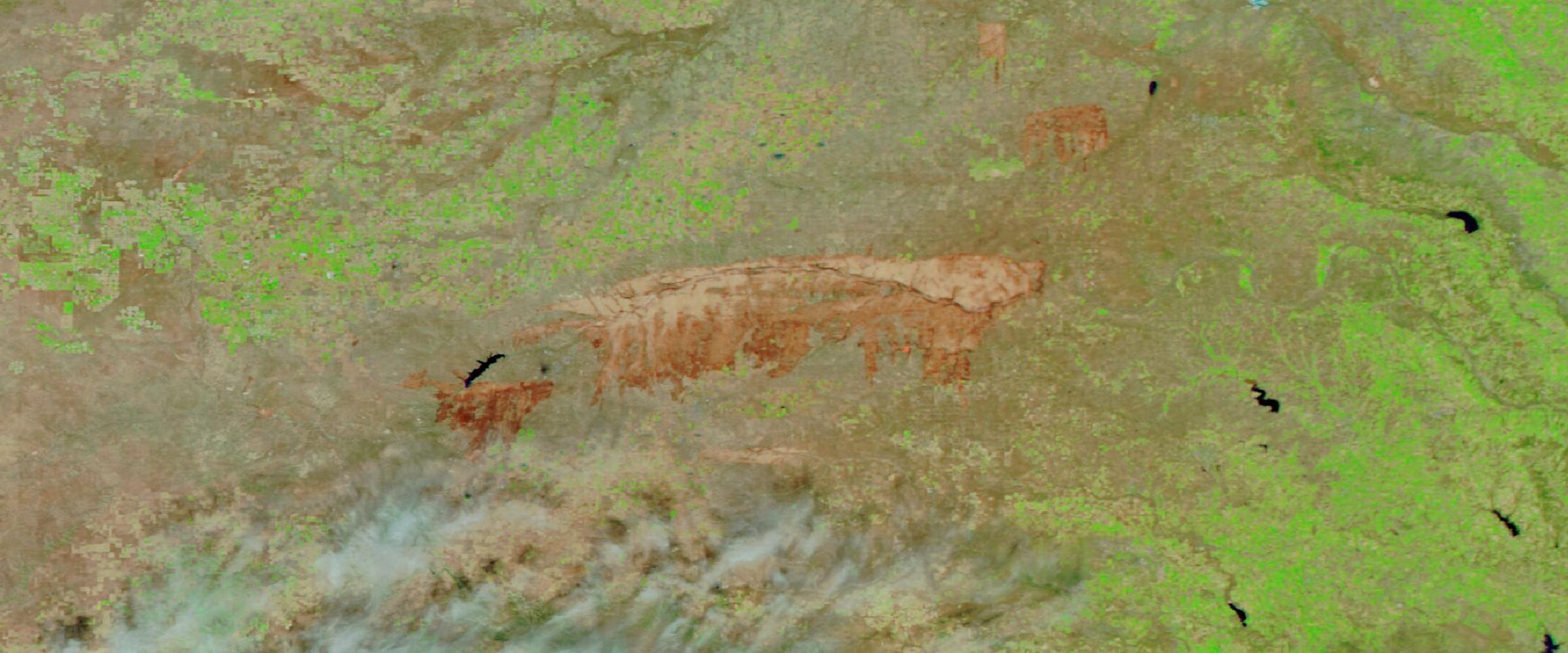
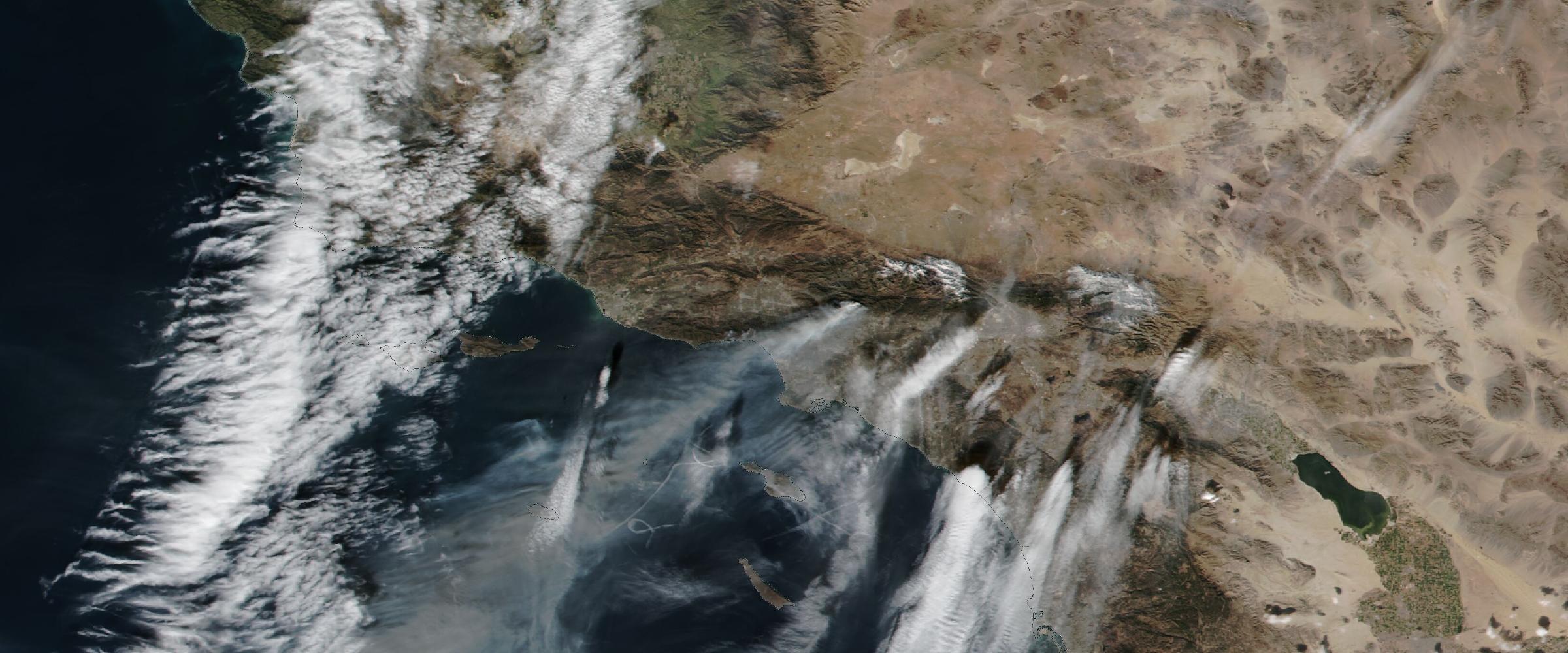
Wildfires are dynamic events. They ignite. They spread. They merge. They produce smoke. They trigger evacuations. They degrade air quality across entire regions. Traditional wildfire archives often preserve only snapshots in time.
Historical Catastrophe Intelligence preserves the complete operational evolution of each wildfire: fire progression and growth, incident evolution, smoke plume geometries, smoke forecasts and observations, air quality measurements, evacuation zones, operational incident information, and burn perimeters.
Organizations can replay how a wildfire unfolded — not simply where it burned. (How those incidents get built in the first place: our wildfire intelligence overview.)
Magnitude is only one measure of an earthquake. Damage depends on ground shaking.
Using authoritative USGS ShakeMap data, DisasterAWARE reconstructs earthquakes with detailed shaking intelligence, including Peak Ground Acceleration (PGA), Modified Mercalli Intensity (MMI), shaking contour geometries, ground-motion polygons, earthquake metadata, and event assessments.
This enables organizations to understand not simply where an earthquake occurred, but how strongly different locations were affected.
Flooding is one of the most expensive and widespread natural hazards, yet it has historically been difficult to reconstruct accurately.
DisasterAWARE is expanding its capabilities to include detailed flood reconstruction using observed flood extents, water depths, authoritative gauge information, and satellite-derived inundation mapping. Rather than identifying where flooding was possible, organizations will be able to understand where flooding actually occurred, how deep it became, and how conditions evolved over time — the same observed flood intelligence approach we apply to live events, extended backward through history.
Rich historical intelligence transforms how organizations analyze risk:
Instead of asking what the weather was, organizations can ask what actually happened. (For the insurance-specific picture — including how the observed record seeds and validates catastrophe models — see hazard data for insurers.)
DisasterAWARE's Historical Catastrophe Intelligence combines authoritative observations from organizations including NOAA, the National Weather Service, the Storm Prediction Center, USGS, NASA, IBTrACS, MRMS, FEMA, and federal, state, provincial, and local emergency agencies.
We don't replace authoritative data. We organize it. We verify it. We enrich it. We connect it. We transform it into enterprise-ready intelligence — explorable today through Historical Event Intelligence.
The next generation of enterprise resilience won't be built on historical weather archives alone. It will be built on historical catastrophe intelligence — rich, verified, event-level records that reconstruct disasters as they actually unfolded.
At DisasterAWARE, we believe every historic disaster should be more than a point on a map or a row in a database. It should be a complete, trusted intelligence record that helps organizations learn from the past, understand the present, and prepare for the future.
Because better decisions don't start with more data. They start with better intelligence.
What is historical catastrophe intelligence? The reconstruction of past disasters as complete, verified events — rather than scattered observations. Authoritative data from agencies like NOAA, NWS, USGS, and FEMA is collected, correlated, validated, enriched with analytics and geometries, and published as enterprise-ready records of how each catastrophe actually unfolded.
How is it different from historical weather data? Historical weather records what the atmosphere did — rainfall, wind, temperature. Historical catastrophe intelligence reconstructs the event: which disaster occurred, how it evolved, what hazards were verified, what was exposed, and how severe it was at each location.
What hazard types are reconstructed? Hurricanes (advisory-by-advisory from IBTrACS, with wind radii and landfall history), severe convective storms (verified tornado, hail, and wind evidence), wildfires (progression, smoke, evacuations, perimeters), and earthquakes (ShakeMap-based shaking intensity). Detailed flood reconstruction is being added.
Who uses historical catastrophe intelligence? Insurance claims and underwriting teams, catastrophe modelers validating against observed events, supply chain and business continuity analysts, government planners, and researchers studying how disasters actually unfold.





































































-min.png)


.png)


.png)









Decision-ready intelligence for understanding what's happening, what is impacted, and what to do next. Global hazard, severe weather, catastrophe, and physical risk intelligence trusted by governments, enterprises, insurers, humanitarian organizations, and technology platforms worldwide.
Request DemoContact Us

