



How DisasterAWARE Rebuilds Catastrophes from Authoritative Observations
Every disaster tells a story. The question is whether anyone preserves it.
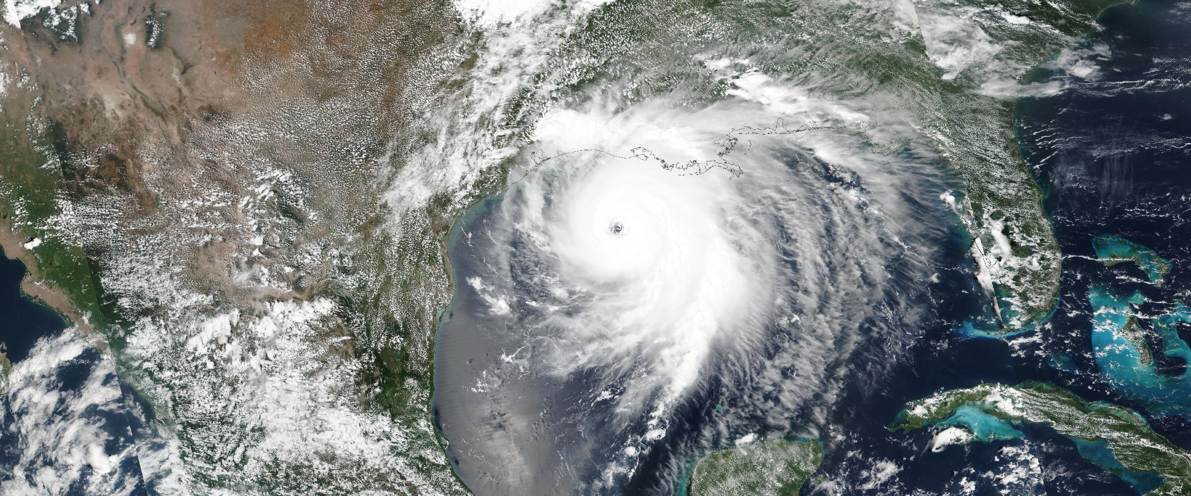
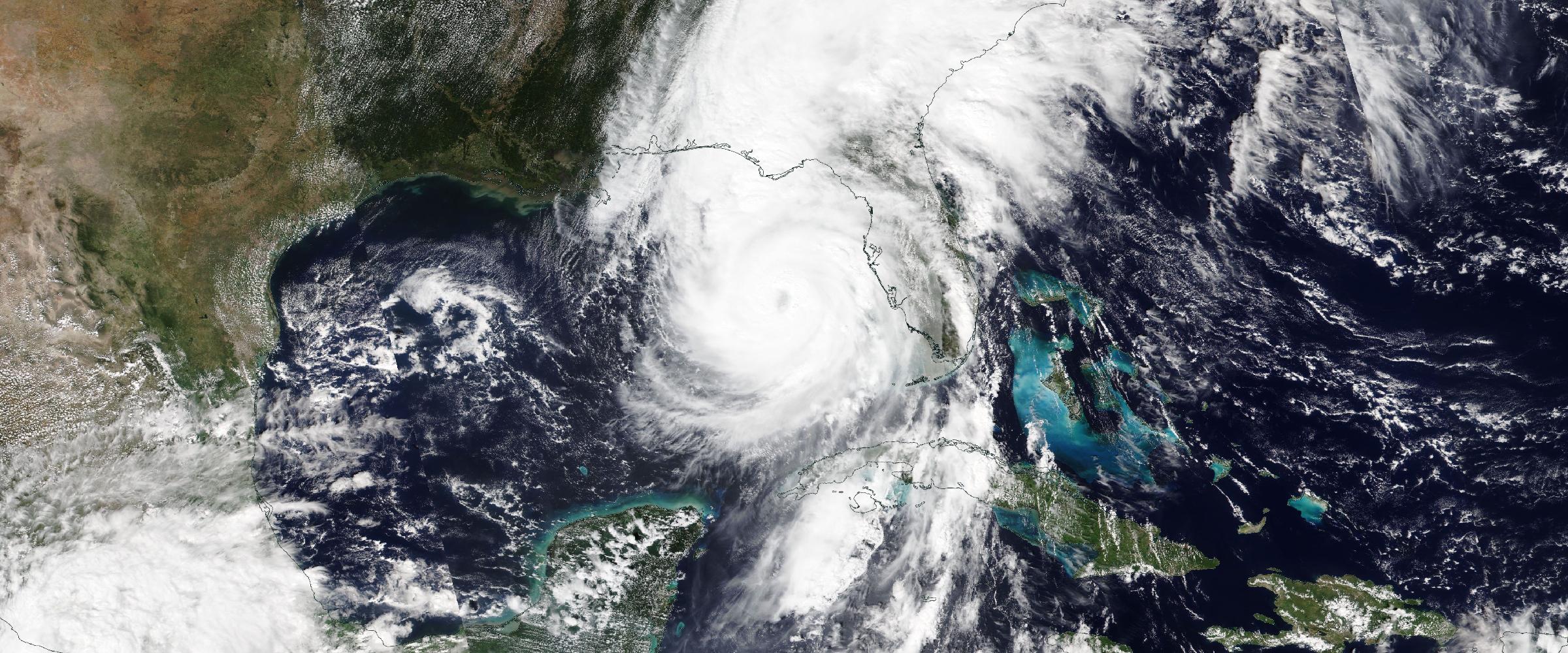
When Hurricane Ian crossed Florida, it left behind millions of observations. Satellite imagery captured the storm's evolution. Aircraft measured central pressure. Weather stations recorded wind speeds. River gauges documented flooding. Emergency managers issued evacuation orders. Insurance adjusters assessed damage. Radar tracked rainbands. Tornadoes touched down.
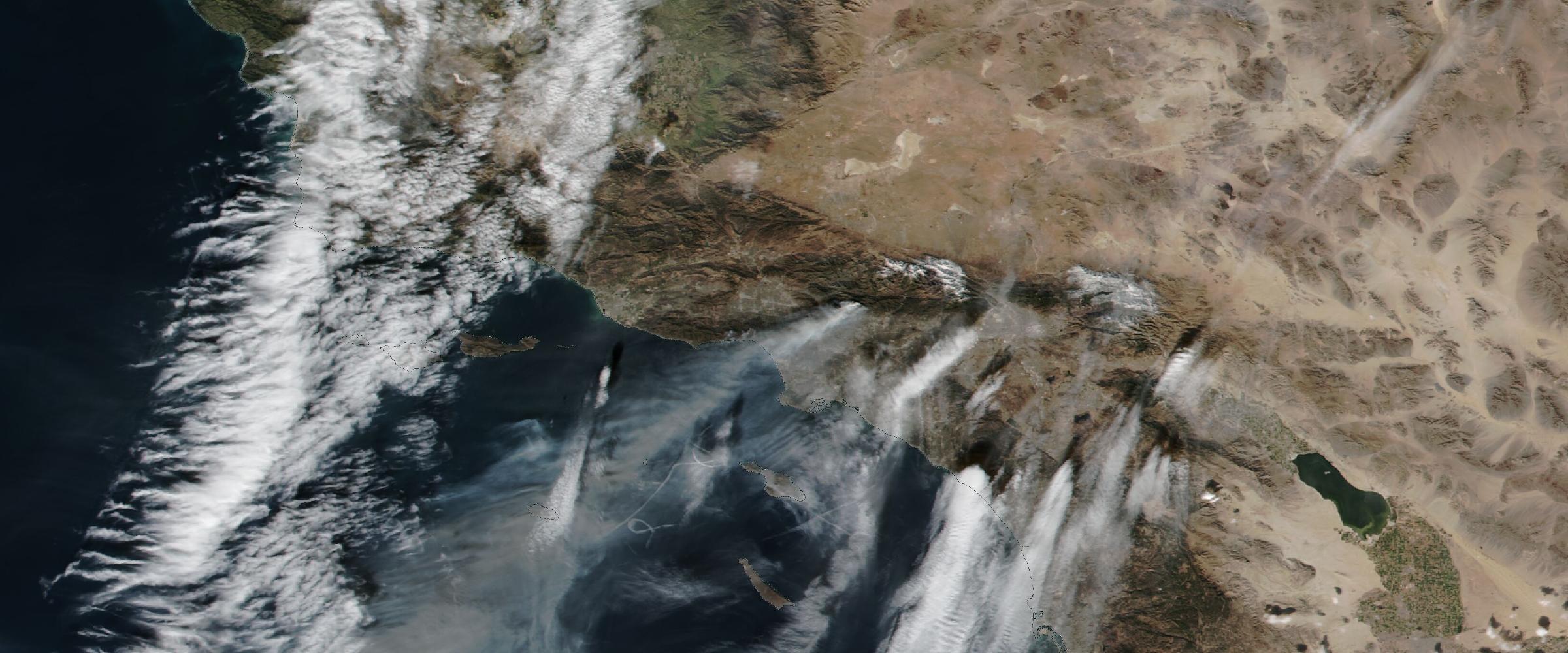
Banner: The Camp Fire's smoke plume streaming across Northern California on November 8, 2018 (NASA Aqua/MODIS via Worldview). Satellite detections, fire progression, evacuations, air quality — every piece of evidence from a disaster like this becomes part of one reconstructed event record.
Each observation described a different part of the same catastrophe. But after the event ended, that story became fragmented.
The satellite imagery lived in one archive. The wind observations in another. Flood measurements somewhere else. Damage surveys in another system. Smoke. Warnings. Radar. Storm reports.
Each stored independently. The catastrophe itself disappeared.
At DisasterAWARE, we believe historic disasters should be preserved the same way they occurred — as complete events. That belief is the foundation of Historical Catastrophe Intelligence.
One of the biggest misconceptions about historical disasters is that there is a single "official" record. There isn't. Instead, every disaster leaves behind an enormous trail of evidence collected by dozens of organizations, each focused on a different aspect of the event.
A hurricane leaves forecast advisories, best-track observations, wind radii, pressure measurements, rainfall estimates, storm surge observations, tornado reports, and damage assessments.
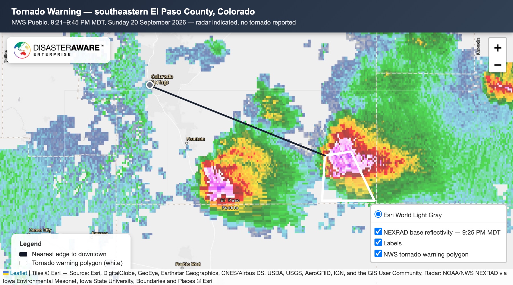
A Severe Convective Storm leaves tornado damage paths, EF ratings, Local Storm Reports, radar-derived hail swaths, measured hail reports, wind observations, damage surveys, and warning polygons.
A wildfire leaves satellite fire detections, fire progression, burn perimeters, smoke plume geometries, air quality observations, evacuation zones, and incident updates.
An earthquake leaves seismic observations, Peak Ground Acceleration, ground shaking intensity, Modified Mercalli values, ShakeMap contours, and damage reports.
Each dataset is authoritative. Each is valuable. None tells the complete story.
People often assume the hard part is collecting historical data. It isn't.
Today, there are more authoritative hazard datasets available than ever before. The real challenge is answering questions like:
Those are intelligence problems. Not data problems.
At DisasterAWARE, we don't think about historical information as individual datasets.
We think in terms of event reconstruction.
Every historical catastrophe becomes an investigation. Every observation becomes evidence.
Rather than asking "What datasets are available?", we ask "What evidence exists that helps us reconstruct this catastrophe?"
That shift fundamentally changes how historical intelligence is built. Instead of publishing isolated observations, DisasterAWARE reconstructs disasters as complete operational events.
See reconstruction in action
Complete historic hurricanes, verified severe storms, wildfires, and earthquakes — rebuilt from authoritative evidence and delivered through APIs, GIS services, and dashboards.
Although every hazard is different, our reconstruction process follows the same four guiding principles.
Every reconstruction begins with authoritative observations. DisasterAWARE integrates information from trusted scientific organizations and government agencies around the world. Depending on the hazard, these may include NOAA, the National Weather Service, the Storm Prediction Center, USGS, NASA, IBTrACS, MRMS, FEMA, the National Interagency Fire Center, and state, provincial, and local emergency agencies.
Each source contributes another piece of the disaster.
Historical observations don't always agree. Different agencies may report different wind speeds. Multiple reports may describe the same tornado. Forecasts may be confused with observations. Duplicate records may exist. Some events may be missing entirely.
Verification is where DisasterAWARE's intelligence process begins.
Observations are evaluated, correlated, reconciled, and validated. The goal is not to collect more data. The goal is to establish what actually happened.
This is where Historical Catastrophe Intelligence becomes much more than an archive.
Once observations have been verified, DisasterAWARE generates additional intelligence that helps organizations understand the catastrophe. Events may be enriched with complete hazard assessments, operational timelines, event evolution, detailed geometries, hazard classifications, exposure analytics, supporting narratives, source provenance, and historical context.
Instead of dozens of disconnected observations, organizations receive a complete intelligence record.
Finally, every reconstructed catastrophe becomes an enterprise-ready intelligence product. Historical Catastrophe Intelligence is published through APIs, GIS services, dashboards, historical catalogs, enterprise analytics, and exposure platforms.
The event is no longer just historical information. It becomes operational intelligence.
Although the reconstruction methodology is consistent, every hazard tells its story differently.
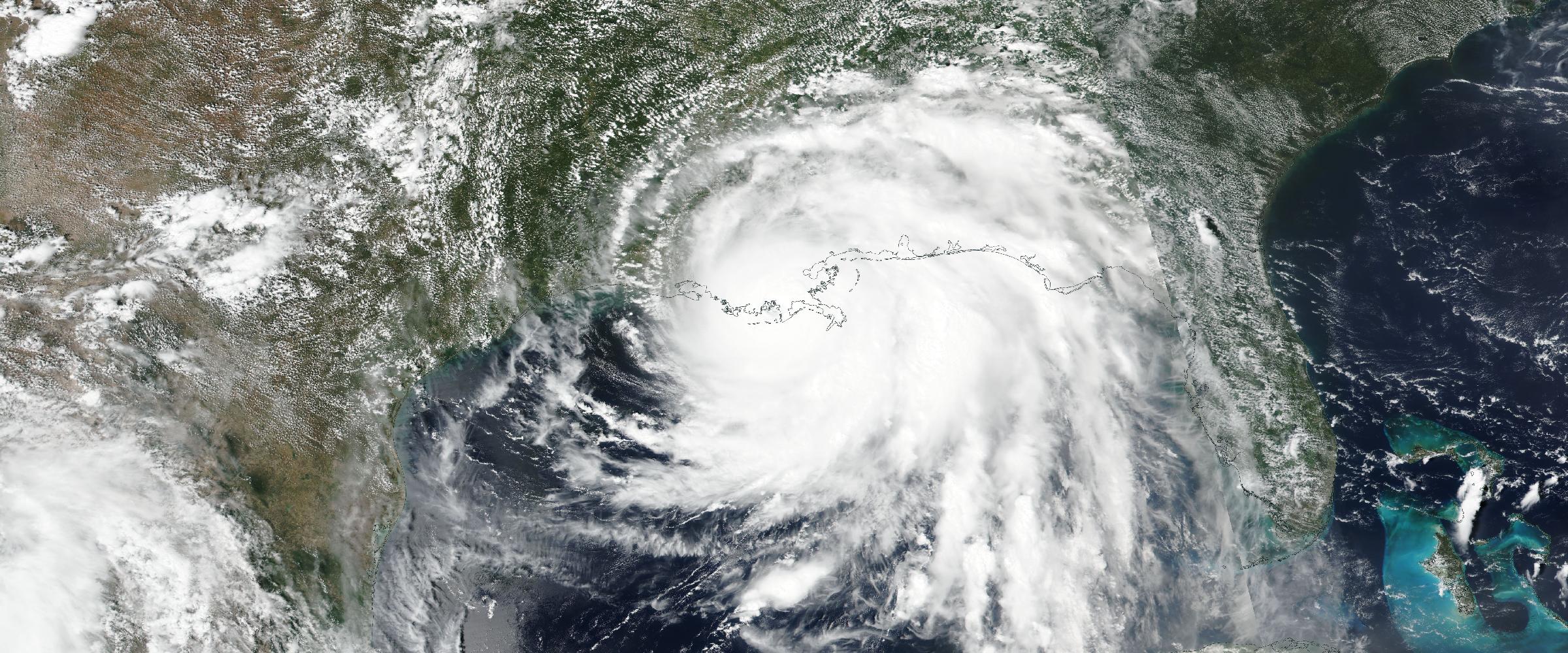
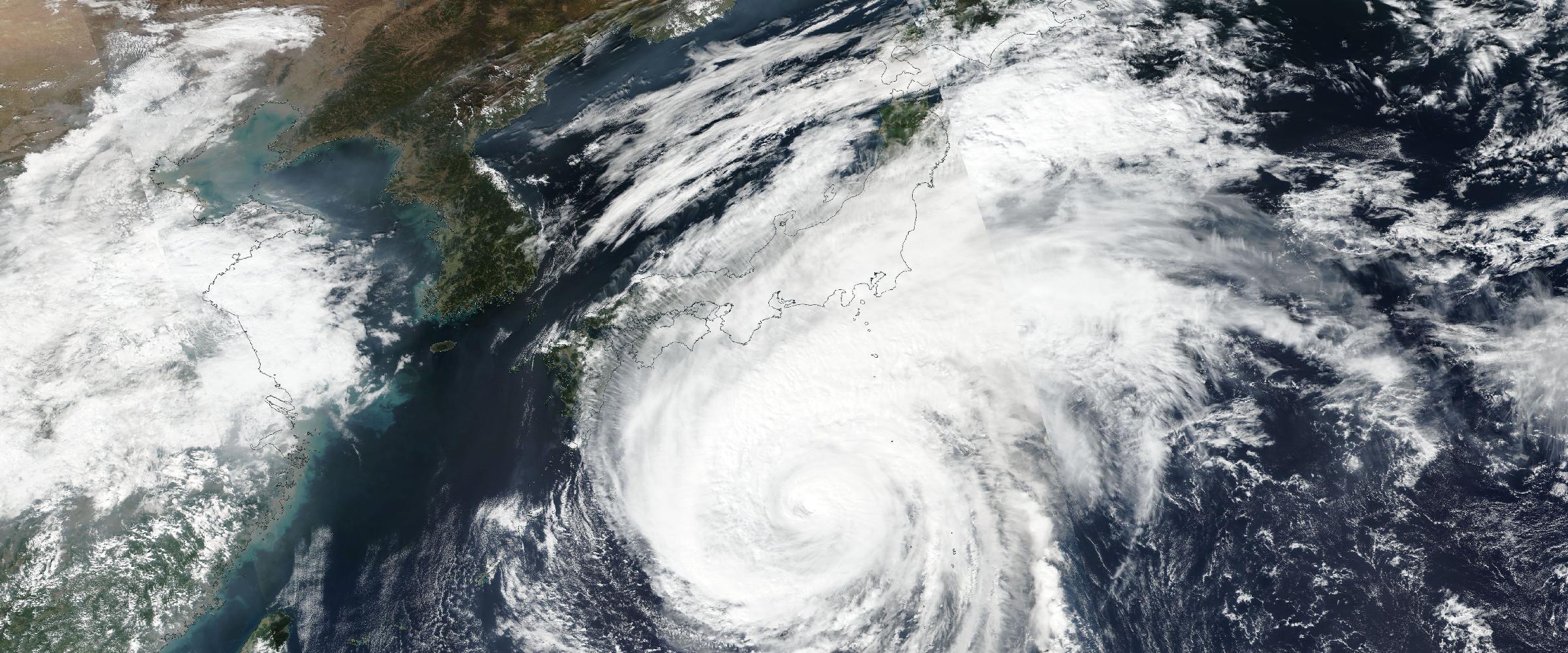
A hurricane is reconstructed from its evolution. Not simply its track. Historical hurricane intelligence includes complete advisory tracks, wind radii, landfalls, pressure changes, intensity evolution, hurricane-force duration, and the full storm lifecycle.
Every advisory contributes another chapter to the story.
Storms leave behind many different forms of evidence. DisasterAWARE reconstructs storms using tornado paths, EF ratings, damage surveys, wind observations, hail reports, radar hail swaths, warning polygons, and Local Storm Reports.
These observations are combined to determine whether the event actually qualified as a Verified Severe Convective Storm based on observed evidence — not simply because a warning was issued.
Wildfires evolve continuously. Their story includes fire growth, fire progression, smoke transport, air quality degradation, evacuation zones, burn perimeters, and operational updates.
Rather than preserving one snapshot, Historical Catastrophe Intelligence captures the complete evolution of the incident. (How those incidents get built for live events: our wildfire intelligence overview.)
Magnitude tells only part of the story. Ground shaking tells the rest.
DisasterAWARE reconstructs earthquakes using Peak Ground Acceleration, Modified Mercalli Intensity, ShakeMap contours, ground-motion geometries, and event assessments.
The result is a much richer understanding of how the earthquake affected different locations.
Most organizations don't make decisions using raw datasets. They make decisions using events.
Insurance carriers ask: "What catastrophe affected this policyholder?"
Supply chain leaders ask: "What historic disasters disrupted this supplier?"
Banks ask: "What catastrophes has this collateral experienced?"
Business continuity teams ask: "How did this disaster unfold, and what can we learn from it?"
None of those questions can be answered by a single weather observation. They require reconstruction.
One of the defining characteristics of Historical Catastrophe Intelligence is transparency.
Every reconstructed event is grounded in authoritative observations. Every assessment can be traced back to its supporting evidence. Every enrichment builds upon verified data.
That means organizations don't simply receive an answer. They understand why the answer is supported. Confidence comes from evidence. Evidence builds trust. Trust enables better decisions.
For decades, organizations have invested in collecting more data. The next evolution isn't collecting more. It's connecting more.
Every year, disasters generate billions of observations around the world. Most are archived. Few are reconstructed. Historical Catastrophe Intelligence changes that.
By rebuilding historic disasters from authoritative evidence, DisasterAWARE transforms fragmented observations into complete intelligence records that organizations can search, analyze, visualize, and learn from. Because every historic disaster leaves behind evidence.
The challenge isn't finding it. The challenge is preserving the story it tells.
Explore the historical record
Decades of reconstructed, verified catastrophes — browse the Historical Event Intelligence overview, or request sample data for your own portfolio.
What sources does DisasterAWARE use to reconstruct historic disasters? Authoritative scientific and government organizations — NOAA, the National Weather Service, the Storm Prediction Center, USGS, NASA, IBTrACS, MRMS, FEMA, the National Interagency Fire Center, and state, provincial, and local emergency agencies. Every reconstructed event carries source provenance back to those observations.
What does the reconstruction methodology look like? Four steps applied to every event: Rebuild (collect authoritative observations), Verify (correlate, reconcile, and validate them — separating observations from forecasts), Enrich (add assessments, timelines, geometries, classifications, and exposure analytics), and Publish (deliver the completed event through APIs, GIS services, and dashboards).
How do you know which observations belong to the same event? That's the core intelligence problem. Observations are correlated across sources — advisories to one hurricane, storm reports to one tornado, satellite detections to one evolving fire — then conflicts are reconciled and duplicates removed before the event is classified and published.
Can I trace a reconstructed event back to its evidence? Yes. Transparency is a defining feature: every assessment in a reconstructed catastrophe links back to the authoritative observations that support it, so analysts can see why a classification was made, not just what it is.





































































-min.png)


.png)


.png)









Decision-ready intelligence for understanding what's happening, what is impacted, and what to do next. Global hazard, severe weather, catastrophe, and physical risk intelligence trusted by governments, enterprises, insurers, humanitarian organizations, and technology platforms worldwide.
Request DemoContact Us

