Hazard Intelligence Briefings

Thank you! Your submission has been received!
Oops! Something went wrong while submitting the form.
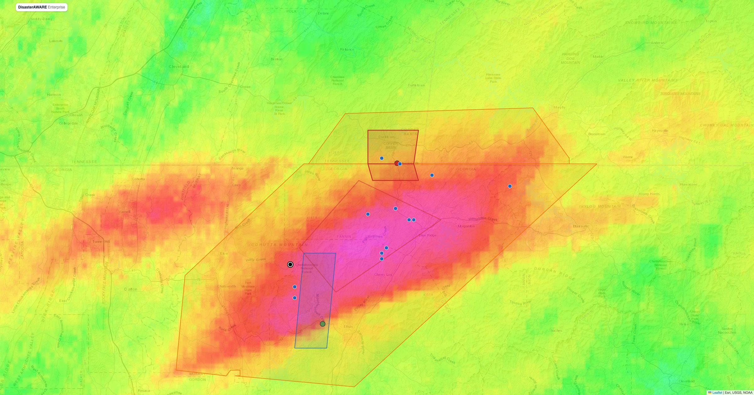
Map of north Georgia and southeast Tennessee showing NOAA MRMS 24-hour radar rainfall with a band of more than 10 inches over Fannin and Gilmer counties, NWS flash flood emergency and warning polygons, and storm reports around McCaysville and Blue Ridge, November 5, 2026
Latest News
November 9, 2026

A 1,000-Year Flood on a River That Had Passed 10 Feet Only Once: the Toccoa and Ocoee Record of November 5, 2026

Read More
Arrow white right

Previous

Map of north Georgia and southeast Tennessee showing NOAA MRMS 24-hour radar rainfall with a band of more than 10 inches over Fannin and Gilmer counties, NWS flash flood emergency and warning polygons, and storm reports around McCaysville and Blue Ridge, November 5, 2026
All
November 9, 2026

A 1,000-Year Flood on a River That Had Passed 10 Feet Only Once: the Toccoa and Ocoee Record of November 5, 2026

Eleven inches of rain in 12 hours sent the Toccoa and Ocoee to a record 18.05 feet at Copperhill. Every warning, storm report and gauge reading on one map, with radar rainfall, FEMA flood zones and DisasterAWARE exposure as layers you can switch on.
Satellite view of the cloud mass over New Mexico and Arizona on October 25, 2026, during the Southwest's late-October flood (NASA Worldview, Suomi NPP VIIRS true colour)
All
November 3, 2026

The Southwest's October Flood: Three Deaths in New Mexico, a Santa Fe Tornado and 416 US Flash Flood Warnings in One Month

Ten days of flash floods and tornadoes across New Mexico, Arizona, West Texas and Nevada, checked warning by warning against what NWS storm reports say happened. Plus two cyclones in six days on India's east coast.
An aerial view of Moore, Oklahoma, after the May 20, 2013 tornado: whole neighbourhoods flattened to debris along a straight track, with cars lining the streets.
All
October 13, 2026

The Worst Tornadoes in US History: Deadliest, Widest, Longest-Tracked (Mapped)

The worst tornadoes in US history, ranked and mapped: the deadliest since 1840, the deadliest, widest and longest-tracked since records began in 1950, the worst tornado in 28 states, and what single tornadoes cost insurers.
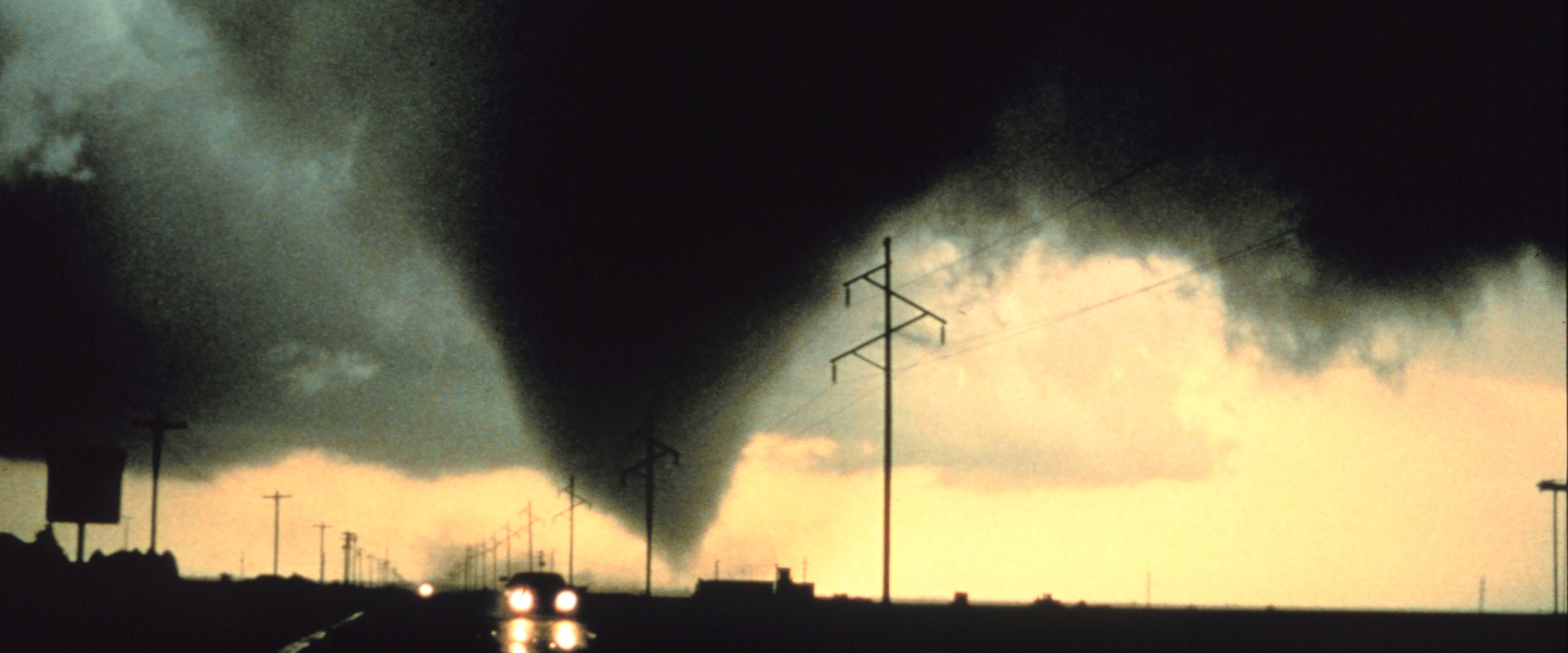
A dark, wide tornado touches down beneath a storm cloud on the Texas plains, silhouetted against a yellow sky, with power lines and a car's headlights on the road in the foreground.
All
October 13, 2026

Tornadoes That Should Have Been Rated EF5: El Reno, Greenfield, Rolling Fork and the Rating Debate

The tornadoes most often argued as EF5: El Reno (EF3 despite 295+ mph radar winds), Greenfield (EF4, radar-derived 309–318 mph), 15 high-end EF4 candidates and 2026's Enid EF4 — and why the scale rates damage, not wind.
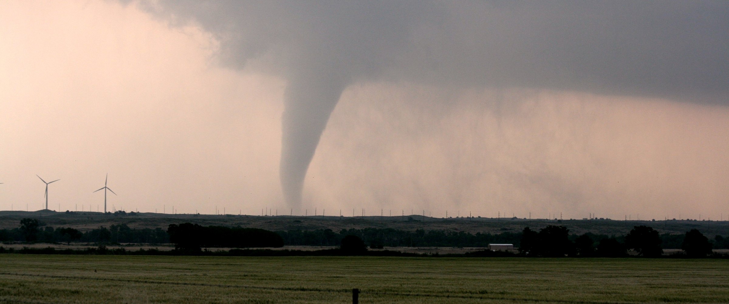
A tornado funnel reaches the ground beyond a Kansas wheat field and wind turbines, one of many tornadoes in the May 23–24, 2008 outbreak.
All
October 13, 2026

Largest Tornado Outbreaks in US History: 1974, 2011 and March 2026 Compared (Mapped)

The largest tornado outbreak in US history, by the numbers: 355 confirmed tornadoes in April 2011, the 10 biggest tornado days on record, the deadliest outbreaks back to 1896, and how 1974 and March 2026 compare — with every tornado mapped.
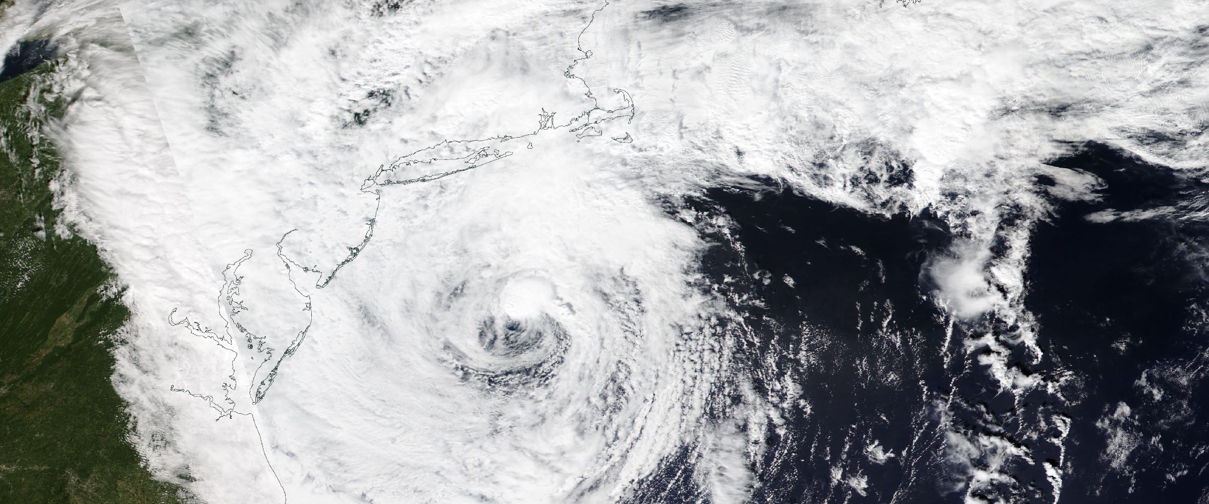
NASA NOAA-20 VIIRS satellite image of the late-September 2026 nor'easter spiraling off the New Jersey and Delmarva coast on September 26, 2026
All
September 30, 2026

The September 2026 Nor'easter, Warned vs. Measured: Highest Water Since Sandy at Kiptopeke and Ocean City Inlet

The late-September nor'easter pushed Kiptopeke, VA and Ocean City Inlet, MD to their highest water since Sandy. We checked all 51 NOAA tide gauges from Virginia to Maine against the NWS warnings in force at each peak.
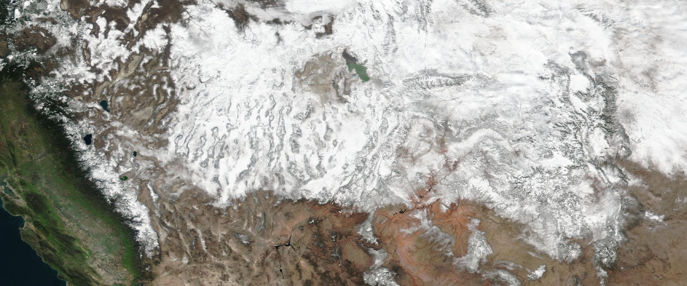
NASA VIIRS true-color satellite image of snow cover across the western United States on February 8, 2016, during the 2015-16 El Niño, from the Sierra Nevada and Lake Tahoe to the Wasatch and Colorado Rockies
All
September 25, 2026

El Niño and the 2026-27 Ski Season: Which Mountains Tend to Win, and Which Lose

We checked April 1 snowpack near 17 ski regions in every strong El Niño winter since 1972. The Northwest came up short, Arizona and New Mexico usually boomed, Utah and Colorado showed no signal, and even the winners had a melt-out year.
NASA satellite map of sea surface temperature anomalies on September 19, 2026, showing the 2026-27 El Niño as a band of record-warm water across the equatorial Pacific from the date line to South America
All
September 25, 2026

El Niño 2026-27: How Strong It Is, What the Forecasts Say, and What It Means This Winter

The 2026-27 El Niño is second only to 1997 at this point in the year, with an 83% chance of a record. Where it stands, the forecast range, how it bends the jet stream, and why a record El Niño isn't a guaranteed record winter.
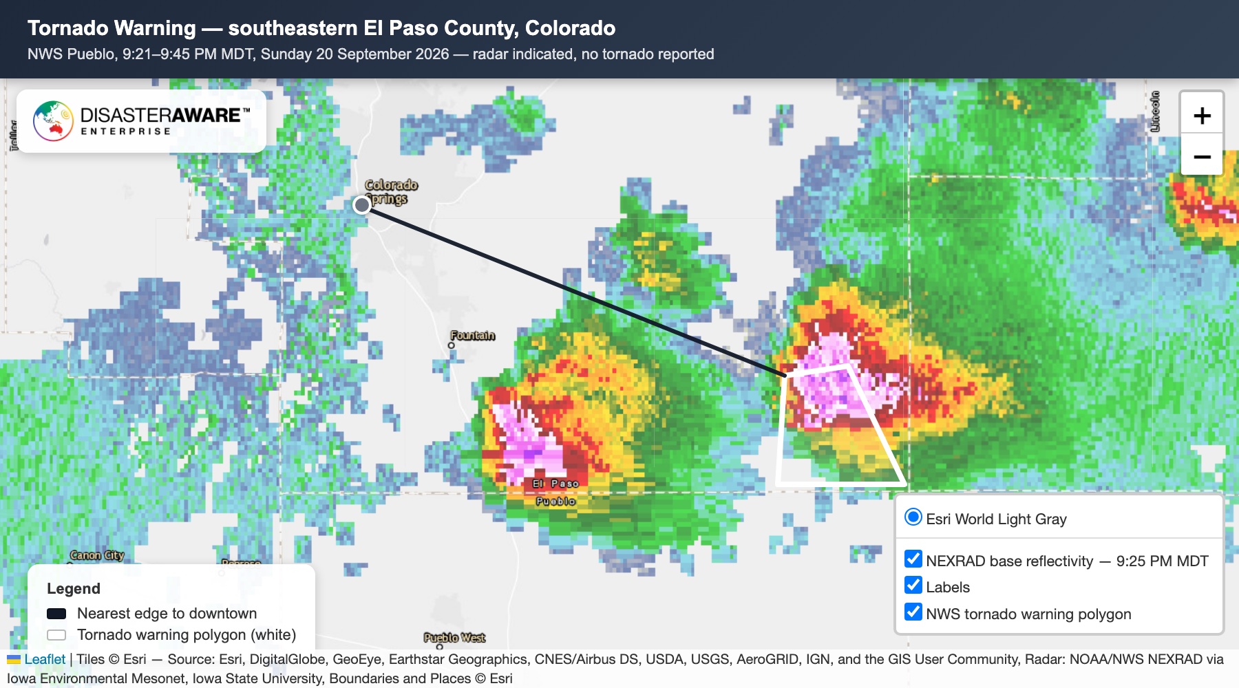
DisasterAWARE map of the September 20, 2026 tornado warning near Colorado Springs: the NWS warning polygon outlined in white over NEXRAD radar, storm core inside it, downtown 34 miles northwest. Radar NOAA/NWS via Iowa Environmental Mesonet; basemap Esri.
All
September 23, 2026

Did a Tornado Hit Colorado Springs on September 20? What the Warning Actually Covered

Did a tornado hit Colorado Springs on September 20? No. NWS Pueblo issued one radar-indicated tornado warning for rural southeastern El Paso County, about 34 miles from downtown, for 24 minutes. No tornado was reported.
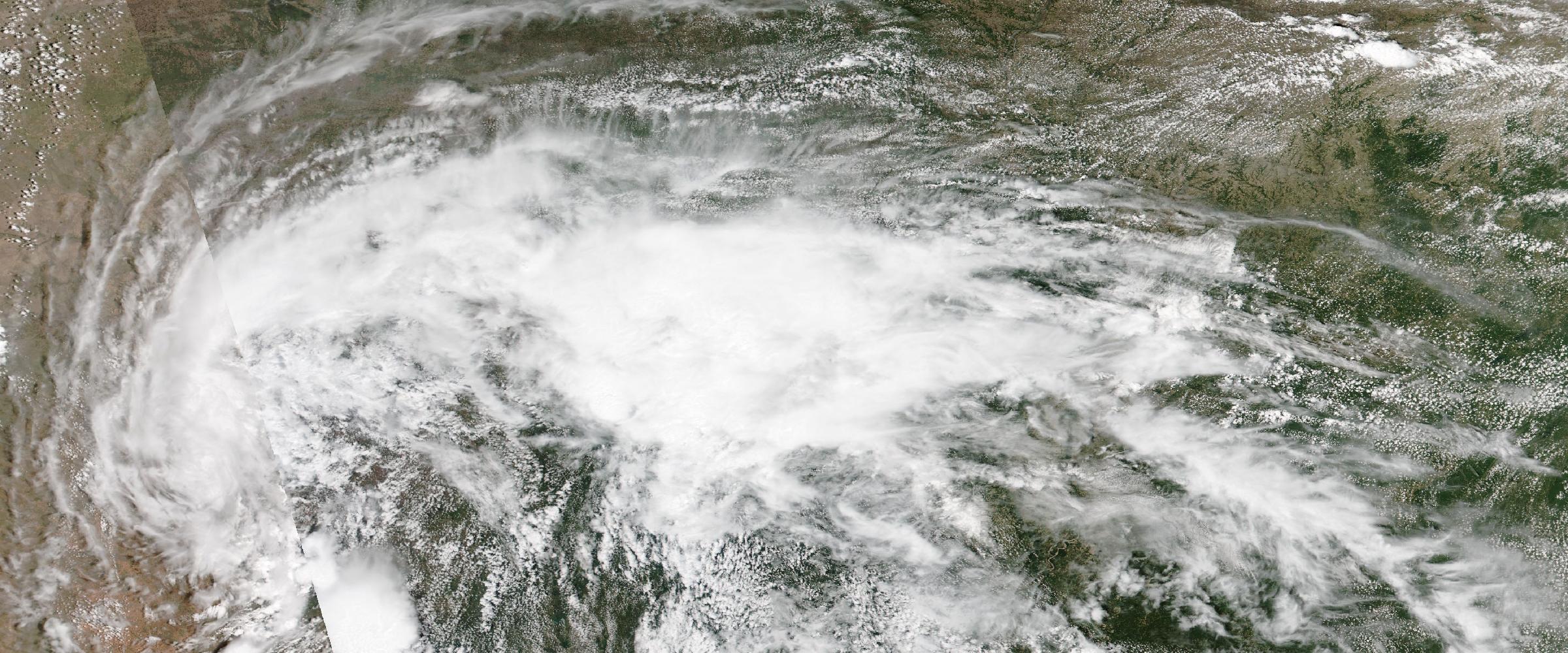
A sprawling storm complex over the southern Plains on June 6, 2026, during the peak tornado-warning month of the year (NASA NOAA-20 VIIRS true color)
All
September 16, 2026

Tornadoes of 2026: The Running Record

Tornadoes of 2026, in one running record: 2,841 NWS tornado warnings through October 26, the strongest rated tornado (an EF4 at Enid, Oklahoma), the EF5 question answered, and every notable outbreak month by month.
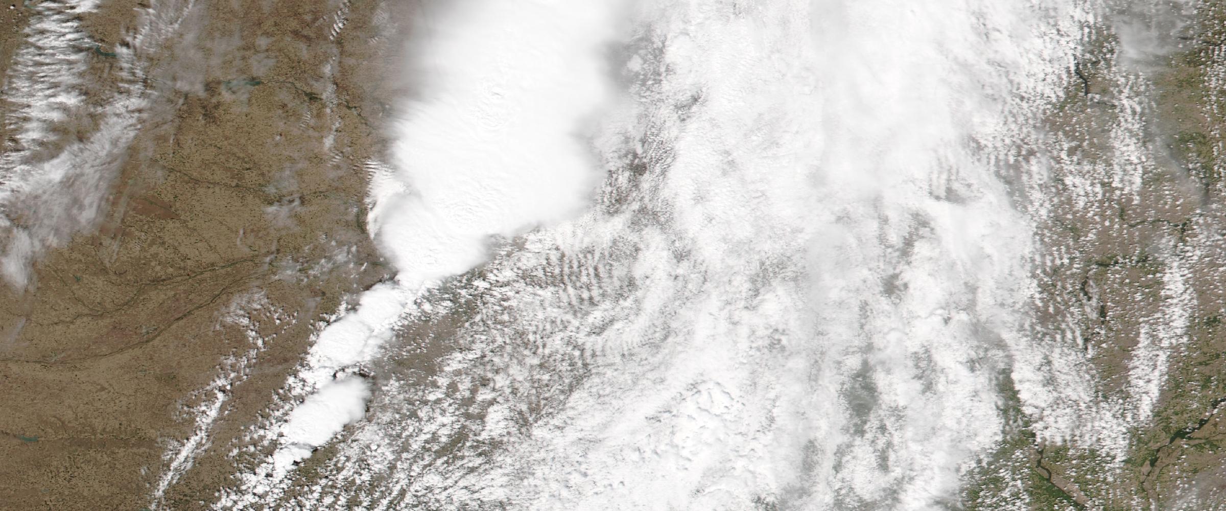
Convective storms building over the eastern Dakotas on September 7, 2026, hours before that night's three tornado warnings (NASA NOAA-20 VIIRS true color)
All
September 16, 2026

September Didn't Stand Down: 25 Tornado Warnings, 14 Reports, and 10 Surveyed Paths in Eleven Days

Tornado season's quiet month wasn't: 25 NWS tornado warnings Sept 4-14, tornado reports on eight of eleven days, and ten surveyed tornado paths from North Carolina to Nebraska — with a record year in western Pennsylvania as the backdrop.
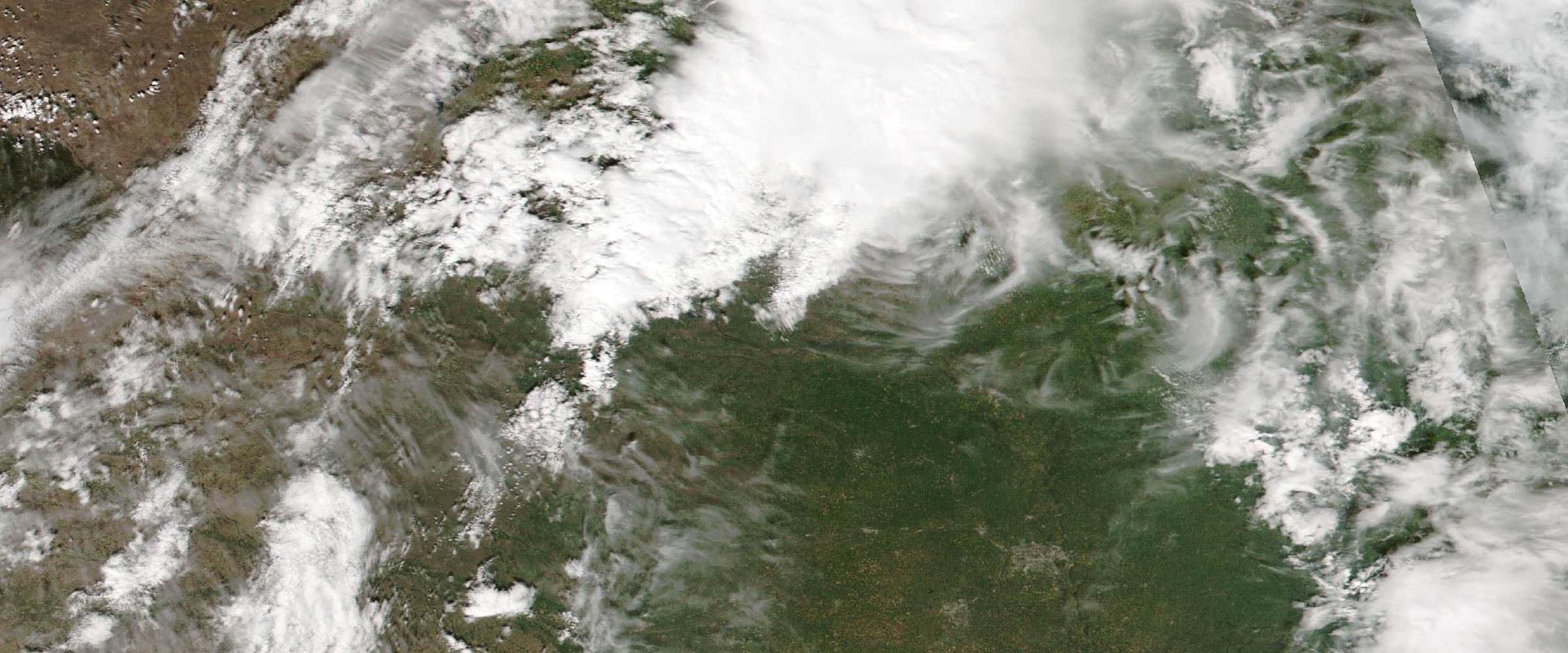
Supercell thunderstorms erupting over the Nebraska-Iowa border on April 23, 2026, with discrete storm towers firing along the dryline (NASA NOAA-20 VIIRS true color)
All
September 16, 2026

Did a Tornado Hit Omaha in April 2026? What the Data Shows

Did a tornado hit Omaha in April 2026? No — but the data explains what people were searching for: an April 11 tornado watch southeast of the metro, confirmed April 23 touchdowns in southwest Iowa, and a city whose tornado memory runs deep.
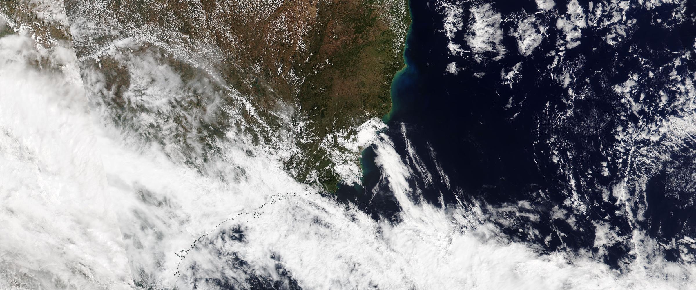
Frontal storm band sweeping over the Sao Paulo coast and southeastern Brazil during the September 2026 severe-weather alert siege (NASA NOAA-20 VIIRS true color, September 12, 2026)
All
September 15, 2026

Eleven Days Under the Anvil: Brazil's Alert Siege Put Up to 124 Million People a Day Inside Severe-Weather Footprints

Eleven straight days of severe-weather alerts over Brazil, with single-day footprints holding up to 124 million people — and by day seven, Brazil's richest state had moved its entire emergency apparatus into one room over tornado risk.
Satellite fire detections blanketing Angola, the DRC, Zambia and Mozambique under a visible smoke pall, September 3, 2026 (NASA Worldview, VIIRS/SNPP true color with thermal anomalies)
All
September 10, 2026

The Fire Belt Nobody Watches: 1,168 Wildfire Detections Across Southern Africa in Ten Days

Wildfire records — warning-level events plus satellite heat detections — were 80% of the board again. The surprise is where: Southern Africa and the Congo Basin produced 1,168 to the United States' 411, plus 321 along an active war front.
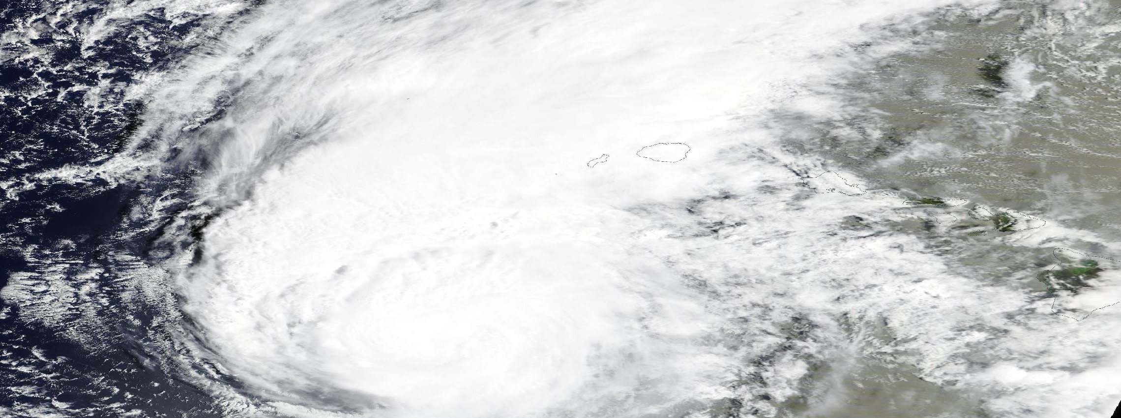
Hurricane Lowell west of the Hawaiian islands on September 7, 2026, its cloud canopy over Niihau and Kauai (NASA Worldview, MODIS/Terra)
All
September 10, 2026

Hurricane Lowell Never Made Landfall on Kauaʻi. It Still Took 91% of the Island's Power.

Lowell passed 42 miles west of Niʻihau and never made landfall — yet it killed two, destroyed Waimea Pier, knocked out Kauaʻi's only weather radar, and cut power to 91% of the county, three days before Iniki's 34th anniversary.
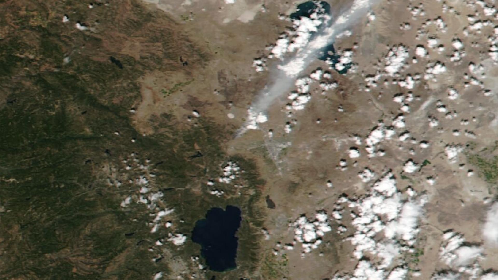
Hawk Fire 2026: Evacuations on Reno's Doorstep in a Week When Wildfire Was 80% of Everything
All
August 26, 2026

Hawk Fire 2026: Evacuations on Reno's Doorstep in a Week When Wildfire Was 80% of Everything

Hawk Fire 2026: five EVACUATE NOW alerts in ten hours as a wind-driven grass fire ran to 15,000 acres five miles from downtown Reno — areas holding ~19,000 homes alerted at the peak, in a week when wildfire was 80% of all confirmed events.
Typhoon Dolphin 2026: Okinawa Strike, Then a China Landfall — 47 Advisories and Counting
All
August 7, 2026

Typhoon Dolphin 2026: Okinawa Strike, Then a China Landfall — 47 Advisories and Counting

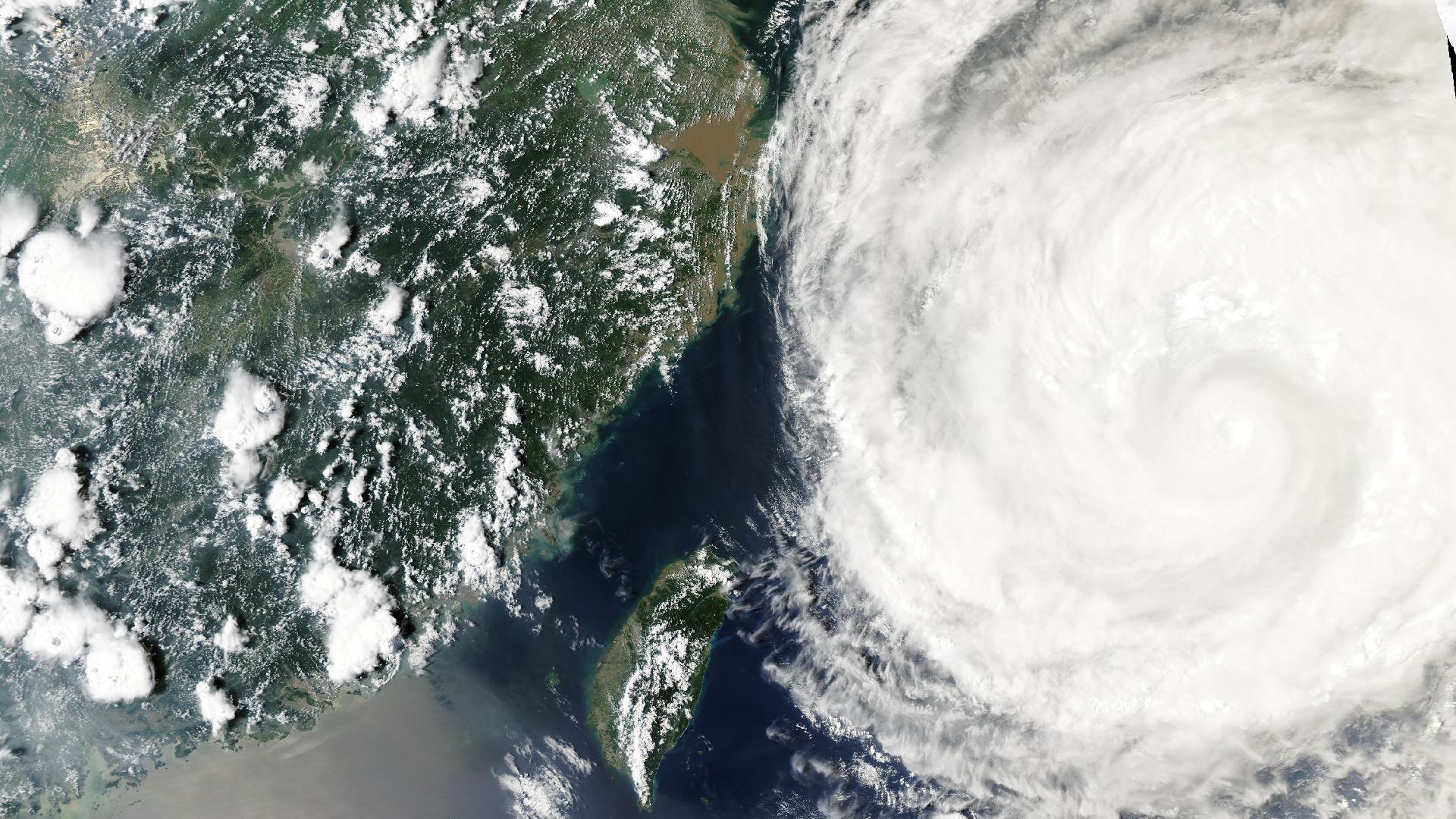
Typhoon Dolphin 2026 crossed Okinawa as a Cat 1, restrengthened to Cat 2 over the East China Sea, and is projected to hit China's Zhejiang coast ~Aug 9. The full 47-advisory intelligence trail, in a 2,166-event week.
Anatomy of a Cascade: Kyushu's M7.1 Earthquake Becomes Tsunami Alert, Building Collapse, and Aftershock Sequence — Four Ha...
All
July 30, 2026

Anatomy of a Cascade: Kyushu's M7.1 Earthquake Becomes Tsunami Alert, Building Collapse, and Aftershock Sequence — Four Hazard Types From One Event in a 2,196-Event Week

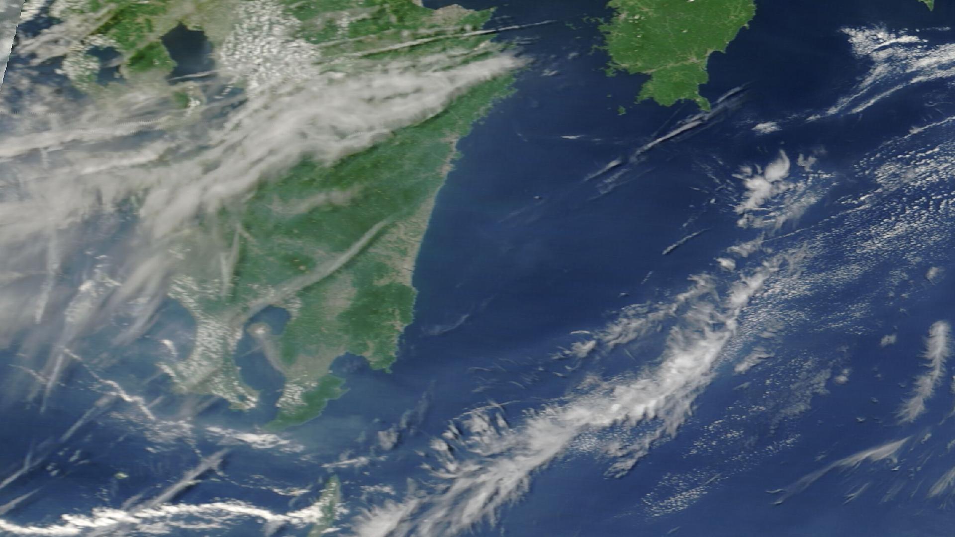
One quake, four hazards in 90 minutes: Japan's M7.1 Kyushu quake became tsunami alerts, a fatal Kumamoto collapse, and a running aftershock sequence — 3.4M exposed. Plus 1,853 wildfires and Afghanistan's deadly floods.
Two Heat Domes, One Holiday Weekend: 767 Agency Heat Alerts Across 40 Countries as Europe Peaks and the Eastern US Heads I...
All
July 1, 2026

Two Heat Domes, One Holiday Weekend: 767 Agency Heat Alerts Across 40 Countries as Europe Peaks and the Eastern US Heads Into July 4

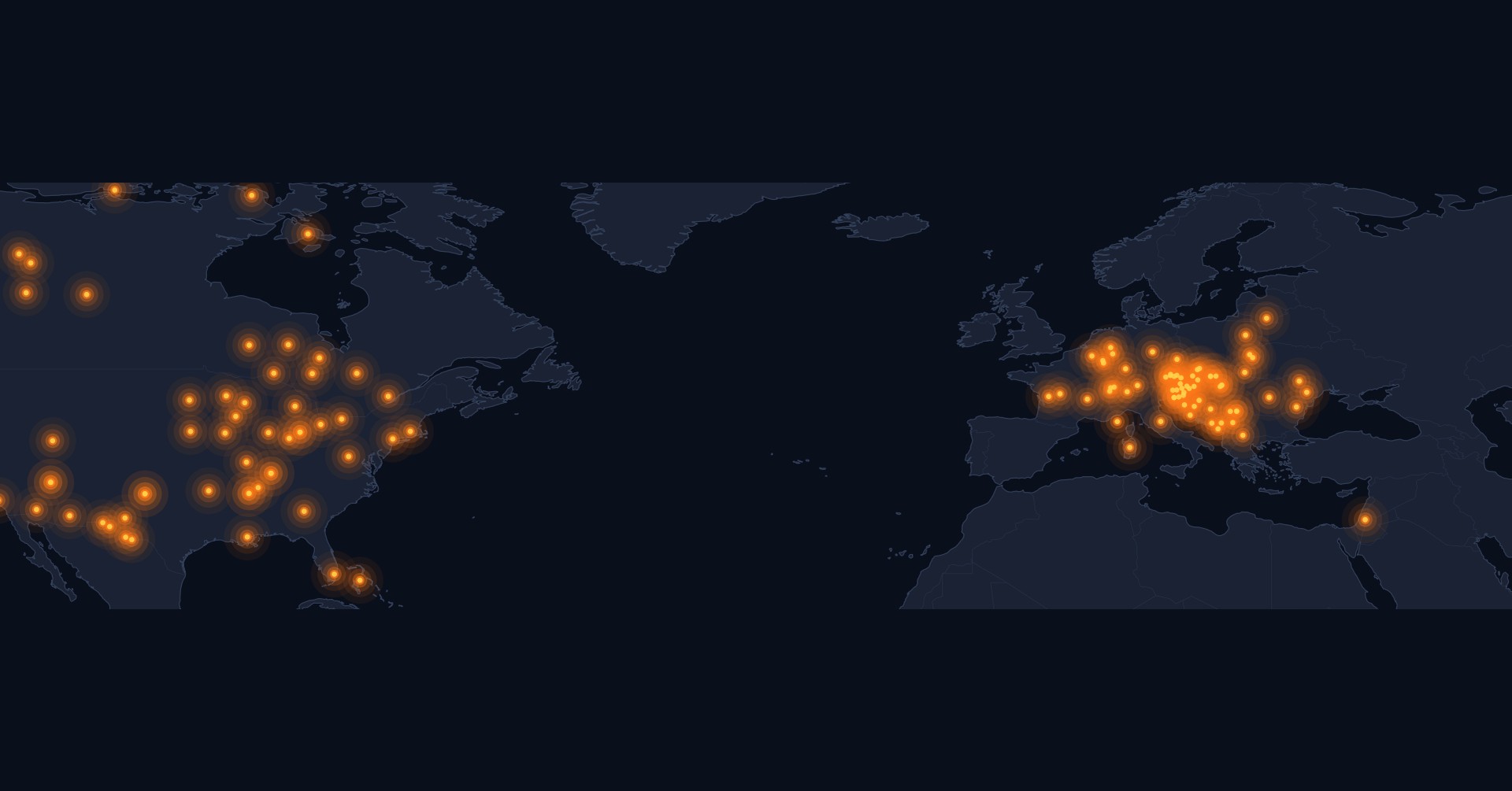
Two heat domes, one holiday weekend: 767 agency heat alerts across ~40 countries — 4x the June 16 brief. Europe peaks now; a second dome hits the eastern US for July 4. Plus 1,468 wildfires, the Canada smoke cascade, and Venezuela's quake doublet.
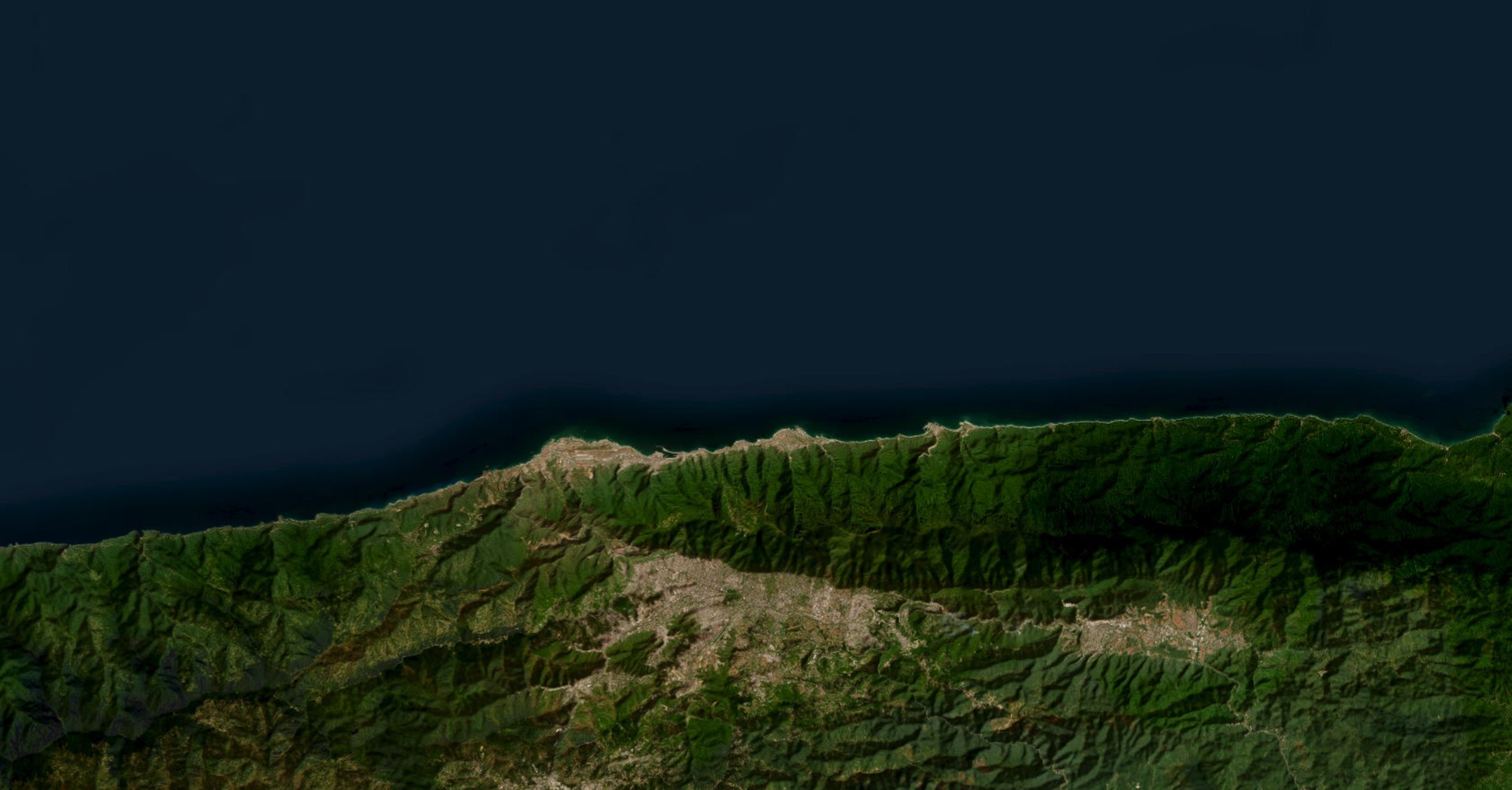
Satellite view of Venezuela's La Guaira coast and Caracas, where the June 24, 2026 earthquake doublet did its heaviest damage, with the Ávila mountains rising between the sea and the capital
All
June 30, 2026

Venezuela's June 2026 Earthquake Doublet: Why It Was So Deadly

On June 24, 2026, an M7.2 earthquake inland was followed 32 seconds later by an M7.5 off the La Guaira coast, in one rupture roughly 200 km long that ran east beneath the coast. Why that geography, and the buildings, made it so deadly.
Heat Belt Closes Around the Northern Hemisphere: 185 Heat Alerts Across Five Continents in 10 Days, Canada Leads with 8 WA...
All
June 17, 2026

Heat Belt Closes Around the Northern Hemisphere: 185 Heat Alerts Across Five Continents in 10 Days, Canada Leads with 8 WARNINGs

Heat belt closes around the Northern Hemisphere: 185 heat alerts in 10 days — 26 WARNINGs, 34 WATCHes, 125 ADVISORIES. Canada 8 ECCC WARNINGs. Switzerland 11 MeteoSwiss WATCHes. Plus 855 wildfires, Etna at WARNING.
Mindanao M7.8 + Cuba M6.1: Two Hemispheres Shake in 19 Hours, Pacific Tsunami Protocols Activate and Stand Down
All
June 8, 2026

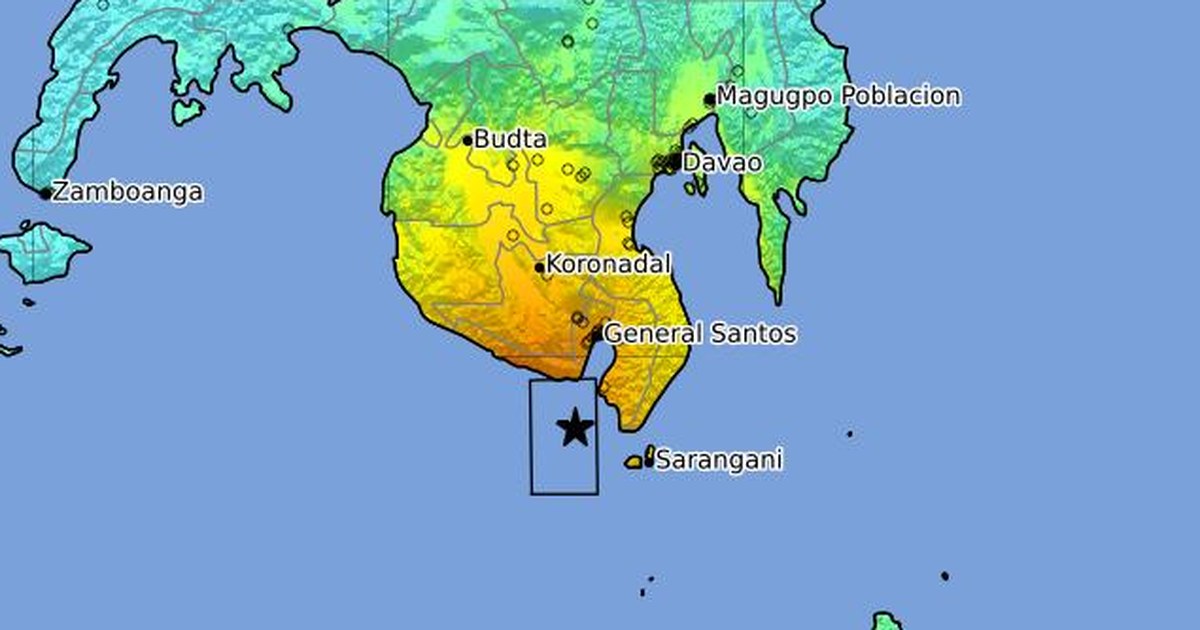
Mindanao M7.8 + Cuba M6.1: Two Hemispheres Shake in 19 Hours, Pacific Tsunami Protocols Activate and Stand Down

Two unconnected earthquakes 19 hours apart: M7.8 off Mindanao exposing 10.9M people, 24 aftershocks M5–6.5, and four Pacific tsunami advisories that activated and cleanly stood down. Plus M6.1 Cuba felt across Florida; 84 wildfires; 16 volcanoes.
The Heat Behind the Fire: Extreme-Temperature WARNINGs Now Cover a Quarter-Billion People — and Europe Is Next
All
May 27, 2026

The Heat Behind the Fire: Extreme-Temperature WARNINGs Now Cover a Quarter-Billion People — and Europe Is Next

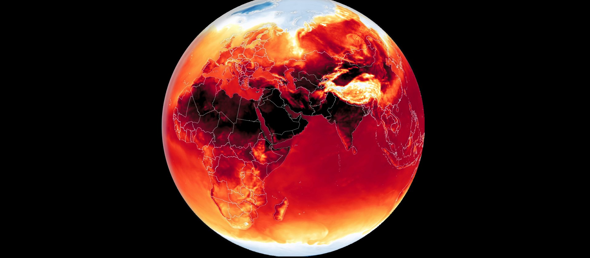
Heat behind the fire: five Extreme Heat WARNINGs enclose ~250M people across three continents (Pakistan alone 215M at 47–50°C) — and formal heat warnings are now spreading across Europe. Plus a persisting fire belt and 13 active volcanoes.
The Global Fire Belt Widens: Two Weeks Into Northern-Hemisphere Fire Season, 820 Wildfire Events Across Six Continents
All
May 20, 2026

The Global Fire Belt Widens: Two Weeks Into Northern-Hemisphere Fire Season, 820 Wildfire Events Across Six Continents

Two weeks into Northern Hemisphere fire season, the Fire Belt has widened. 820 named wildfire events across six continents in 10 days, 212 at WARNING; heat WARNINGs overlay fire-active geography in Mexico, the Sahel, Central Asia.

Understand What's Happening. Know What It Means. Decide What To Do Next.

DisasterAWARE transforms real-world events into operational intelligence for enterprises, governments, insurers, and technology platforms.