


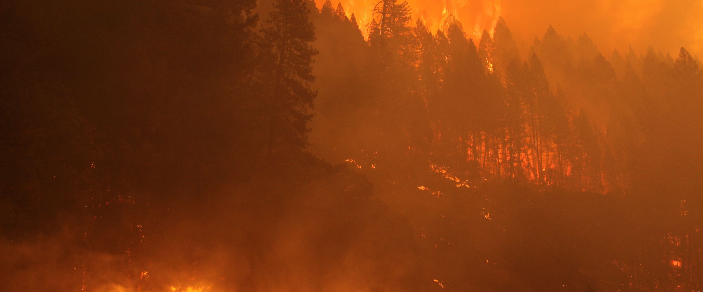
What is the largest wildfire in US history? By the old estimates, either the "Big Burn" of August 1910, when hurricane-force winds fanned some 1,700 fires across about 3 million acres of Idaho and Montana, or the October 1871 Peshtigo fire, which NIFC's fire history puts at 3.78 million acres in Wisconsin and Michigan (NWS: about 1.5 million). Both are estimates, listed separately below. Among fires with an official final size and a mapped perimeter, the largest is Alaska's Kateel River #5 fire of 1957, at 1,161,200 acres. The largest in the lower 48 states is the Smokehouse Creek Fire (Texas Panhandle, February 2024), at 1,054,153 acres in the national incident record (Texas A&M Forest Service's final update gave 1,058,482). Two 2026 fires have since joined the list: Nebraska's Morrill Fire and Oregon's Big Grass Fire, each now its state's record.
Fire size is counted three ways, and they disagree:
Complexes, groups of fires managed as one incident, are listed separately. OBSERVED marks a measured or reported fire size, ALERT a product DisasterAWARE issued; loss figures are estimates from the sources cited.
These are all the single US wildfires since 1950 with a reported final size of 500,000 acres or more in the national incident records (OBSERVED). In those records there are 19, and 11 are in Alaska.
| # | Fire | Year | State | Reported acres | Mapped perimeter (GIS acres) |
|---|---|---|---|---|---|
| 1 | Kateel River #5 | 1957 | Alaska | 1,161,200 | 1,130,020 |
| 2 | Smokehouse Creek | 2024 | Texas, into Oklahoma | 1,054,153 | 1,054,154 |
| 3 | Dixie | 2021 | California | 963,309 | 963,309 |
| 4 | Little Black River | 1950 | Alaska | 892,900 | 1,366,799 |
| 5 | Holanada Creek | 1969 | Alaska | 803,470 | 614,642 |
| 6 | Starbuck | 2017 | Oklahoma, mostly in Kansas | 662,700 | 656,868 (MTBS) |
| 7 | Shageluk E | 1957 | Alaska | 644,380 | 705,214 |
| 8 | Morrill | 2026 | Nebraska | 642,029 | 642,029 |
| 9 | Inowak | 1997 | Alaska | 606,945 | 489,738 |
| 10 | Doe (August Complex) | 2020 | California | 589,368 | 589,835 |
| 11 | Big Grass | 2026 | Oregon, mostly in Idaho | 578,637 | 575,163 |
| 12 | Long Draw | 2012 | Oregon | 558,198 | 558,054 |
| 13 | Fire 832015 (unnamed) | 1988 | Alaska | 541,231 | 558,929 |
| 14 | Wallow | 2011 | Arizona, into New Mexico | 538,049 | 538,052 |
| 15 | Boundary | 2004 | Alaska | 537,627 | 538,652 |
| 16 | Schuman House–Porcupine River | 1950 | Alaska | 529,900 | 608,614 |
| 17 | Butte Creek | 1969 | Alaska | 525,000 | 469,185 |
| 18 | Minto Flats South | 2009 | Alaska | 517,078 | 534,912 |
| 19 | Buza | 1974 | Alaska | 512,000 | 354,010 |
Reported acres: AICC Alaska fire history (Alaska), FPA-FOD 2024 edition (Long Draw, Wallow), WFIGS/IRWIN incident record (2014 onward). Mapped acres: NIFC Interagency Fire Perimeter History and WFIGS perimeters; Starbuck from the MTBS burned-area boundary. State = where the fire started. Big Grass as of 2026-10-09. Before 1992 the national incident record covers only Alaska. The one earlier lower-48 fire known to exceed 500,000 acres is Yellowstone's 1988 North Fork Fire, which started in Idaho's Targhee National Forest and burned 504,025 acres (1988 interagency survey); it is not ranked here.
What stands out:
Some complexes merge, others never touch. These are all US complexes of 750,000 acres or more in the national records (OBSERVED, total of all member fires):
FPA-FOD covers 1992–2024 and WFIGS 2014 onward; complexes before 1992 are not in either record.
Sizes of these pre-perimeter fires are estimates that vary widely by source, so they are listed by date, not ranked.
Sources: NWS Green Bay (Peshtigo); Michigan State University (Thumb); Minnesota DNR (Hinckley); Washington DNR (Yacolt); NWCG staff-ride library and Forest History Society (1910); NIFC fire history (Peshtigo, Thumb); NWS Duluth and MNopedia (1918); AICC fire history (Ruby, Unalakleet).
The Big Burn is usually called the largest wildfire in US history, but it was some 1,736 fires, started by lightning and by people, that hurricane-force winds fanned into one blowup on August 20–21, 1910. It killed an estimated 85 people, firefighters and residents, and it shaped Forest Service fire policy for decades. Peshtigo burned the same night as the Great Chicago Fire and remains the deadliest wildfire in American history. Alaska's Ruby fire of 1940 is the largest in AICC's records but predates mapped perimeters.
The map shows the 19 ranked fires' final perimeters (Alaska's 1950s ones redrawn later), each state record's origin and, in violet, the 15 deadliest and most destructive fires named below (outlines where agencies mapped them, approximate markers for the oldest).
Explore the map: more layers are switched off when it opens. Turn them on with the layers icon at the bottom right of the map: fire growth, dated perimeters for 9 fires since 2004; satellite fire detections (NASA FIRMS) and burn severity (MTBS), 2004–2024; smoke and NWS red flag warnings on each fire's key days (2009–2026); and CAL FIRE damage inspections, 45,326 damaged or destroyed structures at Dixie, August Complex, Camp, Tubbs, Eaton and Palisades.
Each row is the largest fire in that state's own record, by reported final size (OBSERVED), listed under the state where it started.
| State | Largest wildfire | Year | Acres | Notes |
|---|---|---|---|---|
| Alaska | Kateel River #5 | 1957 | 1,161,200 | AICC lists the 1940 Ruby fire at an estimated 1,250,000 acres, with no mapped perimeter. The 2004 Taylor Complex totalled 1,303,356 acres across seven fire records. |
| Arizona | Wallow | 2011 | 538,049 | Burned into New Mexico. |
| California | August Complex | 2020 | 1,032,648 | A complex of lightning fires. Largest single fire: Dixie (2021), 963,309 acres. |
| Colorado | Cameron Peak | 2020 | 208,913 | East Troublesome (2020) is second, at 193,812. |
| Idaho | Murphy Complex | 2007 | 367,785 | Its largest FPA-FOD record; the complex's five records total 655,000 acres in Idaho and Nevada. Larger: the 1910 Big Burn and the 1988 North Fork Fire (504,025 acres), which started in Idaho and burned mostly in Yellowstone. |
| Montana | Lodgepole Complex | 2017 | 270,743 | Fires that merged. The 1910 Big Burn was far larger. |
| Nevada | Martin | 2018 | 416,821 | The 2012 Holloway Fire (461,047 acres) started just inside Nevada but is recorded under Oregon, where about half of it burned. |
| New Mexico | Hermits Peak / Calf Canyon | 2022 | 341,735 | Two fires that merged. |
| Oregon | Big Grass | 2026 | 578,637 | As of 2026-10-09; about two-thirds burned in Idaho. Previous record: Long Draw (2012), 558,198. |
| Utah | Milford Flat | 2007 | 357,185 | Utah's largest in the national records since 1992. |
| Washington | Carlton Complex | 2014 | 256,108 | Larger than the 1902 Yacolt Burn (nearly 239,000 acres). |
| Wyoming | Remington | 2024 | 196,368 | Largest since incident records began in 1992; most of it burned in Montana. The 1988 Yellowstone fires were larger: the Clover-Mist fire's mapped perimeter is 341,292 acres. |
| Texas | Smokehouse Creek | 2024 | 1,054,153 | Burned into Oklahoma. The 2006 East Amarillo Complex totalled 907,245. |
| Oklahoma | NW Oklahoma Complex | 2017 | 779,292 | Four fires, all started in Oklahoma. The largest, Starbuck (662,700 acres), burned mostly in Kansas. |
Acres: AICC (Alaska), FPA-FOD 1992–2024 (Wallow, Murphy, Holloway, Milford Flat), CAL FIRE and WFIGS (August Complex), WFIGS/IRWIN incident record (all others). Clover-Mist: NIFC perimeter history (mapped). Holloway: Central Nevada Interagency Dispatch Center 2012 annual report (215,541 acres in Nevada, 245,547 in Oregon).
Nebraska also has a fire on the national list: the Morrill Fire of March 2026, which burned 642,029 acres of western Nebraska rangeland. Nebraska's governor said its cause was "electrical in nature with wind popping wires and sparks."
Acreage and deaths rank different fires.
The October 1871 Michigan fires, on the same days as Peshtigo, likely killed more than 500 in all (NWS), across several separate fires. Sources: NWS Green Bay; MNopedia (NWS Duluth cites about 1,000 for 1918); Minnesota DNR; Michigan State University; Maui County via the Associated Press (Lahaina); NWCG; CAL FIRE.
Lahaina is the deadliest US wildfire in more than a century, and the Camp Fire is the deadliest in California's records. Next in CAL FIRE's table come Griffith Park (1933, 29 deaths), the Tunnel Fire in the Oakland Hills (1991, 25) and Tubbs (2017, 22). The January 2025 Los Angeles fires killed 19 in the Eaton Fire and 12 in the Palisades Fire.
Measured by structures destroyed, these are the six most destructive wildfires in California's records (OBSERVED, CAL FIRE); the top five also lead the national list:
Outside California, the most destructive are the Chimney Tops 2 fire at Gatlinburg, Tennessee (2016; 2,545 structures lost with the fires it merged into), Oregon's Almeda Drive Fire (2020; 2,428 structures destroyed and 134 damaged, per the Ashland Police and Jackson County Sheriff) and Lahaina (2023; about 2,200 damaged or destroyed). None of the six burned even 300,000 acres.
The DisasterAWARE historical hazard archive holds 130,061 wildfire records worldwide (pulled October 9, 2026). The archive is alert-grain, so one fire can have many records. Records matched to a fire carry a fire assessment linked to the incident record by IRWIN identifier: final acres, perimeters joined, cause, discovery and containment times. Backfill records were added later from NIFC history, not issued at the time; we count them separately.
Fires here with DisasterAWARE products issued as they burned (ALERT tier; times UTC):
| Fire | Records | First DisasterAWARE product | Discovery in the incident record | Perimeters joined |
|---|---|---|---|---|
| Smokehouse Creek 2024 | 9 (5 warnings) | Warning, Feb 27 17:19 | Feb 26 20:16 | 34 |
| Dixie 2021 | 11 (1 warning, 1 watch, 4 advisories) | Warning, Jul 14 23:35 | Jul 14 00:15 | 656 |
| Morrill 2026 | 7 (2 warnings) | Information, Mar 13 00:20 | Mar 13 14:14 | 25 |
| Big Grass 2026 | 1 (warning) | Warning, Jul 23 22:15 | Jul 23 20:30 | 92 |
| Park 2024 | 4 (3 warnings) | Information, Jul 25 12:29 | Jul 24 21:52 | 90 |
| Camp 2018 | 1 (warning) | Warning, Nov 8 19:45 | Nov 8 14:29 | 31 |
| Palisades 2025 | 2 (warnings) | Warning, Jan 8 00:09 | Jan 7 18:30 | 35 |
| Eaton 2025 | 2 (warnings) | Warning, Jan 8 06:28 | Jan 8 02:18 | 35 |
Source: DisasterAWARE Historical Hazards API, queried 2026-10-09; discovery times from the WFIGS incident record.
A few things the archive shows:
The archive also holds live products for Lahaina (a response-support product on August 9, 2023), Hermits Peak–Calf Canyon (filed under Calf Canyon), the Lime Complex's Koktuli River fire, Remington, House Draw, Cameron Peak, Bootleg, Mullen, Martin, Lodgepole, Woolsey, Marshall and Chimney Tops 2. It cannot yet tell an incident confirmed by NIFC from a satellite detection that may not be a fire, so we do not publish archive fire counts.
Every fire perimeter, every alert, one record
DisasterAWARE Historical Event Intelligence links fire perimeters, final acreage, cause and alerts into event-level records — for every hazard, worldwide.
The largest fires on this page burned tundra, sagebrush and grassland; the costliest burned neighborhoods. Wildfire loss is a question of exposure in the wildland–urban interface (WUI) and, increasingly, of who started the fire.
Utility liability. The ignition source now shapes recovery and subrogation:
The data question. Underwriting and subrogation need event-level facts: origin, perimeter growth and cause. DisasterAWARE's wildfire data links each fire's alerts to its perimeters, final acres, cause, discovery and containment times. Smokehouse Creek alone has 34 perimeters joined and Dixie 656. Historical Event Intelligence licenses the archive across every hazard, and the sample datasets show the record format with no signup.
Explore the historical record
Decades of reconstructed, verified catastrophes — browse the Historical Event Intelligence overview, or request sample data for your own portfolio.
What is the largest wildfire in US history? By the old estimates, the 1910 Big Burn (about 3 million acres in Idaho and Montana) or the 1871 Peshtigo fire (3.78 million acres in NIFC's history; 1.5 million by NWS). Among fires with an official final size and a mapped perimeter, it is Alaska's Kateel River #5 fire of 1957 (1,161,200 acres). In the lower 48 it is Texas's 2024 Smokehouse Creek Fire (1,054,153 acres).
What is the largest wildfire in California history? The August Complex of 2020, a group of lightning fires, at 1,032,648 acres (CAL FIRE). The largest single fire is the 2021 Dixie Fire, at 963,309 acres.
What is the deadliest wildfire in modern US history? The Lahaina fire on Maui, on August 8, 2023, which killed 102 people. The deadliest in American history is the 1871 Peshtigo fire in Wisconsin, with an estimated 1,200 to 2,400 deaths.
What is the costliest wildfire in US history? The January 2025 Los Angeles fires, Palisades and Eaton: around US$53 billion overall and about US$40 billion insured, by Munich Re's estimate, the most expensive wildfire disaster to date.
What is the largest wildfire in Colorado history? The Cameron Peak Fire of 2020, at 208,913 acres, ahead of the 2020 East Troublesome Fire (193,812 acres).
Sources: AICC Alaska fire history; USDA Forest Service FPA-FOD (1992–2024); NIFC WFIGS and Interagency Fire Perimeter History; USFS/USGS MTBS; CAL FIRE top-20 lists; Ashland Police Department and Jackson County Sheriff (Almeda Drive, 2022); Texas A&M Forest Service; NWS Green Bay, NWS Duluth; NWCG; Minnesota DNR; MNopedia; Washington DNR; Michigan State University; Forest History Society; NIFC historically significant fires; Central Nevada Interagency Dispatch Center (Holloway); Munich Re; California Department of Insurance; US Department of Justice; Hawaiian Electric; Maui County; Fire Victim Trust; Pacific Disaster Center/FEMA (Lahaina structures); NPS Chimney Tops 2 fire review (Sevier County data); 1988 Greater Yellowstone interagency survey (North Fork); Xcel Energy; Associated Press; Nebraska Public Media; DisasterAWARE Historical Hazards API (queried 2026-10-09).


Decision-ready intelligence for understanding what's happening, what is impacted, and what to do next. Global hazard, severe weather, catastrophe, and physical risk intelligence trusted by governments, enterprises, insurers, humanitarian organizations, and technology platforms worldwide.
Request DemoContact Us

